News
Parley’s Canyon Fire currently 541 acres, 21% contained

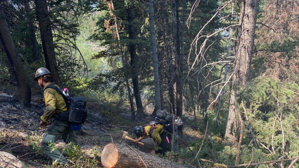
Crews fighting the Parley's Canyon Fire will face a new challenge today as storms are forecasted to hit the area. Photo: Utah Fire Info
SUMMIT COUNTY, Utah — A Red Flag Warning is in effect on Tuesday, August 17, which brings in new weather conditions for the crews fighting the Parley’s Canyon Fire.
Severe weather is one of two primary concerns today and tomorrow across Utah and SW Wyoming. Currently carrying a marginal outlook for severe weather in the forecast area and will be on alert for these impactful storms which may produce large hail and damaging winds #utwx pic.twitter.com/CMCiXPIODN
— NWS Salt Lake City (@NWSSaltLakeCity) August 17, 2021
The fire as of Tuesday morning is 541 acres and 21 percent contained.
The forecasted gusty winds could lead to rapid-fire growth or extreme fire behavior. There is also the potential for new lightning-caused fires.
Flash Flooding is the other primary concern for today and tomorrow across southern and central Utah. Areas most at risk: slot canyons, normally dry washes, and burn scars. Never attempt to travel through flooded roadways and get to higher ground if flash flooding occurs! #utwx pic.twitter.com/vUZt1z9o0Z
— NWS Salt Lake City (@NWSSaltLakeCity) August 17, 2021
Another worry for officials is the potential for mudslides in the freshly burned area near I-80, as roughly a total inch of rain is forecasted on Tuesday.
The firefighters’ current objective is to secure the fire’s perimeter enough so that evacuated residents in Summit Park, Lambs Canyon, and Upper Pinebrook can return to their homes.
Park City School District pushed back its first day of school to Monday, August 23. The first day was originally set to be this Thursday, August 19.
On Monday, Summit County declared a local emergency in a call for federal and state resources. It also grants the County Manager emergency powers.
“Team #4 is working closely with the Summit County Sheriff’s Office to evaluate when it is safe to lift evacuations, once the eastern side of the fire perimeter is secured,” this morning’s report said.
“Closures: For the safety of the public, the Unita-Wasatch-Cache National Forest enacted an area closure that includes all roads, trails, trailheads, picnic sites, and all National Forest System lands within the Lambs Canyon area and from Maple Grove (winter gate) in upper Millcreek Canyon east to the Forest Boundary. The full map and official closure order are available at https://inciweb.nwcg.gov/incident/closures/7802/.”


