News
Overnight Snow Brings Avalanche Danger to the Wasatch
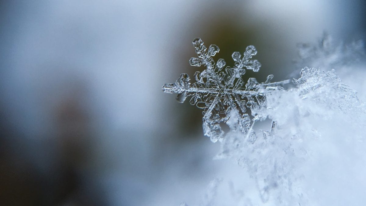
Snowflake Photo: Photo by Aaron Burden
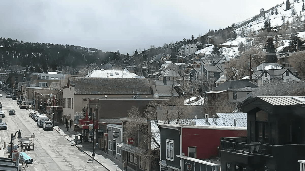
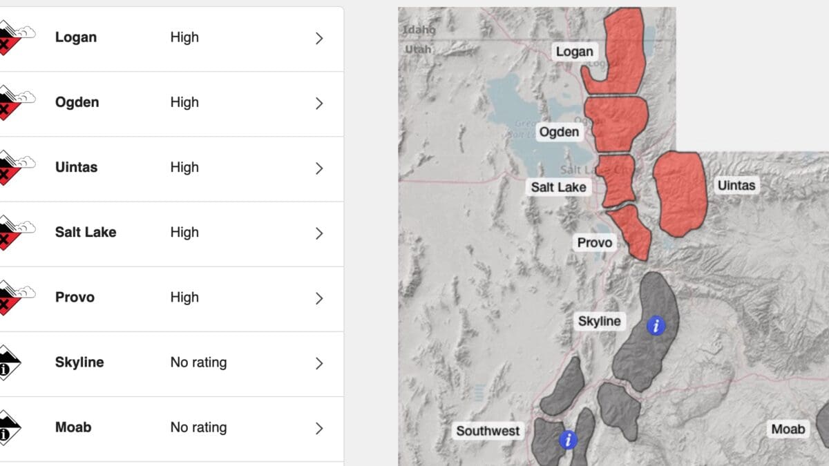
WASATCH MOUNTAINS, Utah. — The Utah Avalanche Center (UAC) has been on top of its forecasting and education this season, sharing knowledge about avalanche danger through social media outlets for both novice and seasoned backcountry enthusiasts. After almost 30 days of no snow, heavy snowfall and drifting snow from wind in the past 48 hours resulted in the UAC issuing a “High” avalanche danger this morning to the mountains along the Wasatch Range from Logan to Provo.
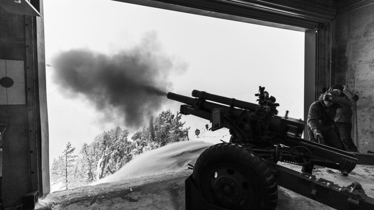
“It’s no mystery right now we have weak, weak, snow all over the map. Pretty much every single slope out there mid and upper elevations except due south, true due south, where the sun melted that snow down to the rocks,” said Trent Meisenheimer, UAC forecaster, avalanche education and awareness specialist and visual specialist, in a video released yesterday on the UAC Instagram page.
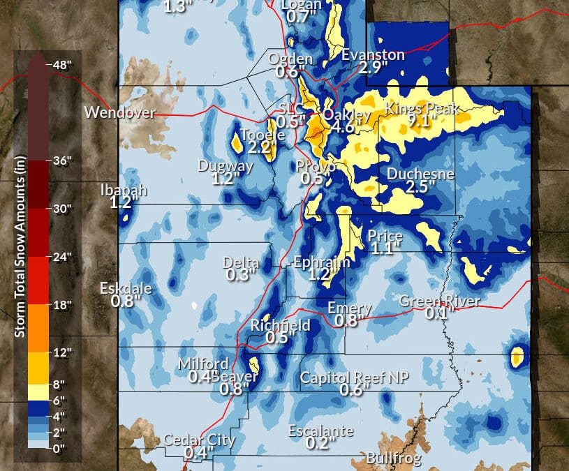
Last night’s storm delivered more of the goods, as usual, to the Cottonwoods with Brighton reporting 12 inches and Solitude reporting 10 inches for 24-hour snow totals. Snowbird reported 21 inches in the past 48 hours and only six inches of fresh snow on the East side of the mountain range was reported at Deer Valley and Park City.
The “High” avalanche danger remains in effect throughout the day. Check the UAC website for a daily update of information.
Additional video from yesterday:
TownLift

6995 Rising Star Ct
Kamas, UT 840364810 Bear View Drive
Park City, UT 84098Desert Color, Lot 442 Phase 4
St. George, UT 847901275 Annies Lane
Spanish Fork, UT 84660748 N Explorer Peak Drive
Heber City, UT 84032385 W Goshawk Ranch Road
Park City, UT 84098Talk of the Town


Park City Jobs
Customer Service Representative, Locals
3 days ago Part time $15.00 - $18.00 hourly
Development Coordinator, National Ability Center
4 days ago Full time $20.00 - $22.00 hourly

Customer Service Representative, Outlets Park City
4 days ago Part time
Maintenance Professional – Full-Time, Sea to Ski Property Management
4 days ago Full time
Wellness Retail Sales Specialist, Hemped Park City
5 days ago Part time $18.00 - $21.00 hourly
You May Also Like