The first real snow storm of the season hits Sunday with up to 2 feet of snow

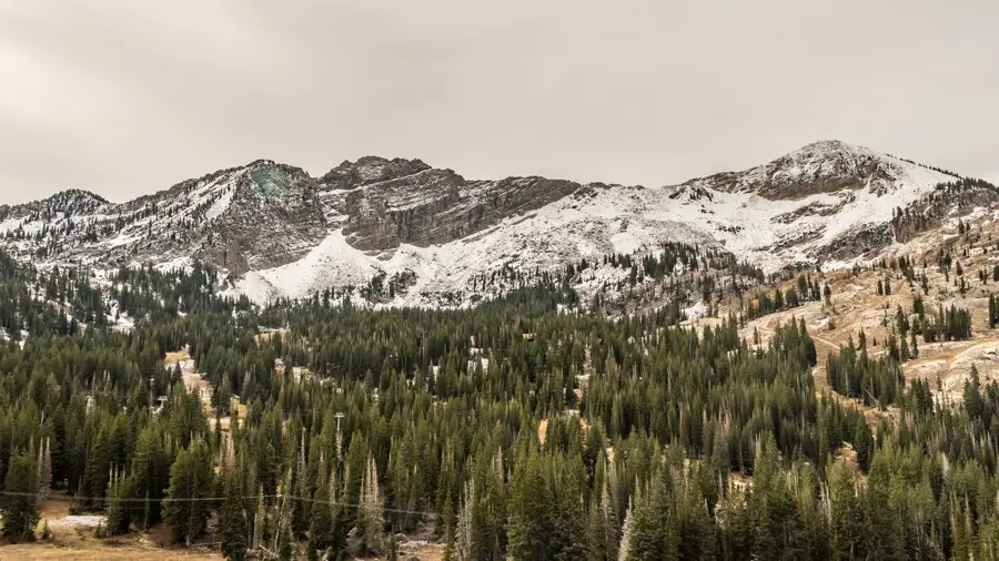
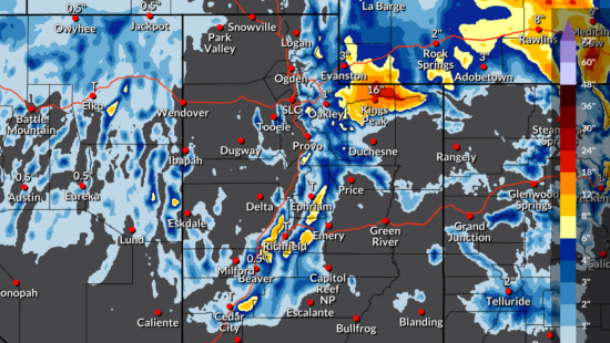
PARK CITY, Utah — The first significant snowstorm of the 2026-27 season is on the way! TownLift’s snow forecast calls for 11 inches at Park City Mountain and 7 inches at Deer Valley over the next five days, with the Cottonwoods well ahead at 23 inches for both Alta and Snowbird. Most of it falls Sunday afternoon through Monday morning.
The National Weather Service in Salt Lake City says a strong atmospheric river will collide with a cold front Sunday into Monday, bringing widespread moderate to heavy precipitation to the region and accumulating snow to the mountains.
Resort by resort
Forecasts as of noon Friday, Oct. 30. The TownLift Snow Report Page has live totals
| Resort | TownLift 5-day | NWS range | Scheduled opening |
|---|---|---|---|
| Alta | 23″ (likely 17-26″) | 8-15″ | Nov. 20 |
| Snowbird | 23″ | 9-15″ | Nov. 27 |
| Brighton | 17″ | 5-14″ | Not yet announced |
| Solitude | 12″ | 5-11″ | Nov. 20 |
| Park City Mountain | 11″ | 2-10″ (Canyons Village 1-7″) | Nov. 20 |
| Deer Valley | 7″ | 0.5-7″ | Dec. 5 |
| Snowbasin | 5″ | Trace to 2″ | Nov. 27 |
| Powder Mountain | 4″ | None expected | Dec. 11 |
Opening dates from Ski Utah; all are weather dependent.
Timing and what town will see
Sunday is the big day. The storm starts warm. NWS forecasts snow levels in the 8,000 to 9,000 foot range through Saturday, dropping to around 7,400 feet Sunday and as low as 6,500 feet by Monday morning. That means rain in Old Town and the Snyderville Basin for most of the weekend, with a chance of wet snow in town late Sunday night into Monday as the cold front passes.
NWS cautions that accumulating mountain snow could affect travel in the northern mountains. No weather alerts were in effect for the Park City area Friday, and UDOT listed no alerts for the canyons. Guardsman Pass is set to close for the winter season Friday Oct. 30.
What other forecasters say
OpenSnow‘s Utah forecast describes a very moist storm bringing heavy rain and high-elevation snow to Utah this weekend, with totals depending heavily on elevation because of the warm start.
Powderchasers flagged the colder second phase as the one to watch for northern Utah. In its Thursday forecast, the outlet said the Wasatch is likely to overperform under northwest flow Sunday night into Monday, and that the Cottonwoods could pick up roughly 7 to 15 inches during that window. It also noted the high Uintas should see significant totals at upper elevations.
Opening day is three weeks out
Park City Mountain, Alta and Solitude are all targeting Friday, Nov. 20, according to Ski Utah. Snowbird and Snowbasin follow Nov. 27, the day after Thanksgiving. Deer Valley has set Saturday, Dec. 5, and Powder Mountain Dec. 11. Brighton has not announced a date.
Follow the snow with TownLift
TownLift’s new Park City Snow and Weather Report now tracks all eight resorts in one place: overnight and 48-hour totals as each resort reports them to Ski Utah.
Sign up for First Chair, TownLift’s free powder-day email. Any morning a resort reports 6 inches or more, First Chair lands in your inbox around 7 a.m. with snow totals, the forecast, road conditions, webcams and the day’s local news. It only goes out on big snow days, and you can unsubscribe anytime.


621 E Canyon Gate
Park City, UT 84098
4251 E Lipizzan Jump
Moab, UT 84532