Fields & Forks invites community to walk Heber Valley’s North Fields

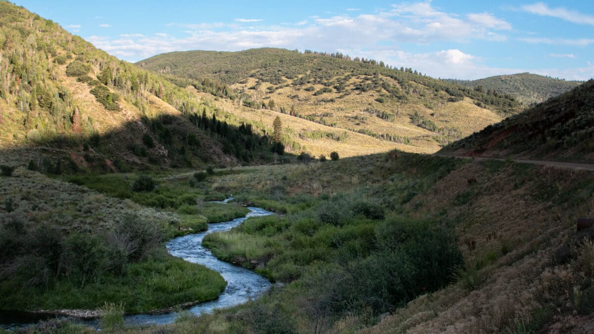
Free Oct. 10 event comes as conservation efforts and UDOT’s proposed highway corridor keep the future of the landscape in focus.
HEBER CITY, Utah — Residents can soon walk one of Heber Valley’s largest remaining stretches of working farmland as questions about growth, conservation and a proposed highway corridor continue to shape the future of the North Fields.
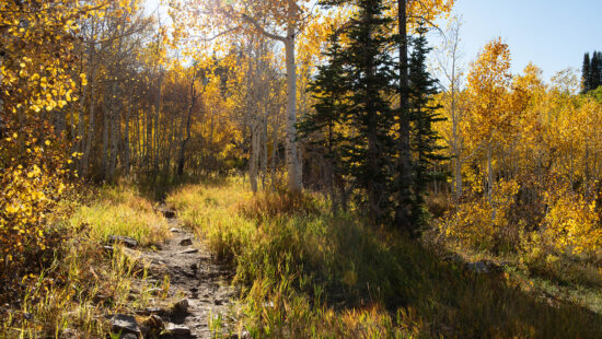
Fields & Forks will host a free community walk and barbecue Saturday, Oct. 10, along dirt and gravel farm roads through the North Fields, an expanse of pasture, hay meadow and wetlands north of Heber City and west of U.S. 40.
The event’s message is straightforward: give people an opportunity to experience the North Fields while they remain working agricultural land.
“Come walk the fields while they’re still fields,” organizers write on the Fields & Forks website.
The invitation comes as preservation efforts and development pressures continue to shape the area.
Wasatch County voters approved a $10 million open-space bond in 2018 to help preserve open space through voluntary conservation agreements with landowners. The county’s Open Lands program uses conservation easements, legal agreements that allow landowners to retain ownership while restricting future development.
By March 2025, the Wasatch Open Lands Board reported that all $10 million from the bond had been appropriated, along with an additional $58,000, among nine projects covering about 623 acres. The projects include agricultural land and other open space throughout Wasatch County, according to the board’s 2024-25 annual report.
Federal conservation efforts have also reached the North Fields.
The U.S. Department of Agriculture’s Natural Resources Conservation Service said Utah Open Lands worked with the agency in 2023 to secure a Grasslands of Special Environmental Significance designation for land in the North Fields, recognizing its soils and long history of agricultural use. The designation can increase federal support available for qualifying agricultural conservation easements.
NRCS highlighted that work this summer while announcing the permanent protection of the 58-acre Flying A Ranch Preserve in the North Fields. The agency also reported that Wasatch County lost nearly 20,000 acres of farmland, rangeland and woodland to development between 2009 and 2023.
At the same time, the Utah Department of Transportation is studying the Heber Valley Corridor, a proposed transportation project intended to improve regional and local mobility, reduce congestion and provide an alternative route through the valley.
UDOT published its draft environmental impact statement Jan. 7 and identified Alternative B as its preferred alternative. The route would pass through portions of the North Fields.
According to UDOT, Alternative B would provide a faster and more direct route for regional traffic and heavy trucks traveling around Heber City and require fewer residential and business relocations than Alternative A. UDOT estimates Alternative B would require eight relocations, including six homes and two businesses, compared with 27 under Alternative A.
The preferred route would also affect agricultural land and wetlands in the North Fields.
To limit development associated with the highway, UDOT has committed, if Alternative B is selected, to allowing no additional future access to the corridor through the North Fields between U.S. 40 south of Potter Lane and north State Route 113, except at 900 North. UDOT has also said it would prioritize the North Fields when identifying wetland mitigation sites and permanently protect mitigation land through conservation easements or similar legal protections.
The proposal has generated extensive public discussion about transportation needs and potential effects on agricultural land, wetlands, wildlife habitat, homes and businesses.
The debate remains unresolved.
As of a Sept. 16 project update, UDOT was conducting additional wetlands and cultural-resource surveys, updated traffic analysis, engineering and impact analysis in response to potential design refinements raised during the public comment process.
Among those refinements is a potential eastward shift of the alignment through the North Fields. UDOT says moving the route east could reduce impacts on agricultural operations but could also make the route less effective because some motorists would have to travel farther out of their way.
A final environmental impact statement and Record of Decision are expected in spring 2027.
Fields & Forks is not part of UDOT’s formal environmental review process. Organizers instead describe the Oct. 10 event as a community walk meant to bring people onto farm roads many residents and visitors typically see only from surrounding highways.
Participants can choose routes of just under 1, 2, or 4 miles. Check-in begins at 3 p.m., with the four-mile route departing at 4 p.m., the two-mile route at 5 p.m., and the one-mile route at 5:15 p.m. A barbecue begins at 6 p.m.
The event is free, but organizers request registration to help plan routes, staffing, and food. Registered participants will receive the route map and starting location before the walk.
Registration and volunteer information are available at FieldsandForks.org.


2266 E Garfield Avenue
Salt Lake City, UT 84108