News
Utah’s snowpack above average but faces rapid melt amid warm temperatures
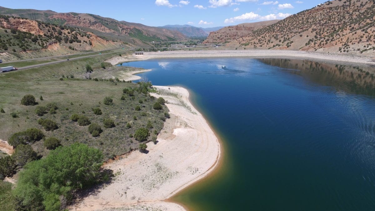
Rockport Reservoir in June 2021. Photo: Weber Basin Water Conservancy District
SALT LAKE CITY — Utah’s snowpack is currently at 104% of average, but with unseasonably warm temperatures expected this week, much of the low- and mid-elevation snow could melt quickly.
Despite being above normal for this time of year, the snowpack is only at 88% of Utah’s typical April 3 peak, raising concerns about whether the state has already reached its seasonal high. Temperatures on this week are forecasted to be 20 degrees above normal, accelerating the melt-off.
Water resource experts prefer gradual snowmelt rather than rapid melt because it allows for a steady and controlled release of water into streams, rivers, and reservoirs. When temperatures rise quickly, large amounts of snowmelt can overwhelm rivers and streams, leading to flooding. Experts also say a gradual melt also allows water to soak into the soil, replenishing groundwater and preventing excess runoff.
Another reason water resource managers prefer gradual snowmelt is that reservoirs like the Great Salt Lake, Jordanelle, Deer Creek, and others depend on a controlled flow of water from melting snow. If too much water enters all at once, reservoirs can reach capacity too quickly, forcing managers to release excess water downstream instead of storing it for summer use. This can be problematic during dry months when water demand is high.
A shift toward a more active weather pattern is expected later in the week, but forecasters say any storms will bring only minimal snowfall to higher elevations, offering little relief to the rapidly diminishing snowpack.
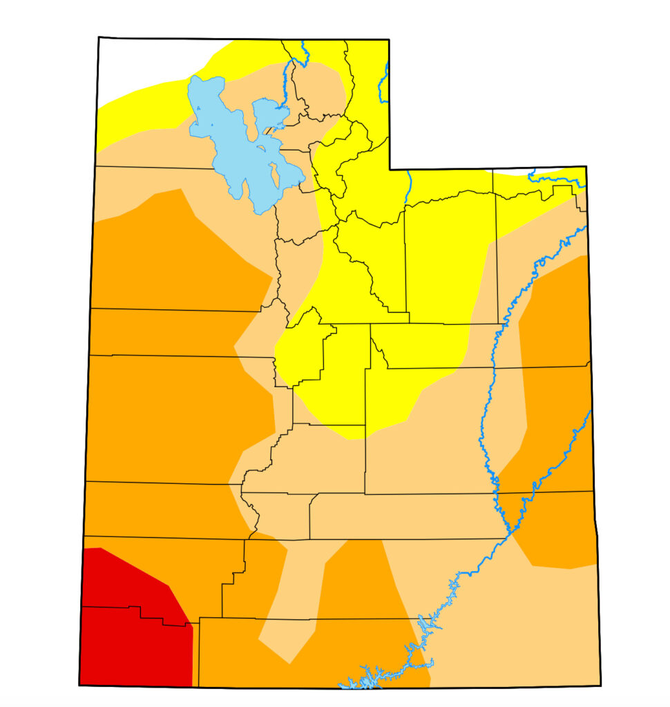
Utah’s drought monitor page shows most of the state in a moderate to severe drought stage as of March 27. While it is not unusual for Utah to experience moderate to severe drought conditions in March a rapid snowpack melt could exacerbate drought conditions this summer.
By: Marina Knight

325 White Pine Canyon Road
Park City, UT 84060
1511 S Valley View Circle
Springville, UT 84663
2349 S Lava Vista Drive, Lot 32
Santa Clara, UT 84765
3267 W Deer Hollow Road, Unit 2305
Park City, UT 84060
438 Castle Valley Drive
Castle Valley, UT 84532
80 West 300 North
Salt Lake City, UT 84103Talk of the Town


Park City Jobs

Hiring Barista Assistants and Baristas, Silver King Coffee
1 day ago Part time $17.00 - $30.00 hourly
General Maintenance Technician, Moose Management Vacation Rentals
5 days ago Full time

Office Coordinator, Park City Community Foundation
8 days ago Full time $50,000 - $55,000 yearly

Summit Land Conservancy Programs Specialist, Summit Land Conservancy
8 days ago Full time
Vice President of Finance, Park City Community Foundation
8 days ago Full time $115,000 - $130,000 yearly