Weather
Weekly weather report: precipitation and potential snow early this week, sunny skies later on

Bloods Lake Trail parking October 2, 2023 Photo: Mountain Trails Foundation Webcam
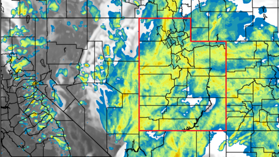
PARK CITY, Utah — Precipitation is forecasted today and tomorrow in Park City, according to the National Weather Service. With lows in the mid 30s both days, there is a chance that rain could become snow. Sunny skies and temperatures in the high 50s and 60s are expected later in the week.
Monday, Oct. 2
Showers and possibly a thunderstorm are forecasted for today. High temperatures will be near near 46, and there will be a south wind of 5 to 10 mph. Chance of precipitation is 90%. Tonight it will be mostly cloudy, with a chance of showers and thunderstorms. The low will be approximately 34, with south-southwest wind 6 to 8 mph. Chance of precipitation is 50%.
Tuesday, Oct. 3
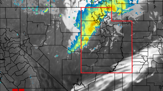
Tuesday will be mostly cloudy, and showers will be likely, mainly after 9 a.m. High temperatures will be near 46, with a south-southwest wind 6 to 8 mph. The chance of precipitation is 60%. Tuesday night will be mostly cloudy, with a 30% chance of showers, mainly before midnight. The low will be approximately 34. West wind 5 to 7 mph will become calm in the evening.
Wednesday, Oct. 4
Wednesday is forecasted to be mostly sunny, with a high near 54. Calm wind becoming northwest 5 to 8 mph in the afternoon. Wednesday night will be mostly clear, with a low around 33.
Thursday, Oct. 5
Thursday is forecasted to be sunny, with a high near 62. Thursday night will be clear, with a low around 37.
Friday, Oct. 6
Friday is forecasted to be sunny, with a high near 67. Friday night will be mostly clear, with a low around 40.
Saturday, Oct. 7
Saturday is forecasted to be sunny, with a high near 68. Saturday night will be mostly clear, with a low around 41.
Sunday, Oct. 8
Sunday is forecasted to be sunny, with a high near 67.
By: TownLift

2410 W Entrada Trail, Unit #4
St. George, UT 84770
4739 W Snowflake Drive
Highland, UT 84003
1011 E Mill Road
Heber City, UT 84032
950 S Aspen Circle
Woodland Hills, UT 84653Talk of the Town


Park City Jobs

Marketing Manager, Junction Commons
Today Full time
LEAD BARTENDER, VR Inc
Today Full time $21.00 - $22.00 hourly
Venue & Event Coordinator (Kimball Arts Festival VIP Lounge), Kimball Art Center
7 days ago Seasonal $20.00 - $22.50 hourly

Summer Garden Educator and Counselor, Summit Community Gardens and EATS
8 days ago Seasonal $19.00 - $20.00 hourly

Job Fair May 26 2026, Grand Hyatt Deer Valley
9 days ago Full time