Weather
Park City could see up to six inches of snow through Tuesday morning
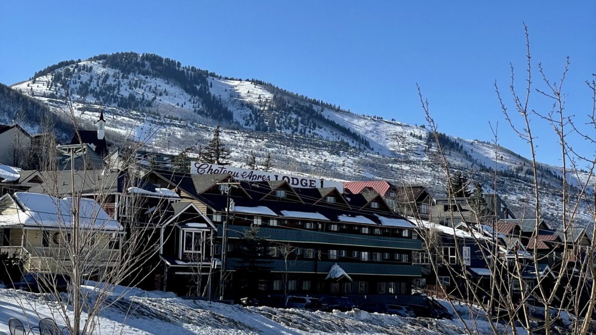
Snow is on the way. Photo: TownLift
PARK CITY, Utah — The National Weather Service (NWS) is forecasting between 4 to 6 inches of snow in the Wasatch Back starting Sunday night through Tuesday morning.
A Winter Weather Advisory is in effect from 5 am MT Monday to 5 am Tuesday. “Winter driving conditions can be expected along all routes,” NWS said.
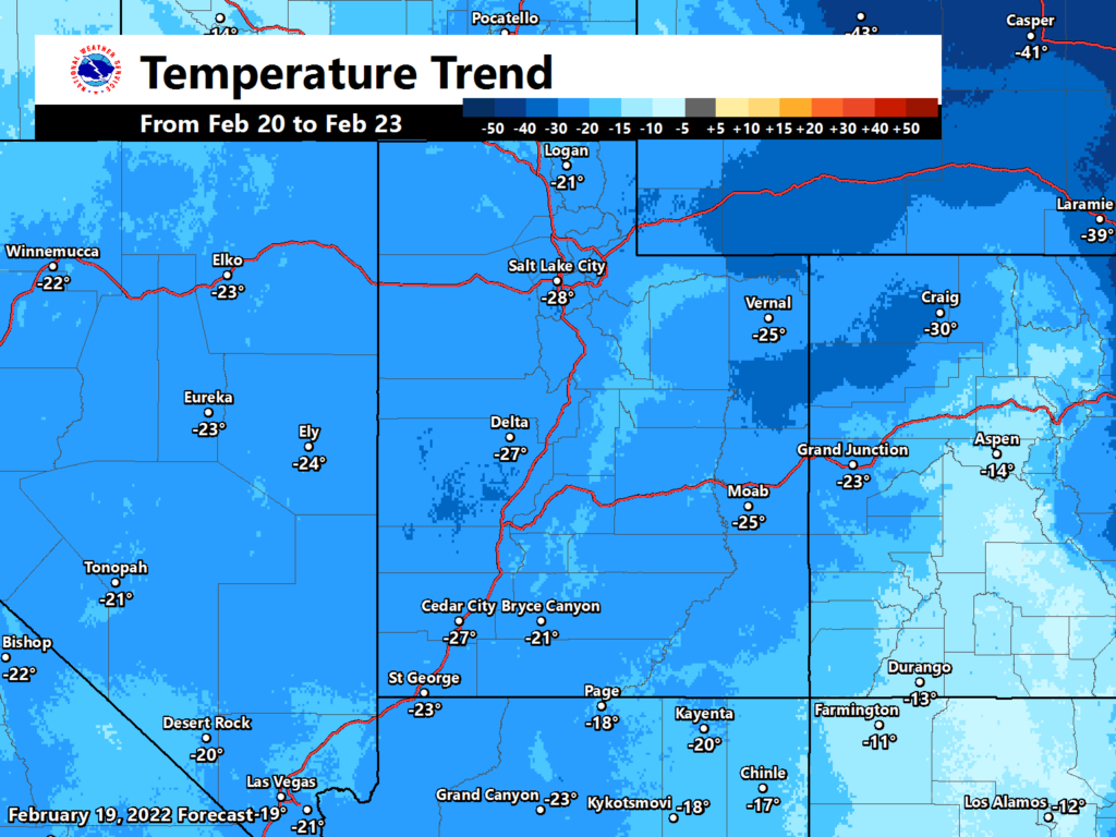
Here are the forecast snowfall totals for Sunday evening through Tuesday morning. Confidence is generally high in these ranges except for Salt Lake, Tooele, and Utah Valleys where the band could set up further north (increasing totals) or further south (decreasing totals). #utwx pic.twitter.com/KM6MHcMV3K
— NWS Salt Lake City (@NWSSaltLakeCity) February 20, 2022
Despite the warm weather on Sunday, Utah will experience a significant temperature drop in the next several days.
NWS forecast:
Sunday Night
Snow likely, mainly after midnight. Mostly cloudy, with a low around 24. South southwest wind 13 to 15 mph. Chance of precipitation is 70%. Total nighttime snow accumulation of around an inch possible.
Washington’s Birthday
Snow. Temperature falling to around 20 by 5pm. West northwest wind 10 to 14 mph. Chance of precipitation is 90%. New snow accumulation of 3 to 5 inches possible.
Monday Night
A 50 percent chance of snow. Mostly cloudy, with a low around 12. Wind chill values as low as zero. West wind around 11 mph. New snow accumulation of less than a half inch possible.
Tuesday
A 50 percent chance of snow. Mostly cloudy, with a high near 20. South wind around 10 mph. New snow accumulation of less than one inch possible.
Tuesday Night
A 50 percent chance of snow. Mostly cloudy, with a low around 8. North northwest wind 10 to 14 mph becoming east after midnight. New snow accumulation of less than one inch possible.
Wednesday
Snow likely. Mostly cloudy, with a high near 16. Chance of precipitation is 60%. New snow accumulation of less than one inch possible.
By: TownLift

4539 S Willow Road
Holladay, UT 84117
24 South 600 East
Salt Lake City, UT 84102
10584 Basin Canyon Road
Park City, UT 84098
965 Goshen Canyon Road
Mona, UT 84645
19 East 100 North
Spring City, UT 84662Talk of the Town


Park City Jobs

Assistant Manager, LOMA
3 days ago Full time $35.00 hourly
Property Inspector, Park City Rental Properties
4 days ago Full time $23.00 - $25.00 hourly
Owner Relations Manager, Park City Rental Properties
4 days ago Full time
Operations Manager, Park City Rental Properties
4 days ago Full time

Hiring Barista Assistants and Baristas, Silver King Coffee
6 days ago Part time $17.00 - $30.00 hourly