Weather
Winter Weather Advisory issued for Park City until 5 am on Thursday – up to 24″ of snow
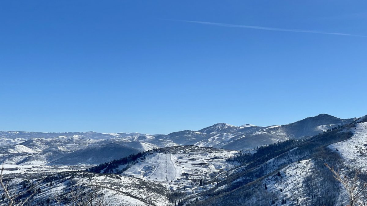
Wednesday should be a great powder day. Photo: TownLift
PARK CITY, Utah — The National Weather Service (NWS) is forecasting up to 24 inches of fresh snow for Park City through Thursday morning, with precipitation beginning on Tuesday afternoon.
A Winter Weather Advisory is in effect for Park City until 5 am on Thursday.
“Winter driving conditions including snow covered roads and greatly reduced visibility can be expected at times from Tuesday morning through Wednesday night,” NWS said.
Full NWS forecast:
Tuesday Night
Snow, mainly after 11pm. Low around 24. Southwest wind 16 to 21 mph. Chance of precipitation is 90%. New snow accumulation of 3 to 7 inches possible.
Wednesday
Snow. The snow could be heavy at times. High near 28. Breezy, with a southwest wind 22 to 28 mph. Chance of precipitation is 100%. New snow accumulation of 5 to 9 inches possible.
Wednesday Night
Snow. Low around 28. West southwest wind 11 to 21 mph. Chance of precipitation is 80%. New snow accumulation of 2 to 4 inches possible.
Thursday
Snow likely. Mostly cloudy, with a high near 31. Southwest wind 13 to 15 mph. Chance of precipitation is 70%. New snow accumulation of less than one inch possible.
Thursday Night
A 20 percent chance of snow before 11pm. Mostly cloudy, with a low around 27.
Friday
A 30 percent chance of snow after 11am. Partly sunny, with a high near 37. New snow accumulation of less than a half inch possible.
Friday Night
Snow likely. Mostly cloudy, with a low around 27.
Saturday
Snow likely, mainly before 11am. Mostly cloudy, with a high near 29.
Saturday Night
Partly cloudy, with a low around 13.
Sunday
Sunny, with a high near 29.
Sunday Night
Mostly clear, with a low around 15.
By: TownLift

2475 W White Pine Lane
Park City, UT 84060
137 W Bridlewood Lane
Midway, UT 84049
2154 S Rio Verde
Moab, UT 84532
2400 E Walker Lane
Holladay, UT 84117Talk of the Town


Park City Jobs

Sommet Blanc Senior Technician, Diversified Property Services
1 day ago Full time
Resident Manager - Empire Residences, Diversified Property Services
1 day ago Full time $60,000 - $65,000 yearly
Chiropractic Front Desk/Therapy Assistant, Lundstrom Chiropractic
3 days ago Part time $21.50 hourly
Maintenance Tech, Park City Rental Properties
4 days ago Full time $22.00 - $25.00 hourly

Love Fashion, Creativity & Artisan Goods? Join the Blue Sky Nomads Team, Blue Sky Nomads
8 days ago Part time $18.00 - $25.00 hourly