Weather
Hail pelts the top of the Orange Bubble as severe storm hits Park City
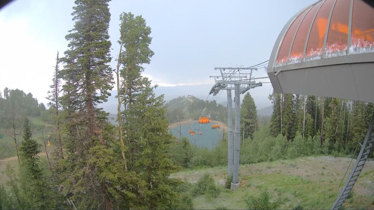
Photo caption: Hail collects on the orange canopy of the Orange Bubble Express at Park City Mountain as a severe thunderstorm moves through the area Thursday afternoon. Photo: Park City Mountain
PARK CITY, Utah — Severe thunderstorm warning for Park City until 4:15 p.m. as storm packs 60 mph gusts, quarter-size hail.
The National Weather Service in Salt Lake City issued a severe thunderstorm warning for southwestern Summit County, including Park City, in effect until 4:15 p.m. Thursday.
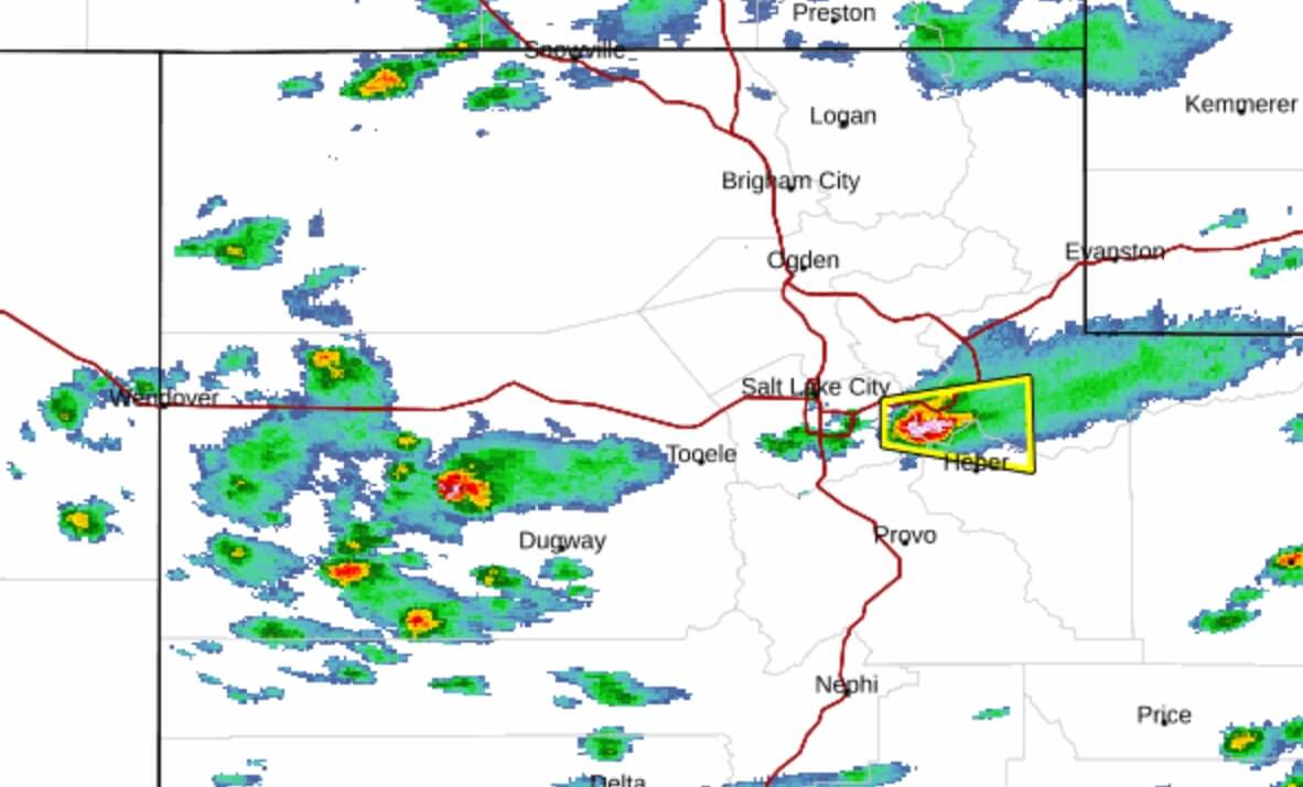
As of 3:40 p.m., the storm was located near Big Cottonwood Canyon, about 7 miles west of Park City, moving east at 20 mph. Forecasters warn of 60 mph wind gusts and quarter-size hail, with hail damage to vehicles expected along with possible wind damage to roofs, siding, and trees.
Hail was already coming down at the top of the Orange Bubble Express lift at Park City Mountain as the storm moved in.
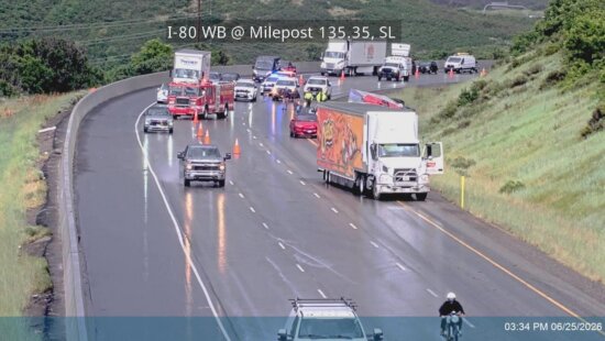
Other locations in the warning area include Kimball Junction, Snyderville, Summit Park, Kamas, Oakley, Francis, and Wanship, along with stretches of Interstate 80, US Route 40, and the Mirror Lake Highway.
The NWS advises moving to an interior room on the lowest floor of a building. Torrential rainfall may lead to flash flooding, so do not drive through flooded roadways.
Share your weather photos and videos with tips@townlift.com for a chance to be featured.
By: TownLift

2400 E Walker Lane
Holladay, UT 84117
137 W Bridlewood Lane
Midway, UT 84049
2154 S Rio Verde
Moab, UT 84532
2475 W White Pine Lane
Park City, UT 84060Talk of the Town


Park City Jobs

Sommet Blanc Senior Technician, Diversified Property Services
1 day ago Full time
Resident Manager - Empire Residences, Diversified Property Services
1 day ago Full time $60,000 - $65,000 yearly
Chiropractic Front Desk/Therapy Assistant, Lundstrom Chiropractic
4 days ago Part time $21.50 hourly
Maintenance Tech, Park City Rental Properties
5 days ago Full time $22.00 - $25.00 hourly

Love Fashion, Creativity & Artisan Goods? Join the Blue Sky Nomads Team, Blue Sky Nomads
8 days ago Part time $18.00 - $25.00 hourly