News
Snow is on its way
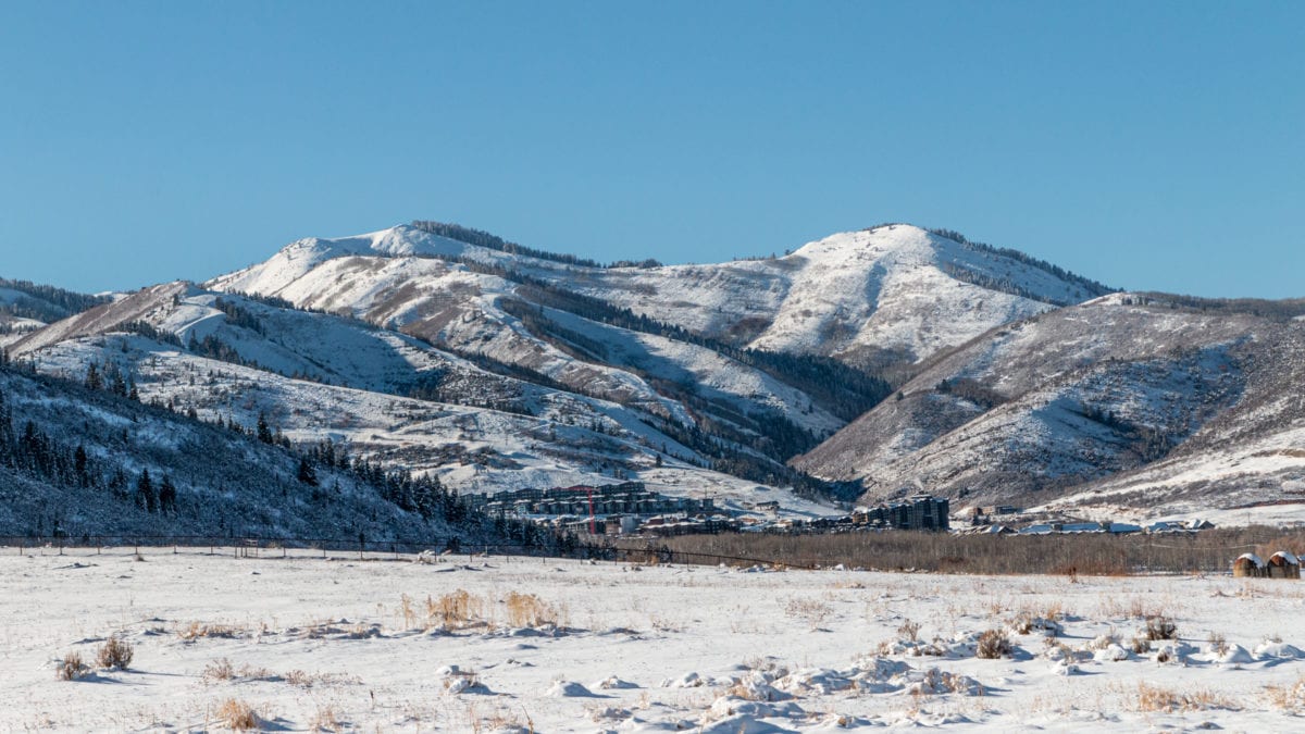
A view of the Canyons side of Park City Mountain, November 2020. Photo: TownLift // Bailey Edelstein
PARK CITY, Utah — The National Weather Service (NWS) said that winter conditions can be expected Friday night into Saturday across Utah’s higher terrain.
Accumulating snow is expected in areas above 8,500 feet on Friday night.
NWS said to expect winter driving conditions on high elevation seasonal routes such as Monte Cristo and Mirror Lake Highway.
Those with outdoor plans including hunters and hikers should be prepared for winter conditions, with cold temperatures and accumulating snow.
A winter weather advisory is in effect until 6 pm on Saturday for areas above 9000 feet — 4 to 8 inches are expected with locally higher amounts.
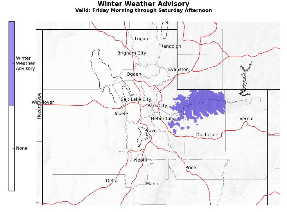
“Colder air spreading into the area early Saturday will lower the snow level to around 7500 feet across northern Utah, allowing for accumulating snowfall across the higher elevations,” NWS said in a report.
“A colder storm system will impact the outlook area during the first half of next week, bringing the potential for significant mountain snowfall, as well as lowering snow levels to the benches. Freezing overnight temperatures are expected across most valleys excluding the St George area beginning Monday night, and continuing through much of the week.”
Park City’s forecast for the days ahead:
By: TownLift

8905 Parleys Lane
Park City, UT 84098
2075 E Munsey Drive
Moab, UT 84532
1511 S Valley View Circle
Springville, UT 84663
371 N Pinion Hills Drive
Dammeron Valley, UT 84783Talk of the Town


Park City Jobs
Property Inspector, Park City Rental Properties
2 days ago Full time $23.00 hourly

Junction Commons Retail Openings, Junction Commons
2 days ago Part time $16.00 - $22.00 hourly

Accounting & Office Administrator, Canyons Village Management Association
5 days ago Full time $65,000 - $70,000 yearly

Operations Houskeeping Manager - Year Round, Casago
6 days ago Full time $19.00 - $23.00 hourly

Property Manager, Mountain Estates Property Management
7 days ago Full time