News
Great Salt Lake drops to new historic low
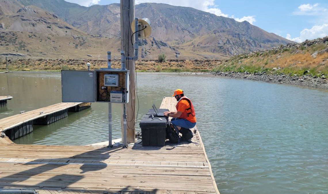
USGS hydrologic technician Travis Gibson confirms Great Salt Lake water levels at the SaltAire gauge. Photo: Andrew Freel, U.S. Geological Survey.
SALT LAKE CITY, Utah — The Great Salt Lake’s elevation fell to 4,191.3 feet on Saturday, a new record low according to the U.S. Geological Survey (USGS).
“Based on current trends and historical data, the USGS anticipates water levels may decline an additional foot over the next several months,” said USGS Utah Water Science Center data chief Ryan Rowland. “This information is critical in helping resource managers make informed decisions on Great Salt Lake resources. You can’t manage what you don’t measure.”
The average daily water levels are about an inch below the previous record set in 1963. The USGS maintains records for the lake going back to 1847, the year the pioneers arrived in Salt Lake Valley.
It is the largest saltwater lake in the Western Hemisphere.
The lake is fed by the Bear, Weber, and Jordan rivers. Streamflow levels across Utah are being hit hard by the drought, as a majority are reporting below-normal flows.
By: Parker Malatesta

597 Deer Valley Loop Road
Park City, UT 84060
137 W Bridlewood Lane
Midway, UT 84049
2475 W White Pine Lane
Park City, UT 84060
2154 S Rio Verde
Moab, UT 84532
2400 E Walker Lane
Holladay, UT 84117Talk of the Town


Park City Jobs

Chef de Cuisine, Washington School House Hotel
1 day ago Full time $50,000 - $60,000 yearly
Housekeeper, Washington School House Hotel
1 day ago Full time $20.00 - $22.00 hourly
Line Cook, Washington School House Hotel
1 day ago Full time $20.00 - $22.00 hourly
Ski Patrol Medical & Rescue Technician, Utah Olympic Park
2 days ago Full time $22.00 hourly
Full or Part Time Dishwasher/Prep Cook, Rebekah's Kitchen
4 days ago Part time $13.00 - $18.00 hourly