Weather
Winter storm could bring up to a foot of snow to mountains Thursday and Friday
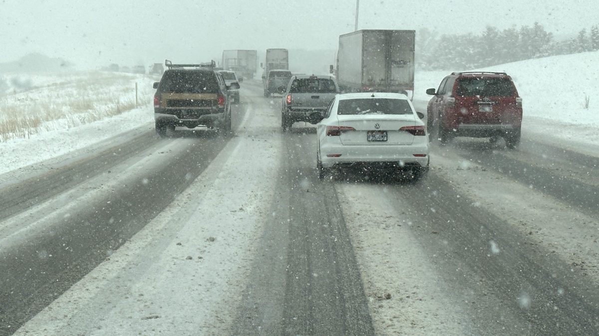
Driving on I-80 between Parleys and Kimball Junction. Photo: TownLift // Kevin Cody
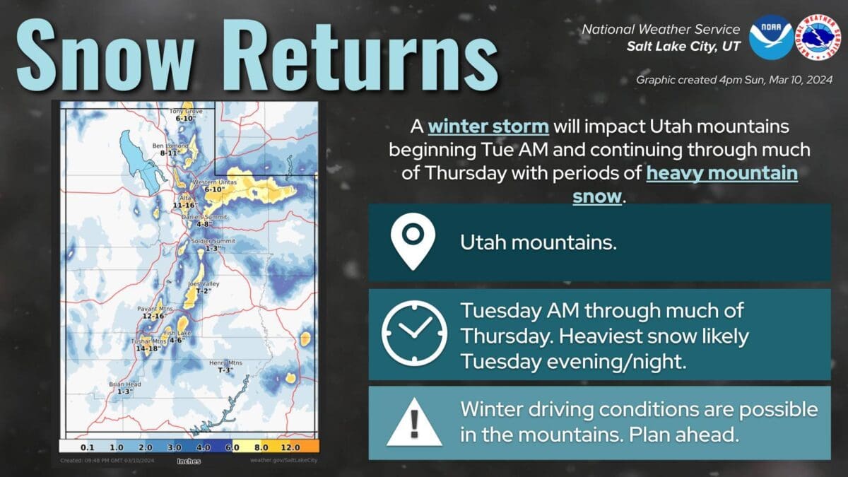
PARK CITY, Utah — Widespread snow will begin midday Thursday through early Friday, with expected accumulations of 6-12 inches in the northern mountains and higher amounts of up to 18 inches in the central Wasatch mountains, according to the National Weather Service.
According to the Utah Department of Transportation, valley routes will start with a rain and snow mix before transitioning to snow by Friday morning. Winter road impacts are expected Friday morning along the I-15 corridor. This winter storm is expected to present a minor risk, meaning that it should have limited impacts on transportation.
“The heavier valley snowfall will taper off through Friday morning, though a few snow showers are likely to linger into the afternoon, especially along the Wasatch Front, near Cove Fort, and in the vicinity of taller mountains,” said a road weather alert from UDOT.
According to UDOT, the following routes will experience weather-related travel concerns during the forecast period:
- I-15, ID Border to Black Ridge
- I-70, I-15 Jct. thru Richfield to SR-10 Jct., Harley Dome near the CO Border
- I-80, entire route except the Salt Flats
- I-84, entire route
- US-6, Eureka through Soldiers Summit to Price
- US-40, entire route
- US-89, ID Border to Kanab
- US-191, WY border through the Uinta Basin to US-6 Jct.; La Sal Jct. to Blanding
- SR-31, entire route
- US-189, Provo Canyon
- SR-92, American Fork Canyon-SR-190,
- Big Cottonwood Canyon
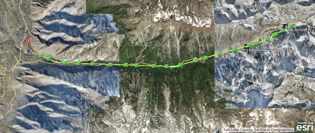
- SR-210, Little Cottonwood Canyon
UDOT encourages drivers to use caution and be aware that traction laws may be enforced.
Ashtyn Asay

1068 W Shoreline Dr
Layton, UT 840417566 E Ponderosa Dr
Huntsville, UT 843173137 East George White Road
Moab, UT 845322600 N 1200 West, Suite 6
Lehi, UT 840434536 N Painted Sky Drive
St. George, UT 847707948 Red Tail Court
Park City, UT 84060Talk of the Town


Park City Jobs
Product Assembly, Adaptive Design Group Inc.
Today Part time
Summer Concert Staff, Park City Institute
5 days ago Contractor $25.00 - $35.00 hourly
Office Administrator, Park City Soccer Club
7 days ago Part time $21.00 - $23.00 hourly

Community Liaison & Administrative Assistant to the General Manager, K&K Property Management
20 days ago Full time $20.00 - $23.00 hourly

Park City Gardens is hiring for the summer!, Garden Cafe at Park City Gardens
28 days ago Seasonal $17.00 - $22.00 hourly
You May Also Like
You must be logged in to post a comment.