Top Stories
Unleash your inner powderhound, heavy snowfall in forecast for Utah

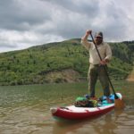
Powder loving dog named Sophie excited for even more snow. Photo: TownLift // Kevin Cody.
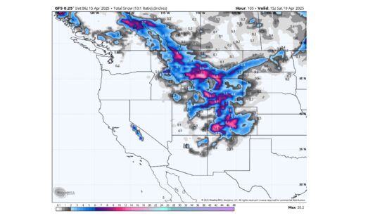
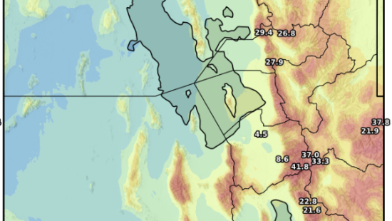
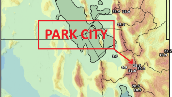
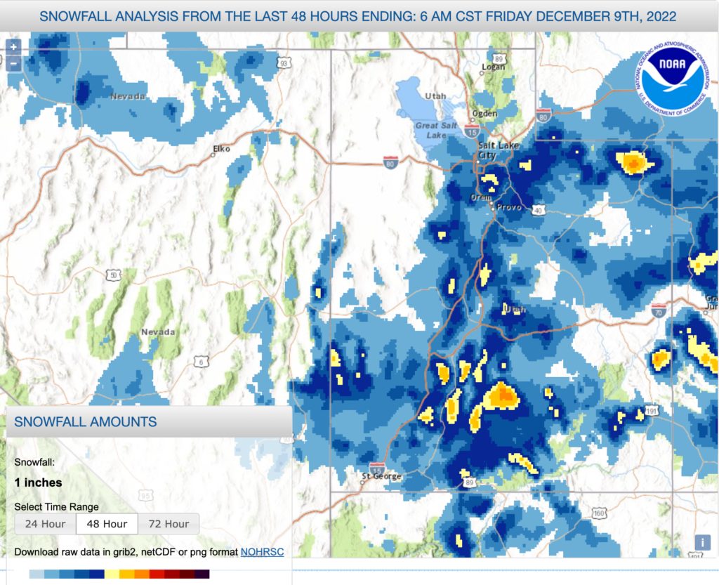
PARK CITY, Utah — Heavy snowfall is back in the forecast for Utah and the rest of the intermountain region from a series of upcoming storms, with the first chance being Saturday evening or Sunday and lasting until Tuesday morning. Utah’s accumulation could reach a foot or more of snow over the duration of four days, according to Powderchasers. A potential storm could also significantly impact later in the week.
This weekend’s storm is already starting to push on to land in Washington, Oregon, and Northern California, where heavy snow, strong winds, and cold temperatures could amount three to five feet of snow on the high end for Northern California resorts. Although Utah is not going to reach those totals, these results show the high moisture level the storm will carry as it eventually moves toward Utah.
The fresh wave of fluffy snow will be a welcome addition for Utah resorts, as the final opening day in the state will take place Saturday at Eagle Point Resort in Beaver.
Road conditions could become challenging with the heavy snowfall covering roads and limiting visibility. The U.S. National Weather Service recommends that all drivers carry a winter survival kit containing items such as tire chains, a shovel, a blanket, a flashlight, and other items.
Appreciate the coverage? Help keep Park City informed.
TownLift is powered by our community. If you value independent, local news that keeps Park City connected and in the know, consider supporting our newsroom.
By: Kevin Cody

1545 N Red Castle Circle
Heber City, UT 84032
2304 N Cohonina Trail
St. George, UT 84770
1042 W Shoreline Drive
Layton, UT 84041
760 E Edgehill Rd
Salt Lake City, UT 84103
3764 Prickly Pear Circle, Unit 5-A6
Moab, UT 84532Talk of the Town


Park City Jobs
Senior Development Manager, Park City Education Foundation
3 days ago Full time $70,000 yearly
Development Associate, Park City Education Foundation
3 days ago Full time $46,000 yearly
Stio Mountain Studio Associate Manager, Stio
4 days ago Full time $50,000 - $60,000 yearly
Pharmacist, Alpine Apothecary
7 days ago Part time

Dental Assistant, Rise Dental Wellness
8 days ago Part time