Top Stories
More snow in the forecast for the Wasatch with some areas receiving rain as temperatures fluctuate
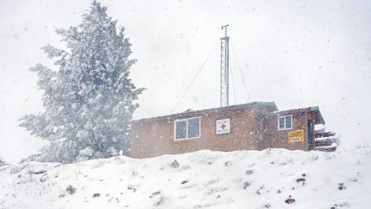
Bald Mountain Ski Patrol Hut at Deer Valley Resort Photo: TownLift // Kevin Cody
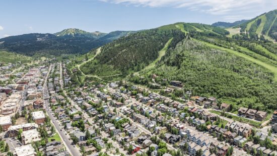
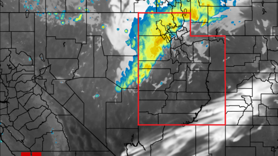
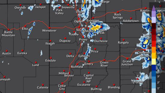
PARK CITY, Utah — Utah received quite a bit of snow from Wednesday’s storm, with the Cottonwoods and Park City continuing what has become a great start to the snow season. Another upcoming storm will start with snowy conditions through much of the Wasatch, but warmer temperatures are forecasted to push the snow toward 7,000 feet and higher before cooling down again Saturday night, according to PowderChasers.
With the potential for moisture to move further south on Sunday, chances for moderate levels of snow increase for both the Cottonwoods and Park City, with mid to upper elevations being the most likely recipient.
The mixed weather and the likelihood of denser snow in the area could bring increased avalanche danger. See the Utah Avalanche Center’s forecast page for more information regarding avalanche risk forecasts and advice on what to watch for in the backcountry.
By: Kevin Cody

4539 S Willow Road
Holladay, UT 84117
965 Goshen Canyon Road
Mona, UT 84645
10584 Basin Canyon Road
Park City, UT 84098
24 South 600 East
Salt Lake City, UT 84102
19 East 100 North
Spring City, UT 84662Talk of the Town


Park City Jobs

Assistant Manager, LOMA
4 days ago Full time $35.00 hourly
Property Inspector, Park City Rental Properties
5 days ago Full time $23.00 - $25.00 hourly
Owner Relations Manager, Park City Rental Properties
5 days ago Full time
Operations Manager, Park City Rental Properties
5 days ago Full time

Hiring Barista Assistants and Baristas, Silver King Coffee
7 days ago Part time $17.00 - $30.00 hourly