Weather
Big snowfall forecasted, increasing resorts’ already above-average snowpack
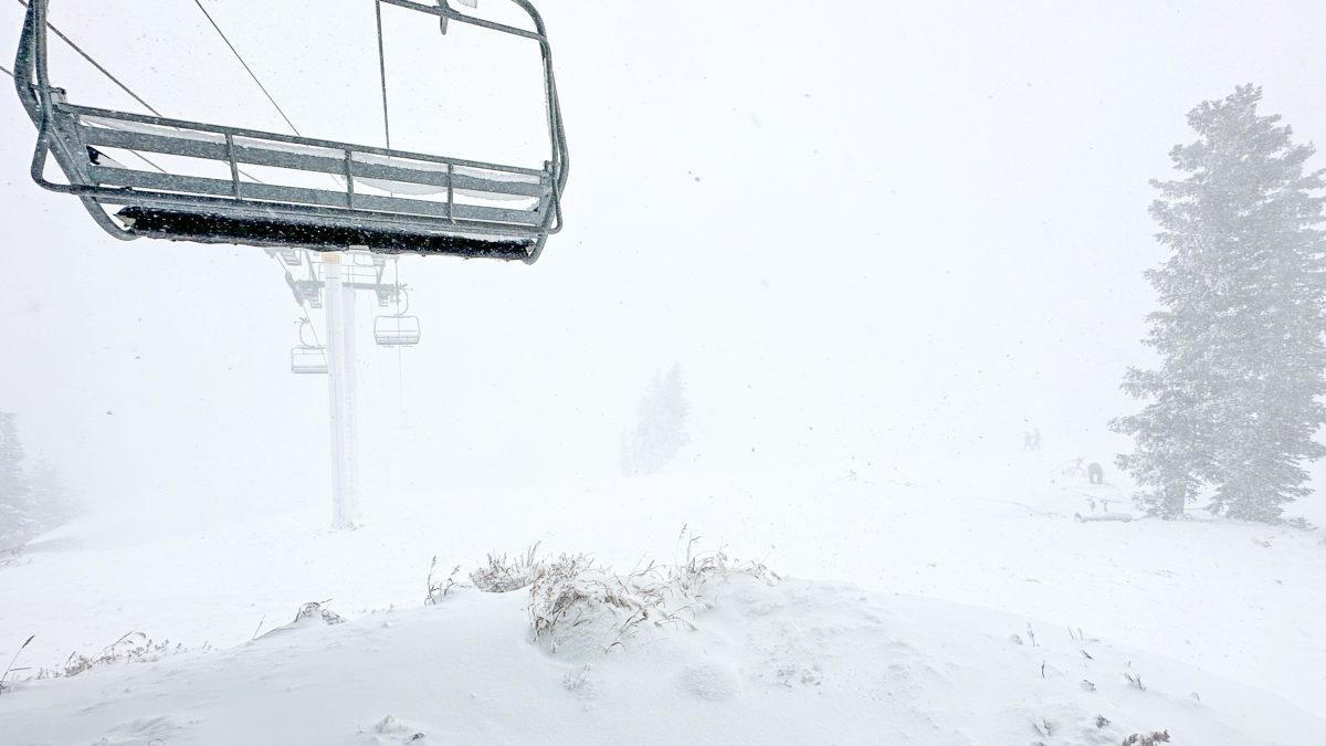
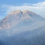
Winter Storm from top of Bald Mountain at Deer Valley Resort Photo: TownLift // Kevin Cody
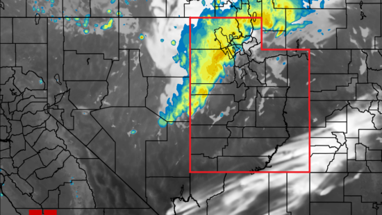
Attention Summit County: A Winter Storm Warning is in effect until 11 a.m. Thursday
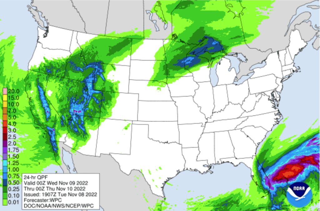
PARK CITY, Utah — The monster winter storm on its way to Utah is forecasted to provide the footprint for many ski resorts across the west to open with a head start on their snowpack. In a typical year, a resort’s snow base is just starting to build at this point, but with the early winter storms, it’s fair to say that Utah and the rest of the Intermountain West have totals well above average, according to Powderchasers.
Forecasts for Utah continue to look more favorable, thanks to the expected path of the storm. The path is predicted to move inland from California into the state from the southwest and push northeast. Even if the storm isn’t supposed to stay over the area as long as the Sierras, which could receive as much as 5-6 feet at the highest elevations, significant snowfall for the Wasatch is expected.
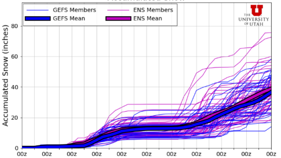
Current projections have the initial wave bringing 8-12 inches of snow to the Cottonwoods. Resorts with a southward-facing slope, such as Deer Valley and Brighton, will likely receive the most moisture from the storm. Sometime early in the morning on Wednesday, a cold front will move in, allowing for even more snow to land producing another 8-12 inches in places, making the potential total from this storm to be between 16 and 24 inches of snow.
HIGH avalanche danger with 20″ at Deer Valley and 18″ at Park City Mountain
By: Kevin Cody

597 Deer Valley Loop Road
Park City, UT 84060
2475 W White Pine Lane
Park City, UT 84060
137 W Bridlewood Lane
Midway, UT 84049
2400 E Walker Lane
Holladay, UT 84117
2154 S Rio Verde
Moab, UT 84532Talk of the Town


Park City Jobs

Architect/Architectural Designer, Vera Iconica Architecture
1 day ago Full time $60,000 - $95,000 yearly

Assistant Pit Master, Lush's BBQ
1 day ago Part time $20.00 - $25.00 hourly

Chef de Cuisine, Washington School House Hotel
2 days ago Full time $50,000 - $60,000 yearly
Housekeeper, Washington School House Hotel
2 days ago Full time $20.00 - $22.00 hourly