Weather
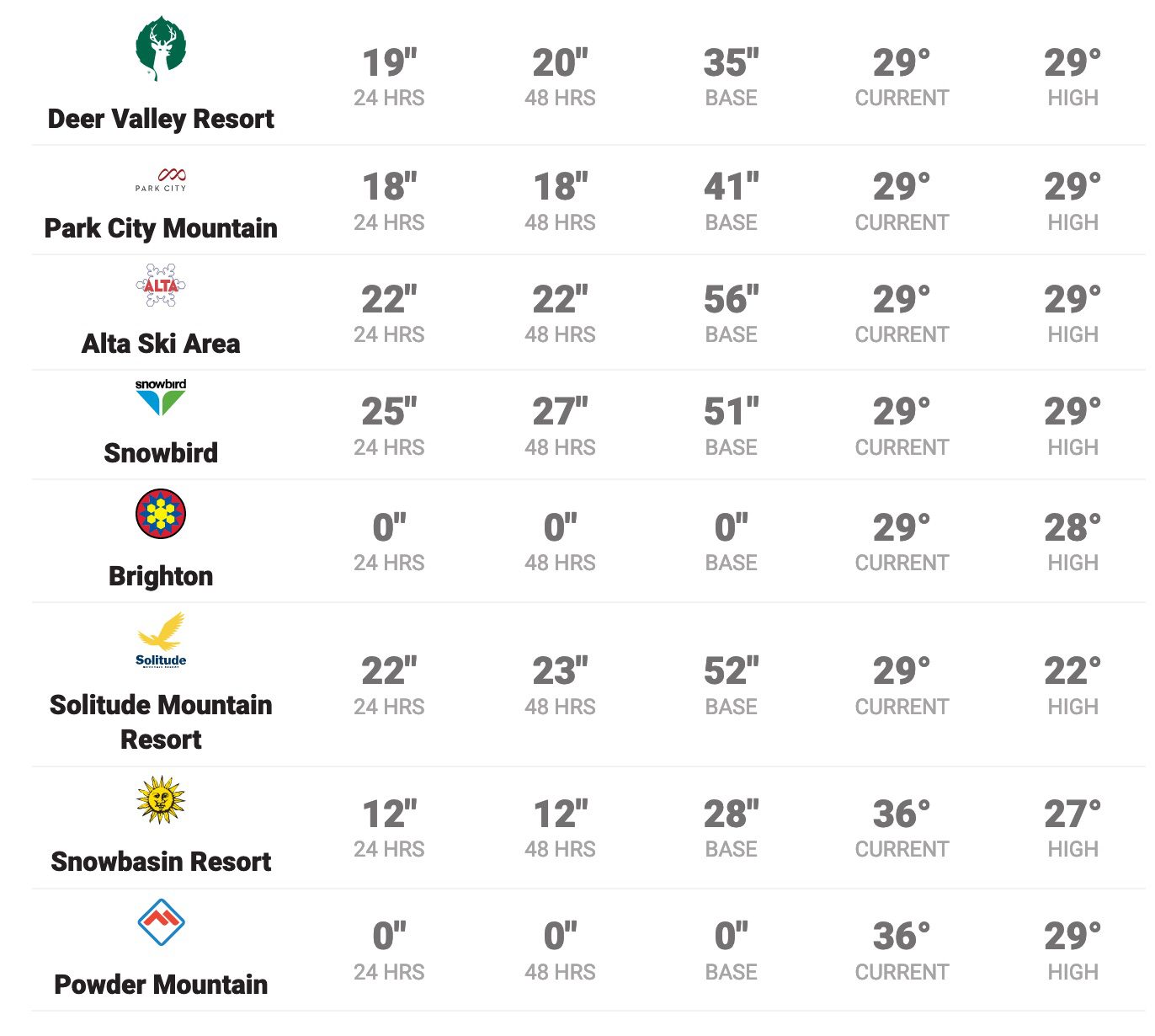
HIGH avalanche danger with 20″ at Deer Valley and 18″ at Park City Mountain
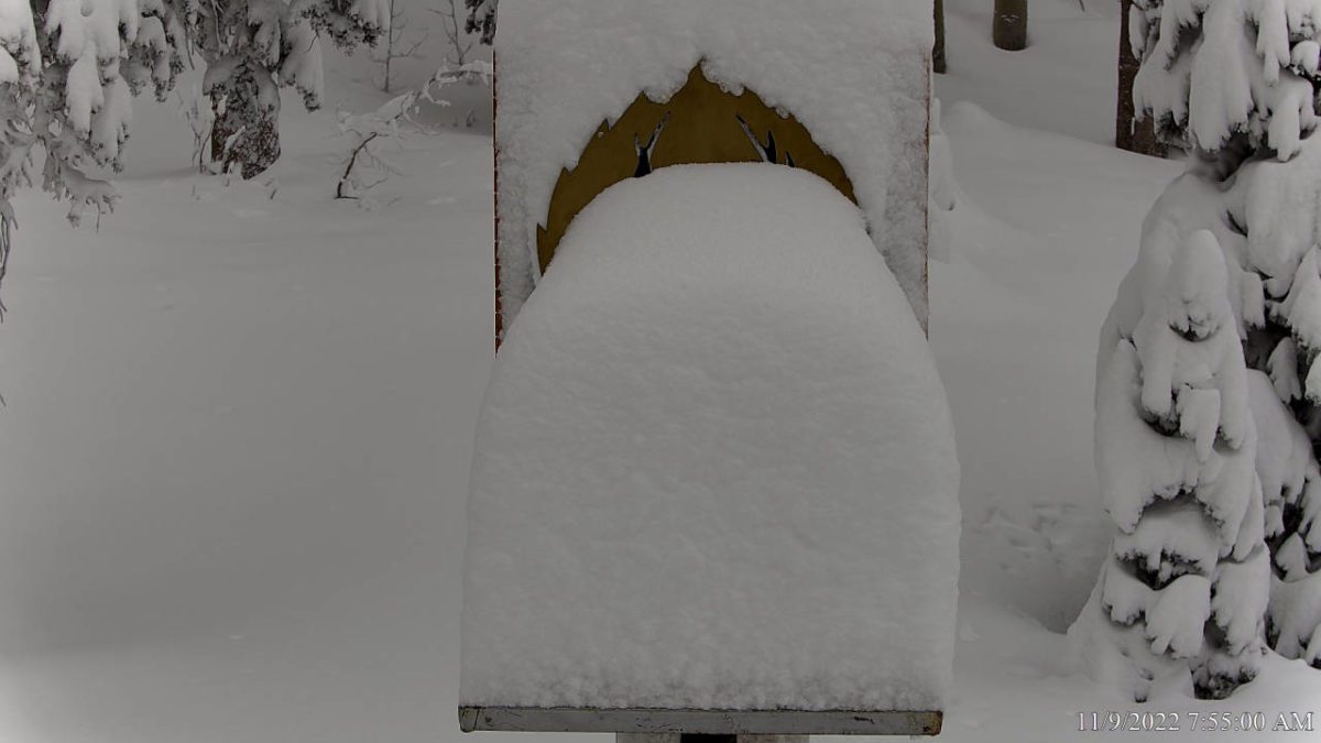
Photo: Deer Valley Snowstake
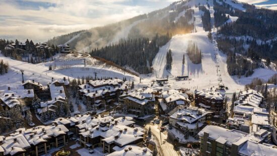
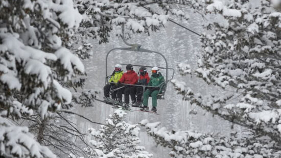
PARK CITY, Utah — WOW, another double-digit storm has delivered the goods to Park City mountains. All this early-season snow has caused the Utah Avalanche Center to issue a HIGH avalanche danger rating at mid and upper elevations for today. Deer Valley reports 20″ in the last 48 hours, and Park City Mountain shows 18″. Snowbird takes the cake, with 27″ of snow reported in the previous 48 hours.
The Utah Avalanche Center issued today’s report warning, “In most places, the snowpack has more than doubled, and there are many ways for avalanches to break today. There is simply a lot of very heavy new snow containing a lot of water combined with strong south winds blowing for the last 48 hours. At low elevations, there was rain before temperatures cooled,” and is urging skiers and riders to give the snowpack time to adjust to these rapid changes.
View this post on Instagram
Read the full report: Utah Avalanche Center.
TownLift Park City Snow & Weather Report Dashboard.
Appreciate the coverage? Help keep Park City informed.
TownLift is powered by our community. If you value independent, local news that keeps Park City connected and in the know, consider supporting our newsroom.
By: TownLift

6110 E Blue Wing Loop
Kamas, UT 84036
3764 Prickly Pear Circle, Unit 5-A6
Moab, UT 84532
760 E Edgehill Rd
Salt Lake City, UT 84103
1545 N Red Castle Circle
Heber City, UT 84032
1042 W Shoreline Drive
Layton, UT 84041
2304 N Cohonina Trail
St. George, UT 84770Talk of the Town


Park City Jobs

Digital Marketing Associate, Park City Community Foundation
Today Contractor $24.00 - $27.00 hourly

Equestrian Stall Cleaner/Feed - EVENINGS, Part-time, SkyRidge
1 day ago Part time $22.00 hourly
Barista/ Cashier, chomp donuts
2 days ago Full time $17.00 - $25.00 hourly
Pastry chef/ Donut Chef, chomp donuts
2 days ago Full time $55,000 - $75,000 yearly
Donut chef/ maker, chomp donuts
2 days ago Full time $17.00 - $24.00 hourly