News
Call for Public Feedback on Kimball Jct. Traffic Solutions
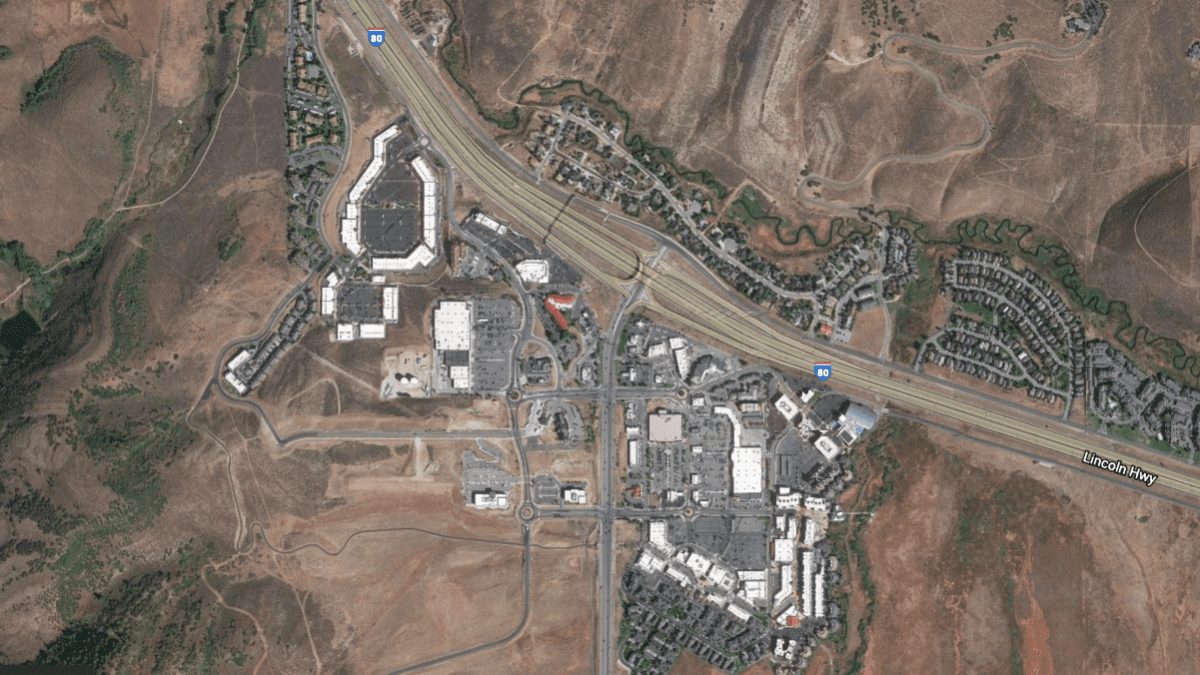
A bird's eye view of Kimball Jct. in Park City, Utah. Photo: Courtesy of Google Earth
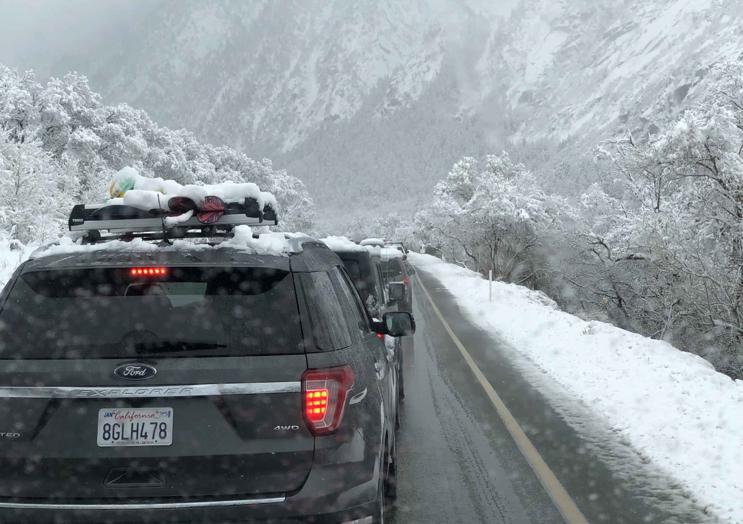
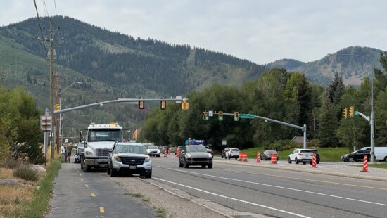
PARK CITY, Utah. — The traffic that develops off I-80 exit 145 into Park City and feeds into the Kimball Junction commercial, residential and recreational cluster during rush hour causes accidents and miles-long backups year-round. The congested interchange is en route to being improved, but motorists shouldn’t hold their breath for a quick fix. There are multiple steps to take at the city, county, and state levels before any construction begins.
Summit County, Park City, and the Utah Department of Transportation (UDOT) have extended the deadline to Feb. 12 for public input on this project, which aims not just to reduce traffic and improve safety but also address future growth in the area. More than 900 people have completed the public input survey so far, and UDOT officials said public feedback is critical to developing the best solution.
The survey details four alternatives for people to consider. According to UDOT, the survey takes ten minutes to complete, and responses will be factored into conversations had by county and city councils as they move forward in the process. So far, negative sentiment by members of the county council and environmentalists surround Alternative 2, which cuts through preserved open space near Kilby Road.
Alternative 4 looks like the most feasible financially, as it is comprised of a series of shorter-term solutions that can tie into a larger and costlier but more sustainable project like Alternative 3 in the future. (Alternative 3 involves building an underpass for SR 224 to run beneath the existing intersections of Olympic Pkwy. and Ute Blvd.)
An overview of each alternative:
Alternative 1
Traffic traveling I-80 into and out of Park City is not necessarily heading for Historic Park City’s Main Street or its ski areas. UDOT research found that roughly 50 percent of the Kimball Junction area traffic is routed toward the Redstone shopping centers or other shopping plazas, including Tanger Outlets and Walmart. This alternative would provide direct access to Kimball Junction through a new concept for the interchange.
“It would convert the existing SR 224, what they call a ‘single point urban interchange’ into a ‘tight diamond interchange with U-Turn movements’,” said Courtney Samuel, senior communications manager for UDOT. “This is a common design seen in Salt Lake Valley where there’s limited capacity at a ramp.”


The goal? To move extra traffic off SR 224 and funnel it to new one-way frontage roads (see map) west of the Park City I-80 interchange, letting shoppers, residents, and recreationists avoid the Kimball cluster by exiting early. The East half of this proposed plan (see map) includes pedestrian tunnels under Ute Blvd. and the widening of the southbound and northbound lanes to Ute Blvd. and Olympic Parkway.
Alternative 2
This would allow public transit and high occupancy vehicles (HOV) with two or more passengers to bypass Kimball Jct. by exiting earlier near the Ecker Hill Park and Ride and onto Kilby Rd., the existing frontage road (see map below for reference).

According to Samuel, a UDOT traffic survey found that 20 percent of traffic comes from HOV and public bus transit during peak morning and afternoon travel hours. The goal of this alternative, he said, is to improve traffic and ease congestion in the Park City offramp area by re-routing vehicles alongside Kilby Rd. However, this would cut through conserved open space at the Hi-Ute Ranch. Utah Open Lands, the non-profit that secured 163 acres of this property as protected open space in 2005, opposes this alternative. Executive Director of Utah Open Lands Wendy Wright said cutting through a conservation easement and breaking up part of the Millennium Trail until it is rebuilt again as a tunnel or bridge is not worth exploring.
“UDOT needs to hear resoundingly: ‘No, you’ve got to take this [alternative] off the table.’ It has consequences for other open spaces,” Wright said. “This is not the first open space they’re going to look at. So we need to tell them now for all future open spaces and all open spaces that we’ve protected: ‘Hands off.’”
UDOT is well aware of this option’s unpopularity with the Summit County Council and organizations like Utah Open Lands. Samuel said UDOT recognizes how important public transit is to Park City’s and Summit County’s broader transportation plans, and knows that park and ride and public transportation options need to remain reliable and convenient; this alternative was one possibility to help the city and county stay true to that mission.
Alternative 3
According to Samuel, this option has garnered the most interest among council and the public so far. It involves depressing SR 224 – digging down underneath the existing Ute Blvd. and Olympic Pkwy. intersections that currently carry traffic from one side of shopping plazas (i.e. the road to the Olympic Park or Walmart) to another (i.e. the State Liquor Store, Smith’s, and Home Goods). This road depression is not quite a tunnel, but more of an underpass beneath existing intersections. Samuel added that UDOT believes this option would be visually appealing because it goes under existing roads, not up and over.
Essentially, those exiting I-80 with the intention of going downtown to Park City’s Main Street or ski areas would travel under the cross streets of Ute Blvd. and the Olympic Pkwy. Motorists exiting I-80 heading to Kimball Junction destinations would be funneled on each side of 224 through frontage roads (see map). This also lets travelers utilize the Park and Ride next to the Summit County Library and Transit Center, further decreasing traffic congestion.
Alternative 4
This is a sort of stop-gap solution, or as Samuel said, a “phased implementation of short term solutions,” that could help ease congestion in the area and be incorporated into a more complex (and costlier) long-term solution in the future. It’s comprised of smaller projects (see map and illustration) such as pedestrian tunnels, expanding I-80 off-ramps and widening intersections to Olympic Parkway and Ute Blvd. and is projected to be less expensive, especially if UDOT, Summit County, and Park City can agree upon what they can build and fund together.
Next steps
After the state, county and city review the public’s input, one of these alternatives will be explored further in the form of an Environmental Impact Statement (EIS).
“UDOT follows the environmental process to select the preferred alternative, which will not be reached as part of this study but in a future environmental study,” Samuel said.
Funding needs to be secured to even get to conduct an EIS, which helps identify to key decision-makers what the impact of these projects would be on the environment and discloses any harm to the natural area that may take place should a project move forward.
By: Bailey Edelstein

2410 W Entrada Trail, Unit #4
St. George, UT 84770
1011 E Mill Road
Heber City, UT 84032
4739 W Snowflake Drive
Highland, UT 84003
950 S Aspen Circle
Woodland Hills, UT 84653Talk of the Town


Park City Jobs

Marketing Manager, Junction Commons
4 days ago Full time
LEAD BARTENDER, VR Inc
4 days ago Full time $21.00 - $22.00 hourly
Venue & Event Coordinator (Kimball Arts Festival VIP Lounge), Kimball Art Center
11 days ago Seasonal $20.00 - $22.50 hourly

Summer Garden Educator and Counselor, Summit Community Gardens and EATS
12 days ago Seasonal $19.00 - $20.00 hourly

Job Fair May 26 2026, Grand Hyatt Deer Valley
13 days ago Full time