Flood watch remains in effect as rain turns to over a foot of mountain snow

Wasatch Back included in flood watch through Monday afternoon as colder air brings snow to Utah’s higher elevations
PARK CITY, Utah — A prolonged stretch of rain across northern Utah is expected to give way to mountain snow as colder air moves into the region Monday night. At the same time, the Wasatch Back remains under a flood watch through Monday afternoon.
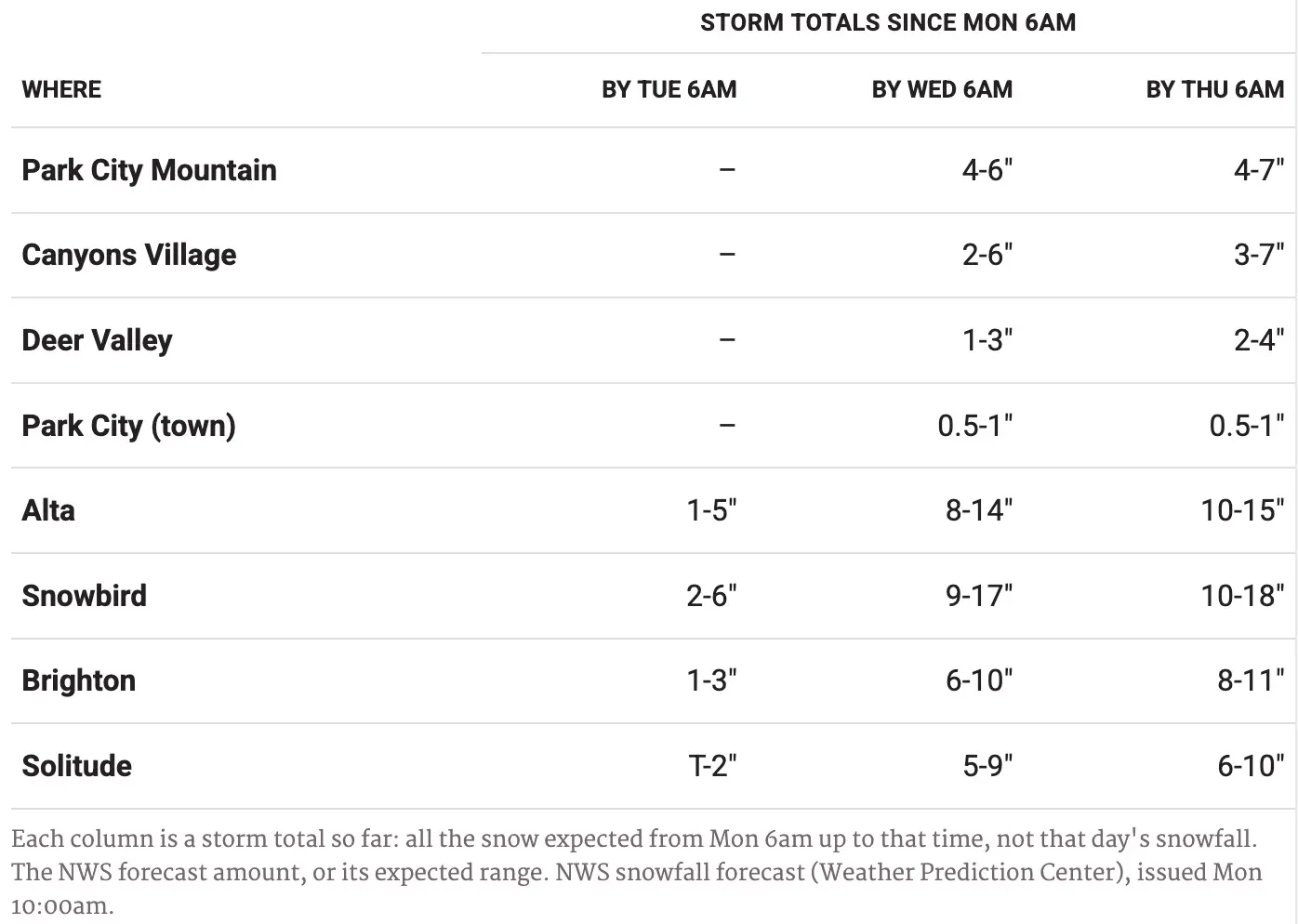
TownLift’s new Park City Snow Report including totals for Little & Big Cottonwood canyon’s through Thursday.
The National Weather Service in Salt Lake City said the flood watch remains in effect until 6 p.m. Monday for much of northern Utah, including the Wasatch Back, Wasatch Mountains and western Uinta Mountains. Park City is among the communities included in the watch.
The National Weather Service said excessive runoff could cause flooding along rivers, creeks and streams, as well as in urban areas, areas with poor drainage and recent burn scars, including the Rocky Canyon burn scar.
Moisture associated with the remnants of Tropical Storm Rachel has contributed to the prolonged rainfall, according to the National Weather Service. The agency said the moisture is interacting with a frontal boundary across northern Utah, creating the potential for locally heavier rainfall and broader flooding.
As the storm continues, attention is also turning to snow.
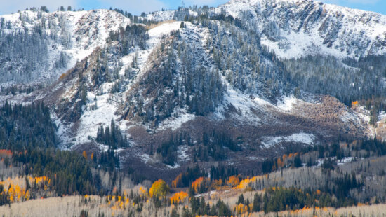
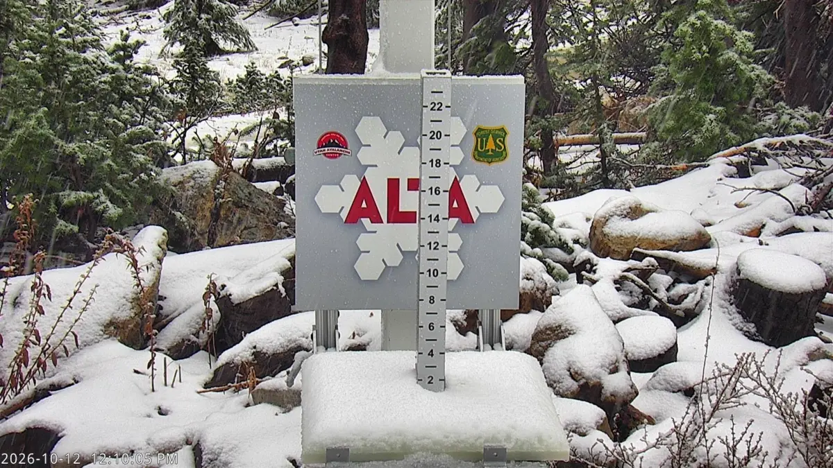
Meteorologist Chase Thomason said Monday that colder air moving into Utah could lower snow levels to roughly 7,000 to 8,000 feet late Monday into Tuesday. Thomason said several inches of snow are possible above 8,000 feet, with roughly 4 to 12 inches possible in the Wasatch Mountains and 1 to 2 feet possible in portions of the Uinta Mountains through Wednesday.
The National Weather Service is somewhat more conservative on snow levels early in the transition. Its Salt Lake City office said Monday morning that colder air should turn rain to snow above about 9,000 feet by Monday night, with snow accumulation expected across the higher mountains through Wednesday. The agency warned that snow could affect travel on high-elevation seasonal roads.
In the western Uinta Mountains, including the Mirror Lake Highway area, the National Weather Service forecast 2 to 4 inches of accumulation Monday night, followed by another 3 to 5 inches Tuesday.
Park City itself is expected to remain largely on the edge of the rain-snow transition. The National Weather Service forecasts showers Monday, with temperatures falling into the 40s, followed by rain that will turn into a rain-snow mix overnight. Snow showers are expected Tuesday, although little or no accumulation is currently forecast around the Park City point forecast near 8,000 feet.
The National Weather Service advised residents in flood-prone areas to continue monitoring forecasts and be prepared to act if flood warnings are issued.


2266 E Garfield Avenue
Salt Lake City, UT 84108