Environment
EPA weighs $20M cleanup of contaminated soil on one of Park City’s last prime developable parcels
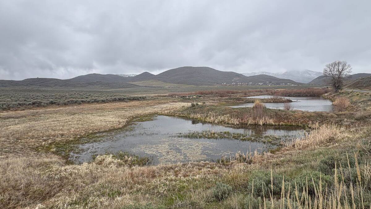
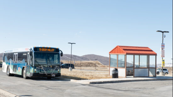
Richardson Flat site. Photo: TownLift
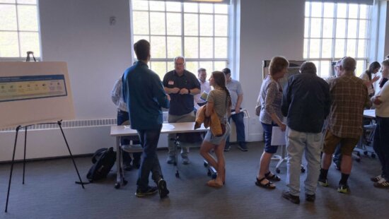
The EPA will hold a May 11 open house at the Park City Library as development pressure mounts on one of the last large parcels in the Park City entry corridor.
PARK CITY, Utah — Federal environmental officials are proposing a partial cleanup of a long-contaminated stretch of Silver Creek in Park City, citing ongoing risks to human health and wildlife from historic mining waste.
Testing shows contamination far above safe levels, with lead and arsenic measured tens to thousands of times above EPA and county limits. According to an EPA report the area’s contamination was characterized as an “Excess cancer risk from arsenic” across the floodplain.
The U.S. Environmental Protection Agency is seeking public comment on a roughly $20 million plan to remove century-old mine tailings in the Richardson Flat area, with a community open house scheduled for May 11 and a written comment deadline of June 6.
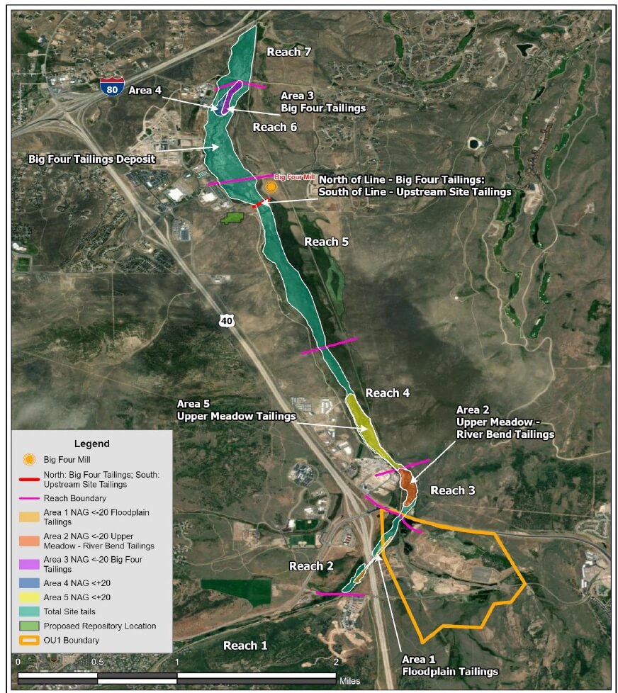
The proposal targets sections of the Richardson Flat Tailings Superfund Site, a 2,300-acre corridor running from Prospector Square north to Interstate 80. The project would focus cleanup efforts along a six-mile stretch of Silver Creek through Park City and the Snyderville Basin.
This would be the first major federal action on the creek corridor since the EPA capped the adjacent tailings impoundment beneath the Richardson Flat Park and Ride more than a decade ago.
Risks along a popular recreation corridor
The evaluation highlights potential exposure risks for recreational users in the Richardson Flat area, particularly along the Rail Trail, a heavily used biking and walking path that runs through the site.
Children and other users could be exposed to contaminated soils through direct contact or inhalation of dust, with lead identified as a primary concern.
“EPA modeling found an unacceptable probability that children recreating along the Rail Trail or in the floodplain would exceed a 5 microgram-per-deciliter blood lead level, the federal benchmark for concern,” the evaluation states.
Excess cancer risk from arsenic was also found to exceed EPA’s acceptable range, while non-cancer hazards from antimony, arsenic, cadmium, and thallium exceeded thresholds across the floodplain.
Wildlife is also impacted. The EPA found elevated risks to birds, mammals, and aquatic species, with contaminants affecting survival and reproduction.
Although there are no homes within the defined site boundaries, the report also identifies potential risks for future residents as development plans are being considered in the area.
What is driving action now
The site was first assessed in 1984 and has been proposed for the National Priorities List since 1992, but has never been formally listed.
Two factors have pushed the creek corridor work forward: a 2022 consent decree with United Park City Mines Company that established a funding source, and the EPA’s determination that “reasonably anticipated future land use” in the area is rapidly changing.
Summit County is undergoing significant residential, commercial, and light-industrial development, the assessment notes. The agency modeled exposure not just for recreational users, but also for future residents, construction workers, and commercial tenants.
Silver Meadows development in the Richardson Flat area
The Richardson Flat area is part of a broader Silver Creek watershed cleanup corridor, where development is increasingly being evaluated alongside long-term remediation planning.
The town of Hideout and Larry H. Miller Real Estate announced in December plans to break ground on “Silver Meadows,” a 350-acre project on land annexed from Summit County after a multiyear legal dispute resolved by the Utah Supreme Court. While the site is not on the EPA’s primary tailings impoundment cleanup area, it lies within the broader Silver Creek watershed where contamination concerns have influenced how land-use regulators evaluate future development and exposure risk.
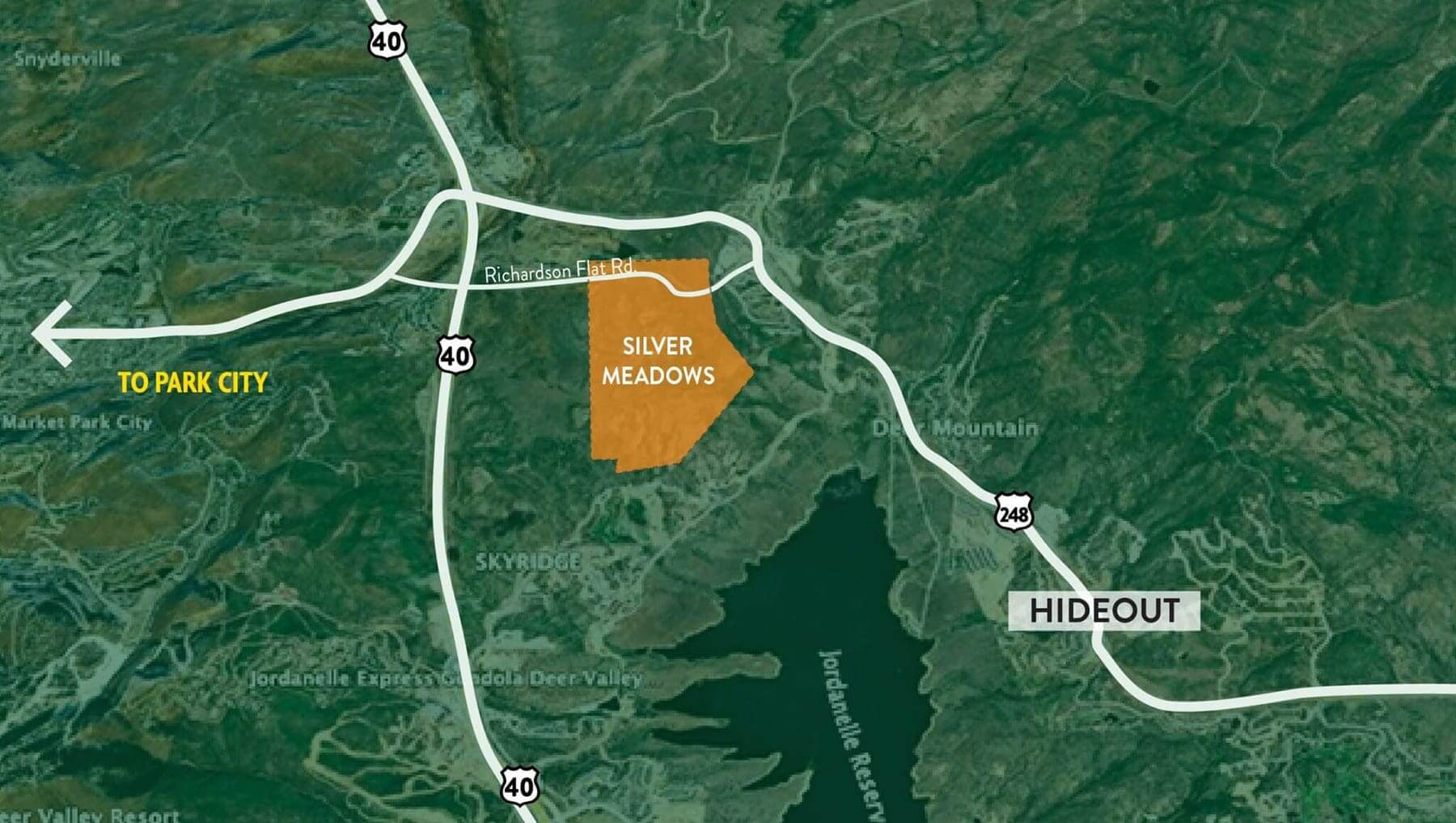
Phase one is anticipated to break ground in 2026.
The agreement also requires that the commercial center neither pollute the Silver Creek watershed nor be impacted by existing contamination, reflecting ongoing coordination with federal remediation planning in the surrounding area.
Meanwhile, Park City Municipal, which controls much of the remaining Richardson Flat area, has designated the adjacent 330-acre Clark Ranch parcel as open space and recently opened the Studio Crossing mixed-use development across U.S. 40.
How polluted the land is
Silver Creek received mine tailings for roughly 140 years, beginning in the late 1800s. Those deposits now blanket portions of the floodplain up to 1,500 feet wide and as deep as five feet, forming a continuous layer of fine, sand-like waste along a six-mile stretch of creek.
Sampling shows contamination far above natural background levels.
Arsenic in soils has been measured at up to 2,100 milligrams per kilogram — roughly 700 times higher than both the EPA industrial screening level of 3 mg/kg and Summit County’s background threshold.
Lead concentrations reach as high as 75,000 mg/kg — more than 90 times the EPA screening level of 800 mg/kg and about 3,400 times above natural background levels. Other metals, including zinc and cadmium, are also present at elevated concentrations.
As Silver Creek flows through the site, it picks up increasing amounts of heavy metals. EPA analysis shows arsenic levels increasing roughly fourfold along the corridor, cadmium ninefold, zinc 15-fold, and lead nearly 100-fold from upstream to downstream.
The tailings themselves continue to act as a source of pollution, leaching into surrounding soil and water. In many areas, the material is inhospitable to plant growth and easily eroded by wind and water, allowing contamination to spread beyond its original footprint.
Even after cleanup, some contamination is expected to persist due to upstream sources and remaining tailings.
What the plan would do
A full-scale cleanup, removing all 1.3 million cubic yards of tailings across the site is estimated to cost $78 million. That figure exceeds the roughly $17 million to $18 million currently available from the 2022 consent decree settlement.
As a result, the EPA says it is prioritizing areas where contamination is shallow, more accessible, and more likely to impact human use.
The preferred plan combines two strategies outlined in the report: targeted tailings removal in the most accessible reaches of the corridor and revegetation across the full site.
“The removal of source material is intended to be iterative, meaning that if additional funding becomes available, EPA will re-visit removing additional source material,” reads the report.
Under the preferred alternative contractors would excavate about 160,000 cubic yards of tailings from the most heavily used upper portion of the site, running parallel to the Historic Union Pacific Rail Trail between Prospector Square and the Upper Meadows area.
The work would address about 3.3 miles of the six-mile corridor and approximately 81 of the 313 acres of tailings identified in the study area. Remaining areas would be revegetated to stabilize soils and limit further exposure.
This proposed alternative is estimated to cost roughly $20 million. The EPA plans to close the funding gap by phasing work and reallocating money from related investigations.
How to weigh in
The draft EE/CA is available at www.epa.gov/superfund/richardson-flat.
Written comments are due June 6 and can be submitted to Brent Campbell, EPA Region 8 Community Involvement Coordinator, at Campbell.Brent@epa.gov or by mail to 1595 Wynkoop Street, Denver, CO 80202-1129. He can also be reached at (720) 914-9253.
An open house is scheduled for Monday, May 11, from 5:30 to 7:30 p.m. at the Park City Library community room. No registration is required.
After the comment period closes, the EPA will respond to feedback and issue a final decision in a CERCLA Action Memorandum.
By: Heather Bergeson

597 Deer Valley Loop Road
Park City, UT 84060
137 W Bridlewood Lane
Midway, UT 84049
2154 S Rio Verde
Moab, UT 84532
2475 W White Pine Lane
Park City, UT 84060
2400 E Walker Lane
Holladay, UT 84117Talk of the Town


Park City Jobs
Ski Patrol Medical & Rescue Technician, Utah Olympic Park
Today Full time $22.00 hourly
Full or Part Time Dishwasher/Prep Cook, Rebekah's Kitchen
2 days ago Part time $13.00 - $18.00 hourly

Head of Maintenance, Ptarmigan Property Services
5 days ago Full time $70,000 - $85,000 yearly