Weather
Cold front brings snow, freeze warnings to Park City and Wasatch Front
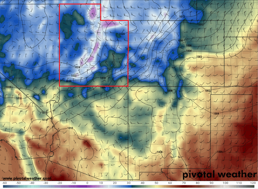
Photo: Overnight low temperature forecasts from the GFS weather model for Friday morning show temperatures as low as the teens for areas of Utah. // PivotalWeather.com
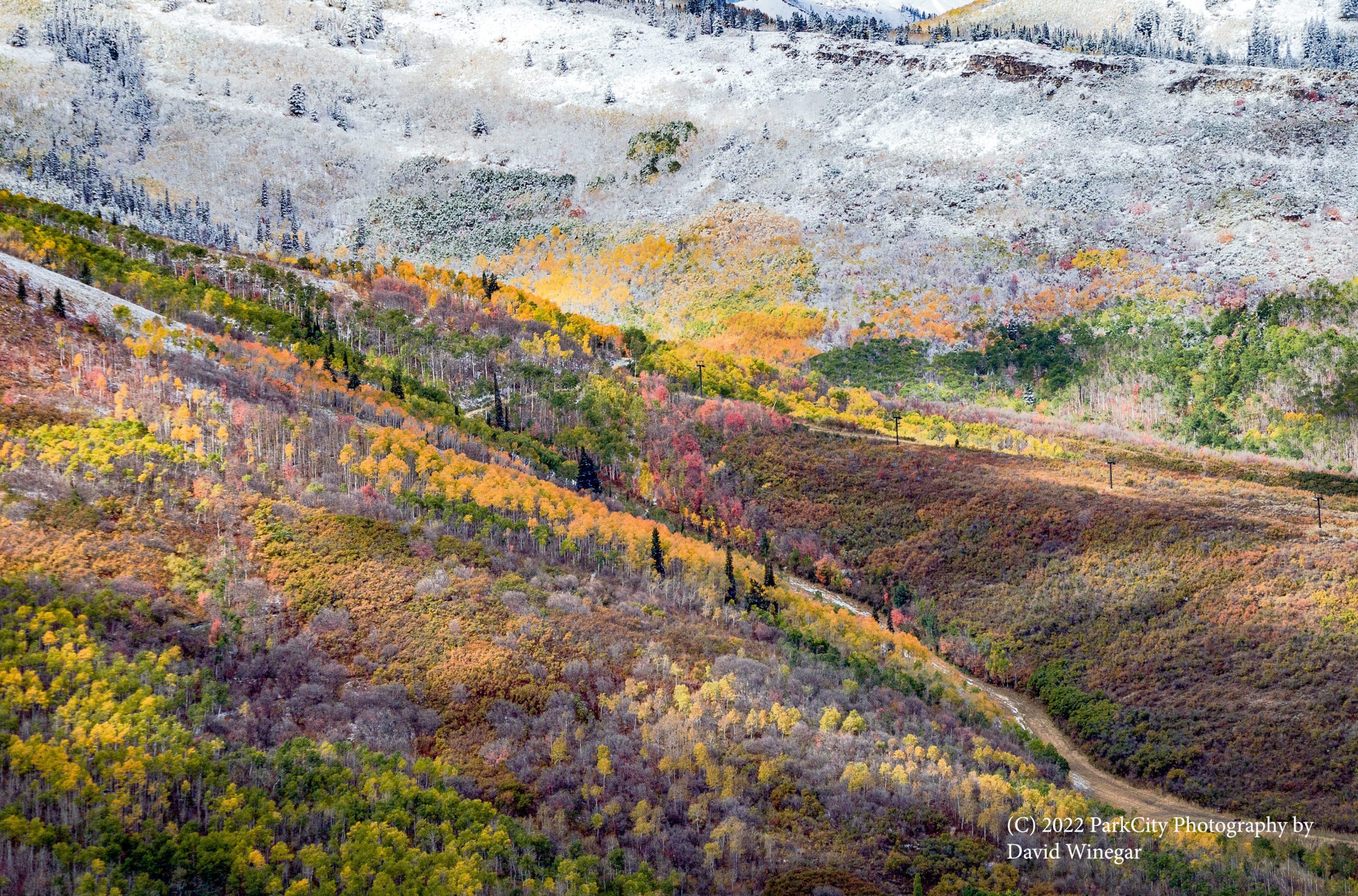
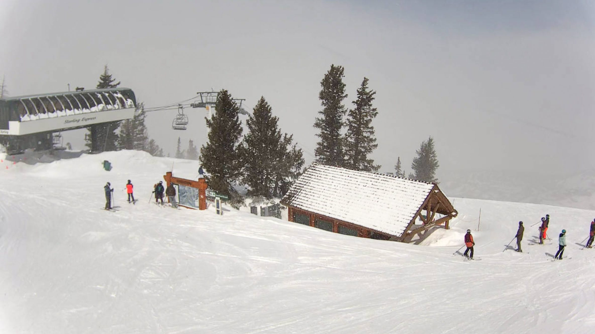
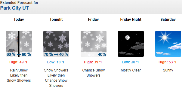
3 to 7 inches of snow are expected for the Wasatch Mountains through Friday morning with temps dipping into the 20’s and teens overnight
PARK CITY, Utah – Warm overnight temperatures are about to give way to a very cold low-pressure system making its way toward Utah. A strong cold front is expected to cross the Wasatch Front sometime around midday Thursday, dropping 3 to 7 inches of snow in the Wasatch Mountains and a chance for an inch or two in town. The Salt Lake area could also see a brief period of snowfall as well, but with little accumulation likely.
Forecast Snow Totals through Friday morning
- Cottonwood Canyons: 3 – 7″
- PC Base/Town: 1 – 2″
- SL Valley: Tr – 1″
Below freezing temperatures forecast for much of Utah
The National Weather Service – Salt Lake City office has issued freeze warnings for most low-elevation valleys throughout the state for Thursday night and Friday night as overnight lows are expected to plummet into the upper 20’s. Taking action to protect sensitive plants/crops and any irrigation that has been turned on is recommended. Park City should also expect winter-like temperatures with lows in the teens possible.
While this storm isn’t a late-season game changer by any means, any additional snowfall is welcomed at this point, and the cold temperatures should help preserve the new snowfall for a few days.
The storm is limited by less-than-optimal moisture and a quick-moving nature, but a period of northwest winds overnight into Friday morning may keep snow showers going in upper Little Cottonwood. Unfortunately, with each weather model run update the outcomes have been trending towards a dryer storm for today.
With roughly two weeks left in the season, Alta Ski Area has reported less than normal snowfall for every single month of the 2025-2026 season thus far, with only 293” of total snowfall for October 1 through April 15.

Extended Outlook
High pressure looks to build back into Utah by late Saturday and persist through at least midweek. Weather models are hinting at a closed-low type system impacting the West in the latter half of the week, although timing and confidence remains low at this time.
By: Adam Lenkowski

19 East 100 North
Spring City, UT 84662
965 Goshen Canyon Road
Mona, UT 84645
24 South 600 East
Salt Lake City, UT 84102
10584 Basin Canyon Road
Park City, UT 84098Talk of the Town


Park City Jobs

Assistant Manager, LOMA
7 days ago Full time $35.00 hourly
Property Inspector, Park City Rental Properties
8 days ago Full time $23.00 - $25.00 hourly
Owner Relations Manager, Park City Rental Properties
8 days ago Full time
Operations Manager, Park City Rental Properties
8 days ago Full time

Hiring Barista Assistants and Baristas, Silver King Coffee
10 days ago Part time $17.00 - $30.00 hourly