Weather
Utah to see a cool and dry weekend before snow returns on Monday
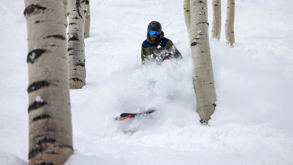
A powder day tree run at Deer Valley Resort. Photo: Courtesy of Deer Valley Resort.
PARK CITY, Utah — After a week of rain and snow, Utah is headed for a dry weekend with cool below, average temperatures compared to the seasonal norms. That will change late on Sunday into Monday when snow showers move into the area. Snowfall is expected to be light throughout the day before picking up Monday evening and carrying into Tuesday with strong winds present.
Powderchasers has snowfall forecasts at a few inches early Monday before picking up in the evening in the Cottonwoods and Park City area with six inches to a foot possible.
Snow will continue into Tuesday, with a big surge passing through during the evening. Wednesday morning has a high potential for an epic powder day by the time lifts open, with the Cottonwood resorts likely receiving a foot or more of snow and the Park City area seeing somewhere between six and twelve inches. Upper elevations could see strong winds at speeds that could cause lift closures.
At lower elevations, multiple areas across the state could see heavy rainfall over Monday and Tuesday.
Current Danger Ratings for the avalanche forecast are at least moderate, with multiple places rising to considerable. See the Utah Avalanche Center’s forecasts for specific area avalanche conditions.
💧 A first look at our upcoming Spring Storm next week. Shown here is the rainfall low/high and best forecast for Monday alone, while the forecast on the right in the precipitation forecast total through the next 7 days. #UTwx #RainAndSnow #NotSpringYet pic.twitter.com/Y6gPMpM0nu
— NWS Salt Lake City (@NWSSaltLakeCity) March 17, 2023
Appreciate the coverage? Help keep Park City informed.
TownLift is powered by our community. If you value independent, local news that keeps Park City connected and in the know, consider supporting our newsroom.
By: Kevin Cody

5314 W Rolling Brook Drive
Herriman, UT 84096
2549 W Sinagua Trail, #26
St. George, UT 84770
5497 S Walker Estates Circle
Holladay, UT 84117
7020 E Creekside Road
Castle Valley, UT 84532
1198 E Elkhorn Lane
Oakley, UT 84055Talk of the Town


Park City Jobs
Senior Development Manager, Park City Education Foundation
1 day ago Full time $70,000 yearly
Development Associate, Park City Education Foundation
1 day ago Full time $46,000 yearly
Stio Mountain Studio Associate Manager, Stio
1 day ago Full time $50,000 - $60,000 yearly
Pharmacist, Alpine Apothecary
4 days ago Part time

Dental Assistant, Rise Dental Wellness
5 days ago Part time