Top Stories
Goodbye sunny weekend, hello weekday snowstorm with statewide impacts
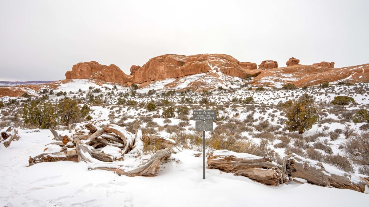
Winter off roading to the start of the Eye of the Whale Hiking Trail at Arches National Park on Wednesday, February 15, 2023. Photo: TownLift // Kevin Cody.
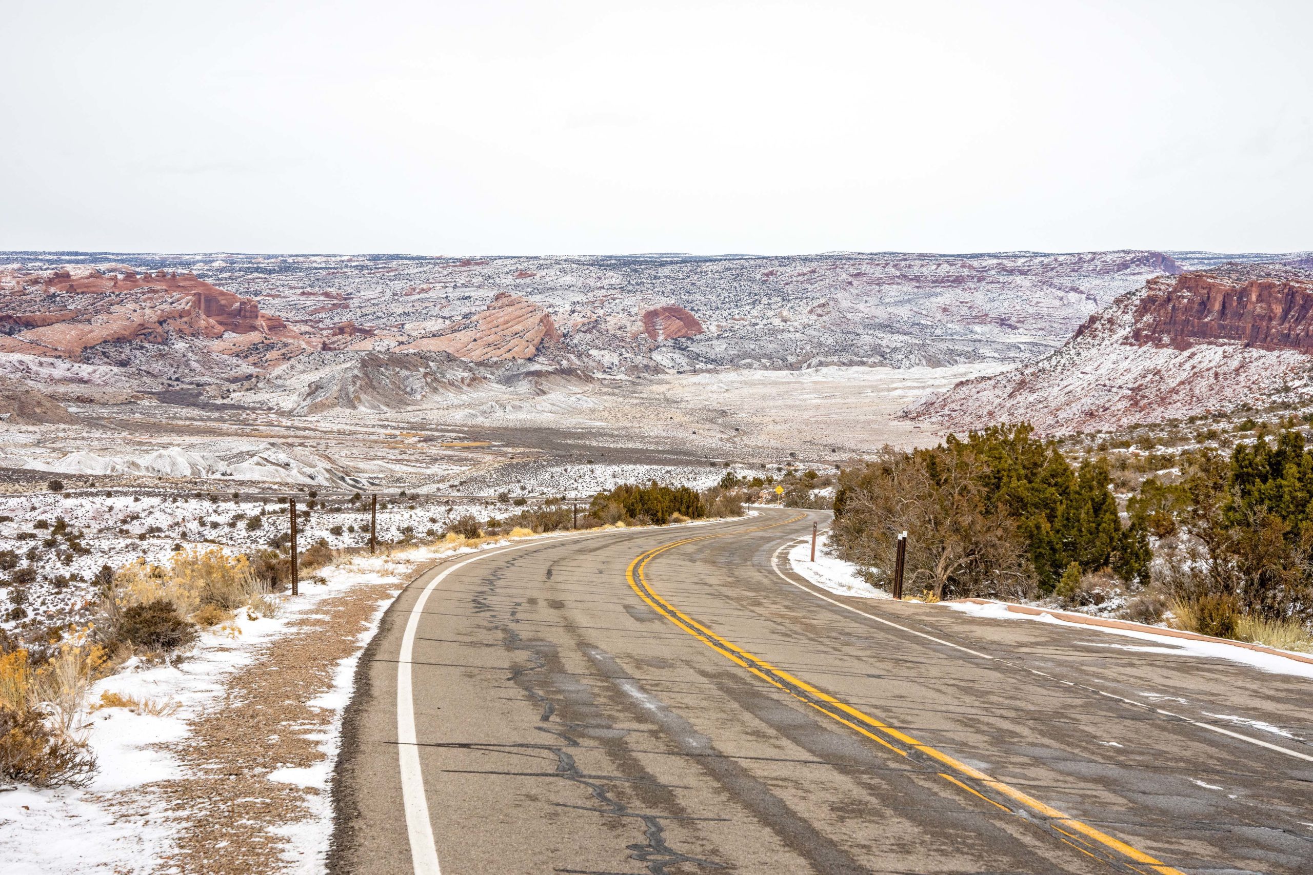
UTAH — February is in its final stretch but not without a bang. The weekend’s welcome sunshine will be ushered out the door with a winter storm warning starting early on Tuesday through Thursday morning, according to the US National Weather Service Salt Lake City Office. Last week, severe weather with dangerous driving conditions passed through southern Utah, Colorado, and northern New Mexico. Even Moab’s rocky terrain became more akin to a winter mountain town than that of the desert.
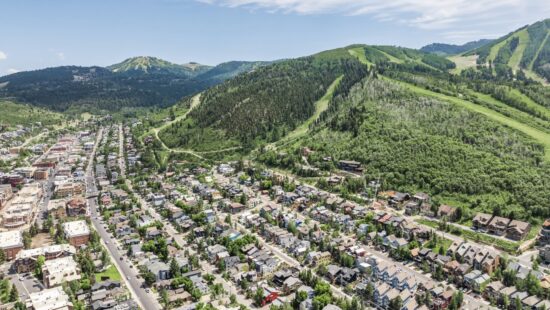
This week’s storm is expected to drop two to four feet of snow in the Cascades and Pacific Northwest areas on its path, according to Powderchasers. While Utah is likely to miss the peak of those numbers, 20 and 30 inches of snow are a real possibility. Park City Mountain, Deer Valley Resort, and Cottonwood Resorts are expected to receive a real dumping of snow throughout the storm.
Road conditions are expected to be rough, with Salt Lake Valley receiving several inches of snow. A complete list of road conditions can be found on the Utah Department of Transportation website, and links to neighboring states are also listed. The UDOT Traffic app also links to mountain pass conditions and current alerts.
By: Kevin Cody

4539 S Willow Road
Holladay, UT 84117
965 Goshen Canyon Road
Mona, UT 84645
24 South 600 East
Salt Lake City, UT 84102
10584 Basin Canyon Road
Park City, UT 84098
19 East 100 North
Spring City, UT 84662Talk of the Town


Park City Jobs

Assistant Manager, LOMA
4 days ago Full time $35.00 hourly
Property Inspector, Park City Rental Properties
5 days ago Full time $23.00 - $25.00 hourly
Owner Relations Manager, Park City Rental Properties
5 days ago Full time
Operations Manager, Park City Rental Properties
5 days ago Full time

Hiring Barista Assistants and Baristas, Silver King Coffee
7 days ago Part time $17.00 - $30.00 hourly