Weather
Utah to receive more snow starting Thursday from a bomb cyclone heading up the Sierras
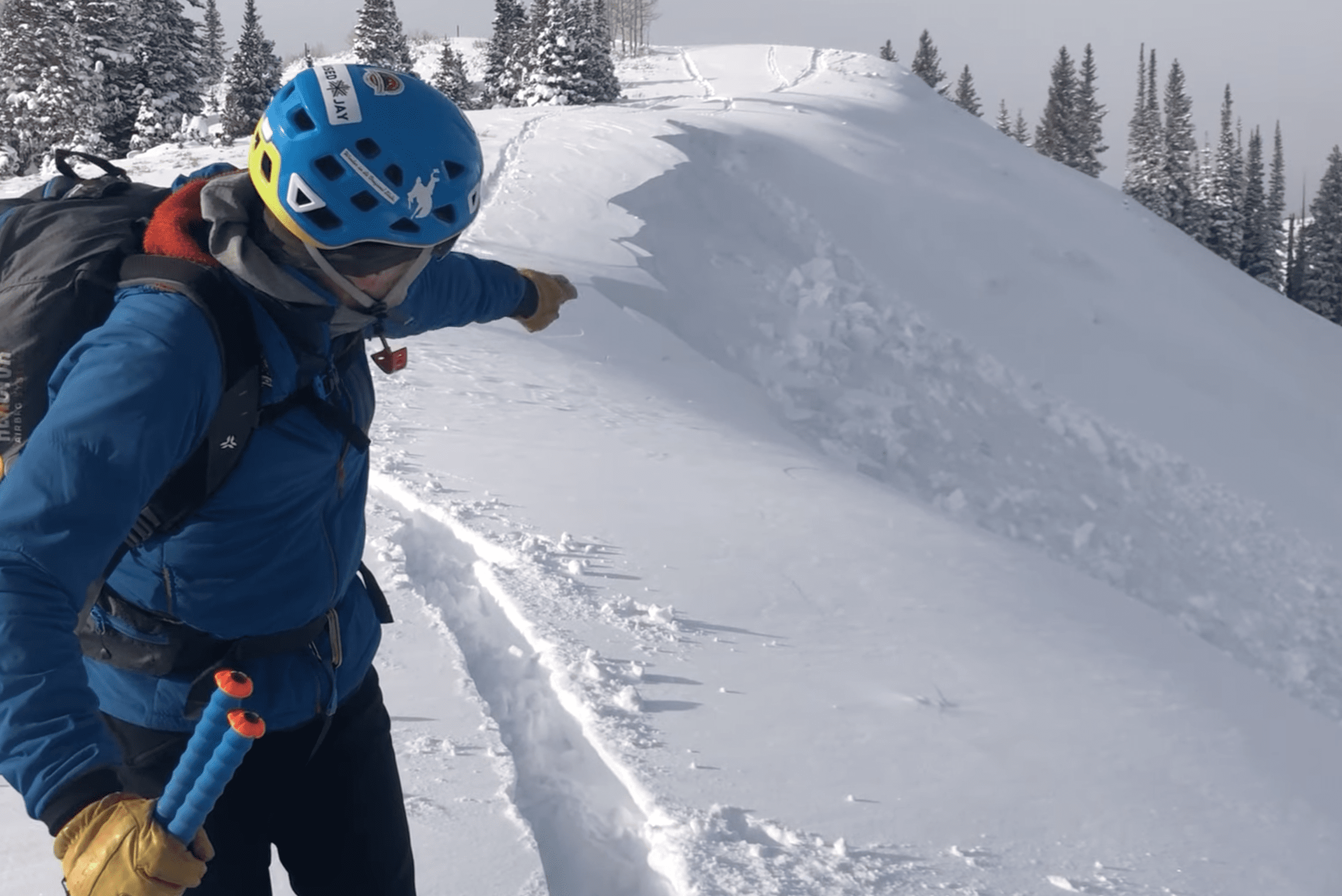
Silverlode Outlook Photo: Park City Mountain Resort
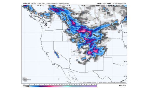
UTAH — Powderchasers forecasts a strong bomb cyclone to make its way up the Sierras, bringing more snow to Utah on Thursday and Friday.
A bomb cyclone, also called bombogenesis, is a cyclone that occurs in the midlatitudes, between the tropics and polar regions, where it rapidly strengthens over 24 hours. This can form when a cold air mass collides with a warm air mass, as explained by the National Oceanic and Atmospheric Administration. This storm is not expected to reach further inland than California, but weaker waves will separate from the main storm and bring a predicted 2-5 inches of snow to the Wasatch.
A second storm will move into the west coast starting on Saturday and could eventually make its way to Utah, though its path inland and snow totals could change as it is still five days away.
Avalanche dangers ratings are still considerable or high across the state. The warming temperatures ahead of this week’s storm could bring added risk as snow is likely to be denser. To stay up to date with avalanche forecasts and backcountry conditions, see the Utah Avalance Center website.
By: Kevin Cody

1545 N Red Castle Circle
Heber City, UT 84032
1042 W Shoreline Drive
Layton, UT 84041
2304 N Cohonina Trail
St. George, UT 84770
760 E Edgehill Rd
Salt Lake City, UT 84103
3764 Prickly Pear Circle, Unit 5-A6
Moab, UT 84532Talk of the Town


Park City Jobs
Senior Development Manager, Park City Education Foundation
3 days ago Full time $70,000 yearly
Development Associate, Park City Education Foundation
3 days ago Full time $46,000 yearly
Stio Mountain Studio Associate Manager, Stio
4 days ago Full time $50,000 - $60,000 yearly
Pharmacist, Alpine Apothecary
7 days ago Part time

Dental Assistant, Rise Dental Wellness
7 days ago Part time