Weather
Strong winds and snowfall create high avalanche danger
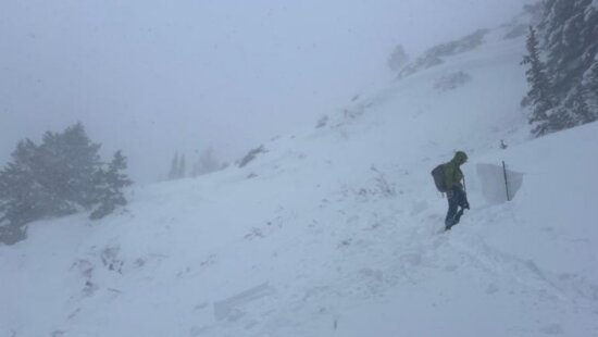
Avalanche crown Red Pine Drainage in Little Cottonwood Canyon. Photo: Courtesy of Wasatch Backcountry Rescue and the Alta and Snowbird Ski Patrols.
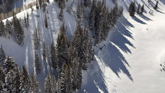
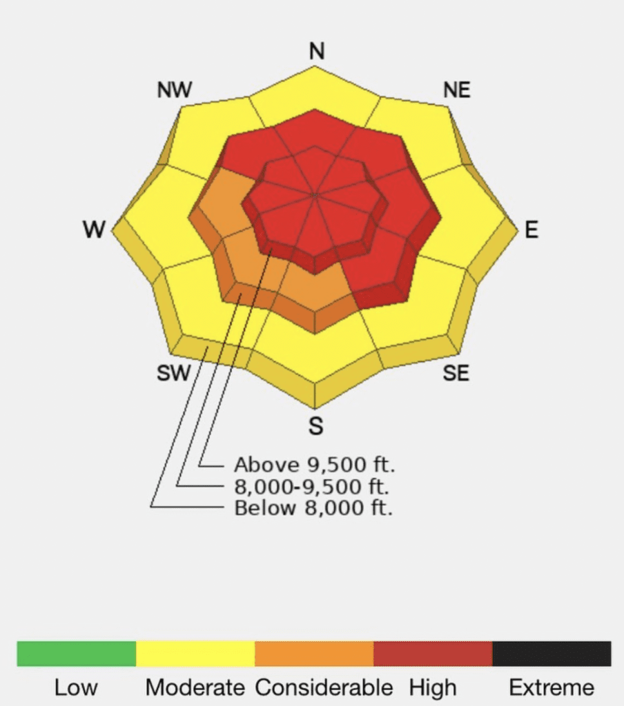
UTAH — Avalanche danger will continue to rise to high on all upper elevation aspects and mid-elevation aspects facing northwest through north and southeast, according to a report from the Utah Avalanche Center.
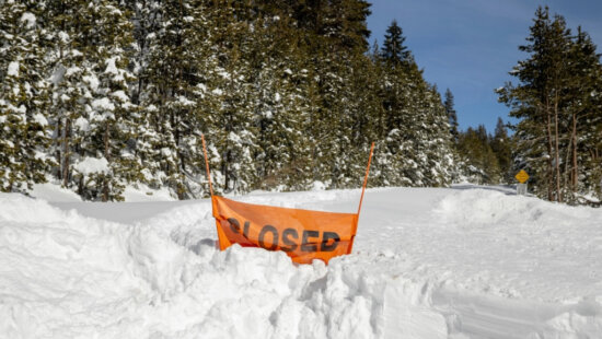
Traveling on, underneath, or adjacent to slopes steeper than 30° at mid and upper elevations is not currently recommended.
Strong winds and continued snowfall are responsible for the dangerous avalanche conditions. Deer Valley Resort reported that it had received 14 inches of snow overnight this morning, and Park City Mountain Resort reported 16 inches of snow in the last 24 hours.
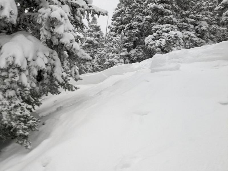
“Any avalanche triggered within the new snow or the wind-drifted snow has the potential to step down into deeper weak layers in the snowpack, creating a very large and dangerous avalanche,” said a statement from the Utah Avalanche Center.
View the full report here.
By: Ashtyn Asay

371 N Pinion Hills Drive
Dammeron Valley, UT 84783
2075 E Munsey Drive
Moab, UT 84532
8905 Parleys Lane
Park City, UT 84098
1511 S Valley View Circle
Springville, UT 84663Talk of the Town


Park City Jobs

Ranch/Property Manager, PAlms Property Management Inc
2 days ago Full time $45,000 - $65,000 yearly

Banquet Manager, Black Rock Mountain Resort
4 days ago Full time $85,000 - $90,000 yearly
Concerts on the Slopes - Event Staff, Park City Performing Arts
7 days ago Seasonal $20.00 - $35.00 hourly
Concerts on the Slopes - Hospitality Assistant, Park City Performing Arts
7 days ago Seasonal $20.00 - $30.00 hourly
Concerts on the Slopes Venue Coordinator, Park City Performing Arts
7 days ago Seasonal $2,000 - $2,500 weekly