Weather
No powder in the forecast as snowpack dips below median levels
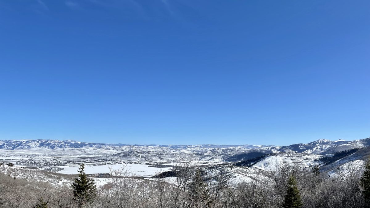
Snowpack levels are dropping in Utah after a dry January and slow start to February. Photo: TownLift
PARK CITY, Utah — The National Weather Service (NWS) said on Tuesday that continued dry weather in Utah is “taking its toll on the snowpack, with snow water equivalents for several basins dipping below median for this time of year.”
The latest numbers:
Unfortunately, NWS isn’t forecasting any snow for Park City this week. The lows are in the 20s this week, with the high expected to reach the 40s come Sunday.
Powder Buoy has Feb. 15 on the radar, with the assumption that we can break through high pressure.
View this post on Instagram
Valley inversions are expected to return this week, with NWS officially recommending individuals in some areas wear N95 masks outdoors and stay inside as much as possible.
NWS Meteorologist Mike Seamon told the Salt Lake Tribune, “we’re in a dry period.”
“We’ve got a strong ridge of high pressure on the West Coast. It’s bringing in this northerly flow out of Canada, which is pretty dry air.”
He told the Tribune that late February through April, historically the wettest time of the year in the state, is “the key time for us to add to the water in the snowpack.”
Seaman acknowledged that ending up with an above-average snowpack is “not likely.”
TownLift provides a weather and snow report that is updated in real-time.
By: Parker Malatesta

6110 E Blue Wing Loop
Kamas, UT 84036
2304 N Cohonina Trail
St. George, UT 84770
760 E Edgehill Rd
Salt Lake City, UT 84103
1042 W Shoreline Drive
Layton, UT 84041
3764 Prickly Pear Circle, Unit 5-A6
Moab, UT 84532
1545 N Red Castle Circle
Heber City, UT 84032Talk of the Town


Park City Jobs
Senior Development Manager, Park City Education Foundation
7 days ago Full time $70,000 yearly
Development Associate, Park City Education Foundation
7 days ago Full time $46,000 yearly
Stio Mountain Studio Associate Manager, Stio
7 days ago Full time $50,000 - $60,000 yearly
Pharmacist, Alpine Apothecary
10 days ago Part time

Dental Assistant, Rise Dental Wellness
11 days ago Part time