Weather
Winter Weather Advisory in effect until Friday night

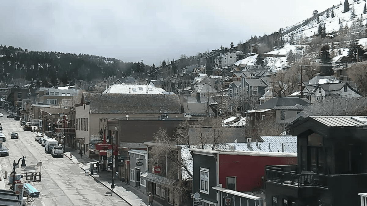
Snow removal crews have been busy this week. Photo: Park City Municipal
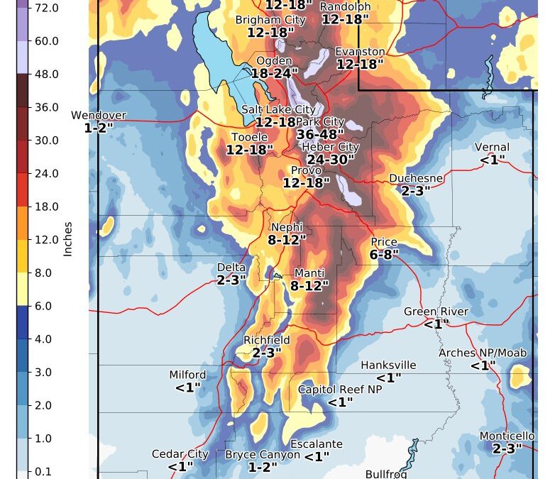
PARK CITY, Utah — A Winter Weather Advisory is in effect in Park City until 9 pm on Friday, according to the National Weather Service (NWS).
Total snow accumulations of 8 to 14 inches are expected in the Wasatch Back, with higher amounts possible in the Odgen Valley.
“Winter driving conditions, including snow packed roads and reduced visibilities, can be expected at times from Wednesday evening through Friday evening,” NWS said.
“The hazardous conditions could impact peak commute times, especially the Thursday morning and evenings commutes as well as the Friday morning commute.”
Winter road conditions from the Utah Department of Transportation (UDOT).
NWS forecast:
Wednesday Night
Snow. Low around 18. South southwest wind 15 to 18 mph, with gusts as high as 30 mph. Chance of precipitation is 90%. New snow accumulation of 1 to 2 inches possible.
Thursday
Snow, mainly after noon. High near 26. South southwest wind 14 to 17 mph, with gusts as high as 30 mph. Chance of precipitation is 90%. New snow accumulation of less than one inch possible.
Thursday Night
Snow. Low around 17. Breezy, with a west wind 18 to 23 mph decreasing to 9 to 14 mph after midnight. Chance of precipitation is 100%. New snow accumulation of 6 to 10 inches possible.
Friday
Snow. High near 18. West wind 13 to 15 mph. Chance of precipitation is 90%. New snow accumulation of 1 to 2 inches possible.
Friday Night
Snow likely, mainly before midnight. Mostly cloudy, with a low around 5. Chance of precipitation is 60%. New snow accumulation of less than one inch possible.
New Year’s Day
Partly sunny, with a high near 11.
TownLift

4536 N Painted Sky Drive
St. George, UT 847703137 East George White Road
Moab, UT 845321068 W Shoreline Dr
Layton, UT 840417566 E Ponderosa Dr
Huntsville, UT 843177948 Red Tail Court
Park City, UT 840602600 N 1200 West, Suite 6
Lehi, UT 84043Talk of the Town


Park City Jobs
Summer Concert Staff, Park City Institute
Today Contractor $25.00 - $35.00 hourly
Office Administrator, Park City Soccer Club
2 days ago Part time $21.00 - $23.00 hourly

Community Liaison & Administrative Assistant to the General Manager, K&K Property Management
15 days ago Full time $20.00 - $23.00 hourly

Full-time paint retailer at Park City Paint, Park City Paint
17 days ago Full time $20.00 - $24.00 hourly

Park City Gardens is hiring for the summer!, Garden Cafe at Park City Gardens
23 days ago Seasonal $17.00 - $22.00 hourly
You May Also Like