Weather
Park City Could See 27 Inches of Snow by Tuesday
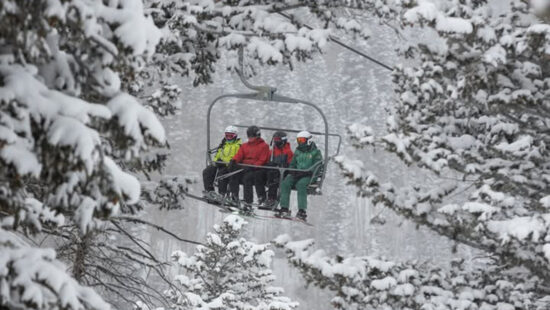
Silverlode Outlook, Friday 4:06pm Photo: Park City Mountain Webcam
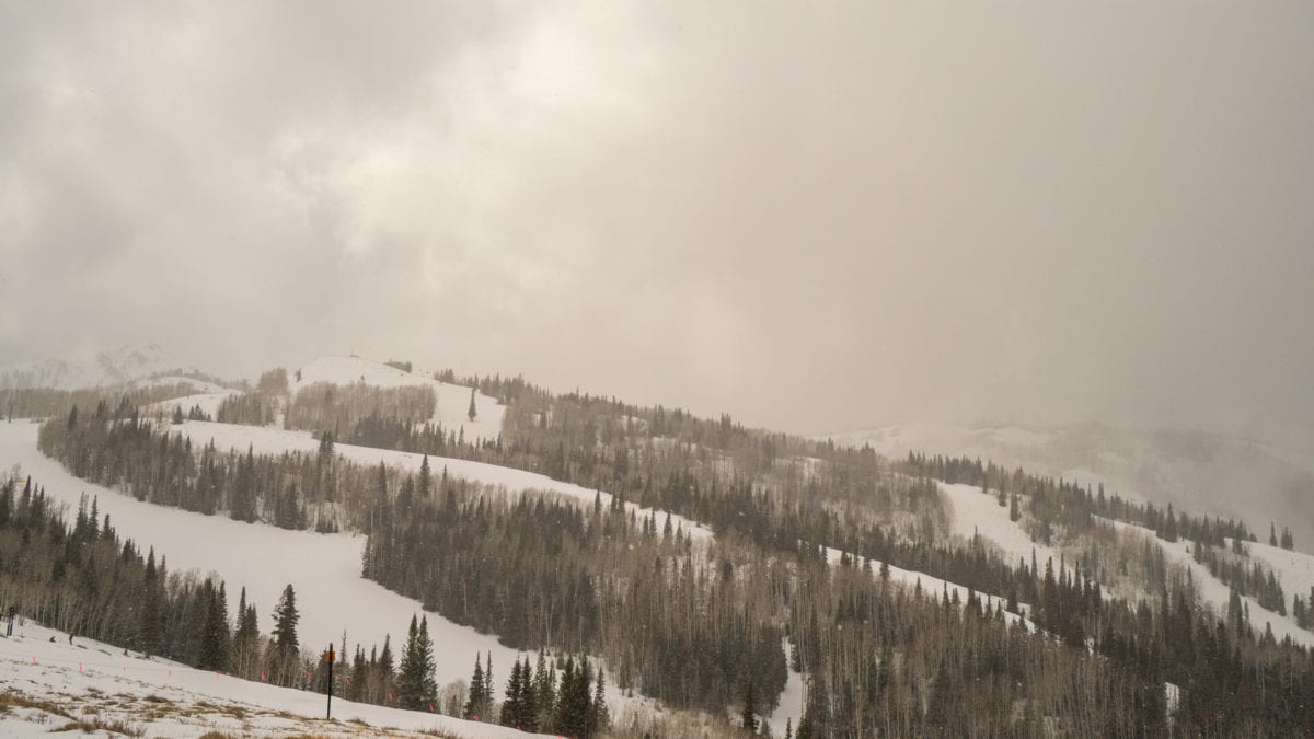
WASATCH RANGE, Utah. – Meteorologist Chris Tomer is back with another update today on the snow forecast for Utah and Colorado, and winter outdoor enthusiasts can take heart: Park City should receive 23 inches of snow by Sunday at 5 am, and there could be a total of 27 inches of new snow by Tuesday evening.
NOAA has issued a Hazardous Weather Outlook stating that precipitation will develop today and increase in coverage and intensity tonight as a storm system moves into the area. Significant snow is expected in the mountains while many valleys will initially see rain or a rain/snow mix gradually transition to snow late tonight.
The Utah Avalanche Center has issued an AVALANCHE WATCH for the entire Wasatch Range. HEAVY SNOWFALL TONIGHT AND TOMORROW WILL OVERLOAD A VERY WEAK SNOWPACK AND CREATE VERY DANGEROUS AVALANCHE CONDITIONS. THE AVALANCHE DANGER IS EXPECTED RISE TO HIGH ON SATURDAY.
By: TownLift

3764 Prickly Pear Circle, Unit 5-A6
Moab, UT 84532
760 E Edgehill Rd
Salt Lake City, UT 84103
1042 W Shoreline Drive
Layton, UT 84041
1545 N Red Castle Circle
Heber City, UT 84032
2304 N Cohonina Trail
St. George, UT 84770Talk of the Town


Park City Jobs
Senior Development Manager, Park City Education Foundation
3 days ago Full time $70,000 yearly
Development Associate, Park City Education Foundation
3 days ago Full time $46,000 yearly
Stio Mountain Studio Associate Manager, Stio
3 days ago Full time $50,000 - $60,000 yearly
Pharmacist, Alpine Apothecary
6 days ago Part time

Dental Assistant, Rise Dental Wellness
7 days ago Part time