Weather
Monsoon moisture brings rising thunderstorm, flash flood risk to Utah

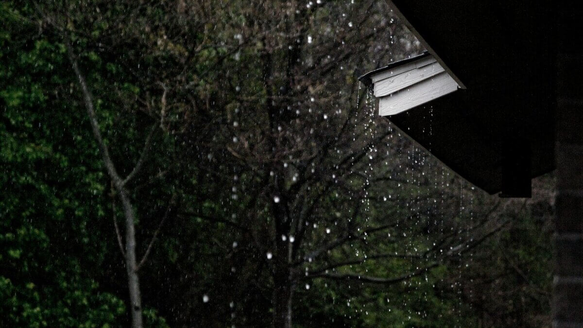
Storm clouds build over Utah as monsoon moisture increases the chance of afternoon thunderstorms, heavy rain and flash flooding this week. Photo: Photo by A A
Monsoon moisture brings rising thunderstorm, flash flood risk to Utah
PARK CITY, Utah — Monsoon moisture moving northward across Utah will bring an increasing chance of afternoon and evening thunderstorms this week, offering some relief from record heat while increasing the risk of heavy rain and flash flooding.
The National Weather Service in Salt Lake City said Monday that moisture already spreading into southern Utah will continue moving north, reaching northern Utah later in the day. Forecasters said thunderstorms will become more widespread as atmospheric moisture increases through the week.
In Park City, the National Weather Service forecast calls for scattered thunderstorms Tuesday afternoon, with chances of storms rising to 60% Wednesday and Thursday. Daytime highs are expected to fall from the mid-80s on Monday to around 79 degrees later in the week.
Utah meteorologist Chase Thomason described the change as a markedly different weather pattern following the state’s historic heat wave.
The North American Monsoon is not a continuous season of rain like the monsoons commonly associated with parts of Asia. It is a seasonal change in atmospheric circulation that draws moisture northward from the Gulf of California, the eastern Pacific, and surrounding regions into the Southwest.
The National Weather Service said that as monsoon moisture increases, showers and thunderstorms capable of producing heavy rain, strong winds, hail, lightning, and flash flooding become more frequent. Rainfall can remain highly localized, with totals varying widely even within the same county.
Mountain terrain is often among the first areas to see thunderstorms form because rising air over higher elevations helps clouds and storms develop. Those storms may later drift into nearby valleys, meaning one neighborhood can receive a downpour while another remains dry.
Cloud cover should help trim temperatures, but warm conditions will persist. Overnight temperatures may also remain elevated, limiting relief from the recent heat.
The greatest danger will come from storms capable of producing heavy rain over a short period. Flash flooding is especially dangerous in slot canyons, normally dry washes, and wildfire burn scars.
The National Weather Service maintains daily flash flood forecasts for southern Utah recreation areas, including Zion, Bryce Canyon, Capitol Reef, Grand Staircase-Escalante, and the San Rafael Swell.
Heavy rain does not have to fall directly overhead to create a threat. Water can move rapidly downstream from storms miles away, reaching areas where skies remain clear.
Forecasters advise hikers, campers, and anyone entering canyon country to check current conditions before leaving and to avoid narrow canyons or washes when storms are possible.
By: Rebecca Brenner


1263 E Wild Maple Court
Draper, UT 84020
336 W Broadway Unit 201
Salt Lake City, UT 84101
29 Marilyn Court
Park City, UT 84060
1548 W Woodsview Lane
St. George, UT 84770Talk of the Town


Park City Jobs

Boutique Manager, Blue Sky Nomads
Today Full time

Landscape foreman, Mountain Vista Landscapes
Today Full time $25.00 - $30.00 hourly

Concierge, Washington School House Hotel
3 days ago Full time $22.00 - $23.00 hourly

Park City Boutique Manager, CHAMMOMILE
3 days ago Part time $35,000 - $45,000 yearly

Soldier Hollow Snowmaking, Grooming and Trail Lead, Utah Olympic Park
4 days ago Seasonal $21.00 - $28.00 hourly