Environment
San Rafael Swell gets updated travel plan: More trails, better protection
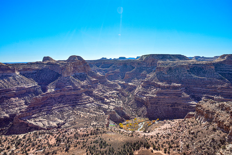
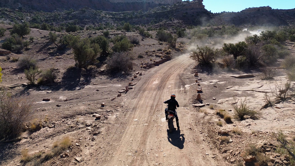
Photo: San Rafael Swell – View Down into Canyon
PRICE, Utah— The Bureau of Land Management issued a final travel management plan for the San Rafael Swell Recreation Area, designating the availability of routes on public lands for off-highway vehicles (OHVs) on Dec. 31, 2024. The area spans more than 1.1 million acres in Emery County and approximately 44,000 acres in Sevier County.
New plan increases mileage for OHV use while minimizing the potential for damage to natural and cultural resources
The BLM’s selected alternative increases the mileage open for OHV use and provides a variety of sustainable recreation opportunities for all visitors and meets access needs throughout the San Rafael Swell, while minimizing the potential for user conflicts and damage to natural and cultural resources.
Nestled in the heart of Utah, the area draws visitors with its blend of rugged beauty and outdoor adventure. This expansive and diverse landscape, characterized by towering red rock formations, slot canyons, and expansive desert vistas, serves as a destination for many diverse outdoor enthusiasts.
More than 6,000 comments from the public and stakeholders were considered
BLM’s final management approach, designated as Proposed Alternative E, was developed after consideration of more than 6,000 comments from the public and stakeholders. Overall, 1,355 miles of designated routes are open to motorized travel, including OHVs, trucks, and SUVs, with 141 miles limited to certain types and sizes of vehicles. The approved plan opens an additional 67 miles of designated routes compared to current management, and roughly 240 miles of currently closed or undesignated routes are now designated for public motorized use.
Roughly 158 miles of previously open routes are now closed to motorized travel, with 665 total miles closed to OHV use. Closed routes are only closed to motorized travel and remain accessible to the public for nonmotorized activities. Route closures were made to minimize and avoid negative impacts from motorized travel in sensitive areas, particularly in areas with cultural resources, important wildlife habitats, and delicate ecosystems.
Route maps are available at the BLM National NEPA Register
Complete information, including the final environmental assessment, route maps, and route analysis, are available at the BLM National NEPA Register. The San Rafael Swell/Desert area ranges roughly from the Book Cliff Mountains in the East to Capital Reef National Park in the south-west corner, with Jurassic National Monument and Goblin Valley State Park embedded within the area.
BLM manages public lands and sub-surface mineral estate
The BLM manages more than 245 million acres of public land located primarily in 12 western states, including Alaska, on behalf of the American people. The BLM also administers 700 million acres of sub-surface mineral estate throughout the nation. Their mission is to sustain the health, diversity, and productivity of America’s public lands for the use and enjoyment of present and future generations.
Follow the BLM Utah on X, Facebook, and Flickr @BLMUtah
Follow BLM Utah’s Instagram @utahpubliclands


