Snow
Predicting powder: decoding Utah’s winter weather puzzle
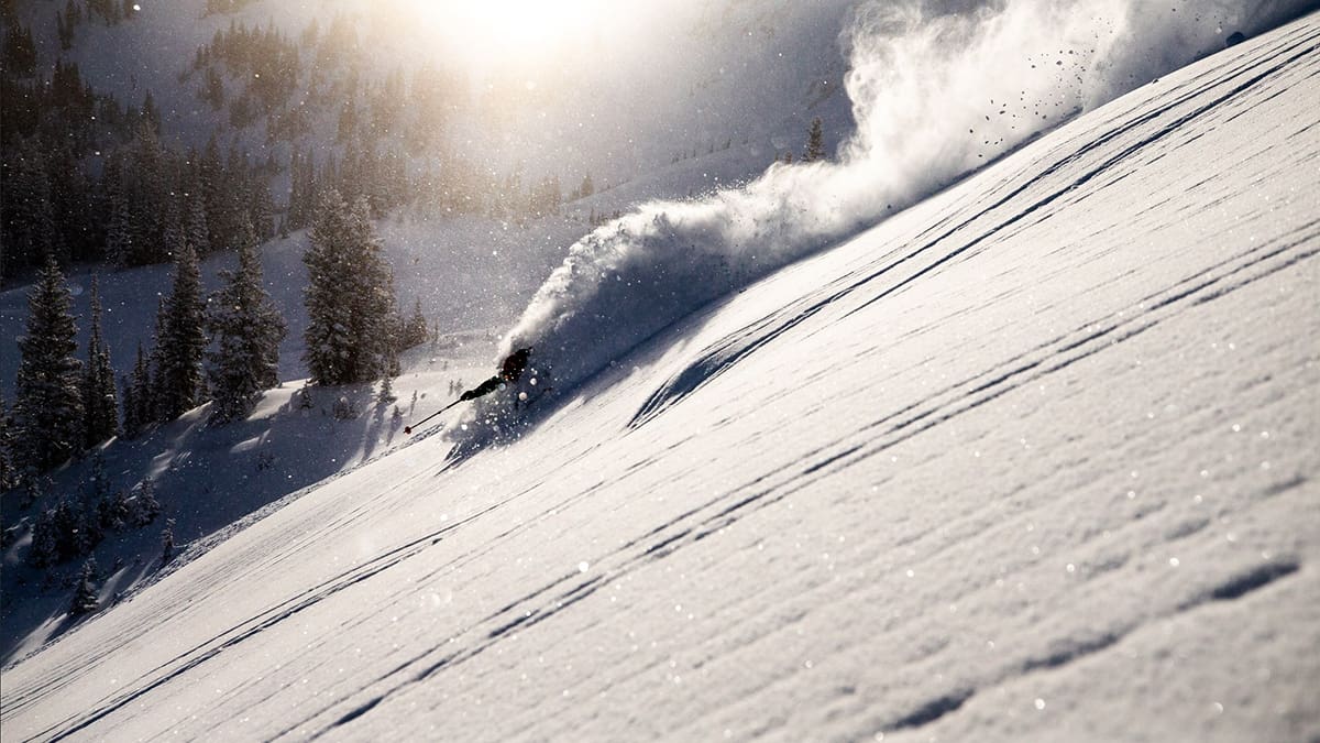
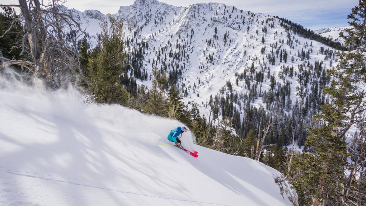
A skier rips through fresh powder at Alta. Resorts in the Wasatch could recieve above average snowfall this year, according to The Old Farmer's Almanac and NOAA trends. Photo: Rocko Menzyk
The 2024-25 forecast remains cautiously optimistic taking into account predictions from NOAA and The Old Farmer's Almanac
PARK CITY, Utah – Predicting long-range weather forecasts is like gambling. It’s fun to do it, especially as the air starts to change and winter looms not too distant on the horizon, but it rarely pans out in the optimistic version you dream of. Trying to figure out what combination of historical patterns and oscillations, paired with ocean temperatures and how much money you’re about to spend on new gear, all blend together in a sort of beer goggle haze of pre-season optimism.
Making matters more complicated for Utahns is our geographic location. Sometimes we track slightly south of the storms that wallop our Wyoming neighbors to the north and even though this year, NOAA’s “variable Polar Jet Stream” does run right through northern Utah – optimists will see us in the bullseye and realists know storms could easily skirt north or south of the heart of skiing terrain in the Wasatch.
In July, we reported on how this season’s La Nina pattern might affect the ski season. According to NOAA, La Niña patterns typically lead to drier and warmer winters in the south and colder and wetter winters to the north. This bodes well for Utah ski resorts historically, even though NOAA models show Utah in a bit of a middle ground.
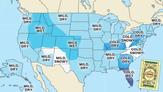
The Farmers’ Almanac, a 200 year old publication originally written to help agriculturists plan for the planting of crops that provides a winter forecast every August, agrees that La Niña will develop and take hold through the 2024-25 winter season, leading to a snowy winter.
“The astronomical start of winter begins with the winter solstice on Saturday, Dec. 21, 2024. This winter, La Niña, which refers to the periodic cooling of ocean surface temperatures in the central and eastern equatorial Pacific, is expected to develop and hang on through the season. Taking into account the effect La Niña has on the weather, along with our longstanding formula, we anticipate the winter of 2024-25 will be wet and cold for most locations,” the almanac said.
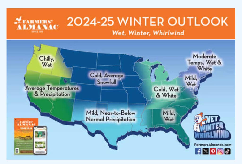
The Almanac’s predictions mean good news for the mountains of Wyoming, Montana and northern Colorado, where colder temperatures are expected. California, Idaho and Utah may get a more “average” season, both in temperature and precipitation while Washington and Oregon may get a wetter and slightly chillier-than-average winter.
This being said, during a La Niña winter, Utah can experience above-average snowfall, especially in the northern part of the state. La Niña patterns lead to colder and wetter conditions across much of the Intermountain West, including Utah.
Here are some examples of La Niña winters with heavy snowfall in Utah:
2010-2011 Winter: A strong La Niña brought significant snow to Utah, particularly in the Wasatch Mountains. Snowbird Resort recorded over 783 inches of snow, leading to a long ski season extending into July.
2007-2008 Winter: Another strong La Niña year, this winter saw large snowfalls, especially in northern Utah. Ski resorts like Alta received over 700 inches of snow.


