Sports
Smart phone app provides real-time avalanche danger info
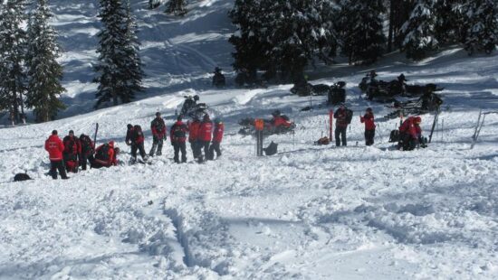
New smart phone app launching in November to assist with avalanche danger. Photo: Treeline PR
Despite the increasing number of avalanche safety apps, experts caution against relying solely on these tools
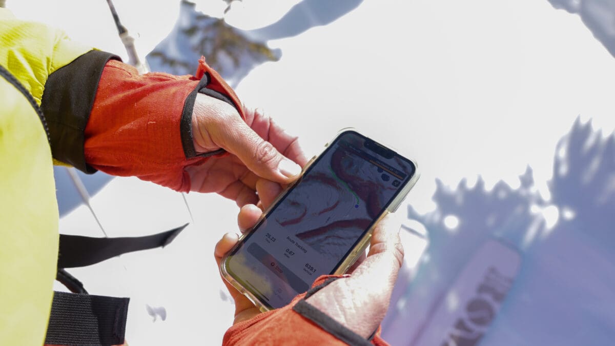
UTAH — A new app named AspectAvy will launch this month in an effort to enhance backcountry safety. The app aims to drastically reduce avalanche fatalities by providing critical data and safety updates to users venturing into avalanche-prone terrain.
Developed by Colorado-based mountain guide Jeff Banks and designer JB Leach, the app is designed to predict the safest backcountry routes down anywhere that has an avalanche forecast and laser mapping.
“AspectAvy is on a mission to save lives from avalanches. We don’t want to lose any more friends in our community,” said co-founder Banks.
AspectAvy joins the ranks of several other apps like Gaia and OnX that provide real-time updates on avalanche danger levels. The Utah Avalanche Center also has an app to keep people updated on avalanche conditions while also using crowdsourcing to share avalanche activity.
AspectAvy has a user-friendly interface and focuses on proactive prevention. It simplifies the process of understanding and assessing avalanche risks. The app’s functionality extends beyond alerts. Providing data on aspects like exposure and slope angle enables users to assess the risk of avalanches in their area, invaluable information for skiers, mountaineers, and anyone else navigating avalanche terrain.
Despite the increasing number of avalanche safety apps, experts caution against relying solely on these tools. While they can be helpful, they are not substitutes for proper training and understanding of backcountry conditions.
By: Aimee L. Cook

6110 E Blue Wing Loop
Kamas, UT 84036
1042 W Shoreline Drive
Layton, UT 84041
1545 N Red Castle Circle
Heber City, UT 84032
2304 N Cohonina Trail
St. George, UT 84770
760 E Edgehill Rd
Salt Lake City, UT 84103
3764 Prickly Pear Circle, Unit 5-A6
Moab, UT 84532Talk of the Town


Park City Jobs
Soccer Coach August Through October (Mon - Thu 3:15pm - 5:15pm), City League PC
1 day ago Part time $25.00 hourly

Tour Guide & Driver Park City, Heber Valley &, Midway PT, Park City Travel and Tours LLC
2 days ago Contractor $15.00 - $18.00 hourly
Technician, Trails, Basin Recreation
2 days ago Full time $49,927 - $62,409 yearly
Education Coordinator and Summer Camp Manager , Kimball Art Center
2 days ago Full time $23.00 hourly

Digital Marketing Associate, Park City Community Foundation
5 days ago Contractor $24.00 - $27.00 hourly