Top Stories
Snow and mixed precipitation back in the forecast through Thursday afternoon
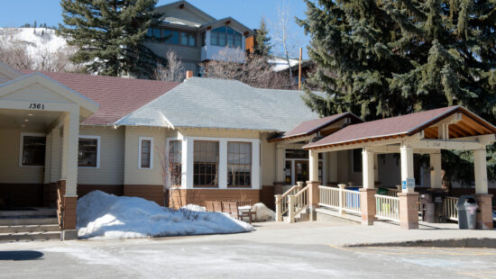
State Route 248 is looking to have some transit upgrades in the coming years. Photo: TownLift // Kevin Cody
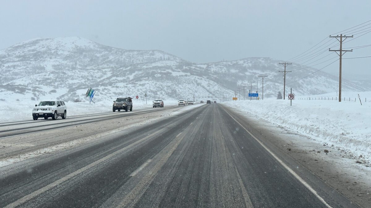
PARK CITY, Utah — Snow and mixed precipitation is coming back to Utah after days of warmer Spring weather.
Precipitation is not expected to reach the area until early on Thursday. The Utah Department of Transportation forecasted a road weather alert starting at 1 a.m. through 11 a.m. on Thursday. Snowfall could reach a rate of 1 inch per hour at its peak in places. Temperatures will warm back up by midday.
Not ready for warm weather yet? A cold front moving through beginning tonight will result in temperatures up to 10°F below normal for this time of year by Thursday. Some gusty winds and generally light precipitation will accompany the front. Here's what you can expect. #utwx pic.twitter.com/Qe1o5Xo2a6
— NWS Salt Lake City (@NWSSaltLakeCity) April 12, 2023
Park City is forecasted to have freezing temperatures in the morning before reaching a high of 41 degrees. Depending on elevation with regard to the type of precipitation, I-15 from Brigham City to the Border, I-80 from Parleys Canyon to Wanship, US-89 from I-80 junction to Mayflower Summit, and both roadways in the Cottonwoods are listed as areas of concern for winter weather travel conditions.
Road Weather Alert: a strong cold front will bring snow back to N UT Thursday AM. Areas of road snow/slush will bring minor impacts to the AM commute. For more info, visit: https://t.co/4P1gO2c9Uo #utwx #utsnow @UtahTrucking pic.twitter.com/wPV4UsIyTc
— UDOT Traffic (@UDOTTRAFFIC) April 12, 2023
By: Kevin Cody

4539 S Willow Road
Holladay, UT 84117
24 South 600 East
Salt Lake City, UT 84102
965 Goshen Canyon Road
Mona, UT 84645
19 East 100 North
Spring City, UT 84662
10584 Basin Canyon Road
Park City, UT 84098Talk of the Town


Park City Jobs

Assistant Manager, LOMA
6 days ago Full time $35.00 hourly
Property Inspector, Park City Rental Properties
7 days ago Full time $23.00 - $25.00 hourly
Owner Relations Manager, Park City Rental Properties
7 days ago Full time
Operations Manager, Park City Rental Properties
7 days ago Full time

Hiring Barista Assistants and Baristas, Silver King Coffee
9 days ago Part time $17.00 - $30.00 hourly