Weather
Wasatch to receive more new snow this week ahead of a warm front
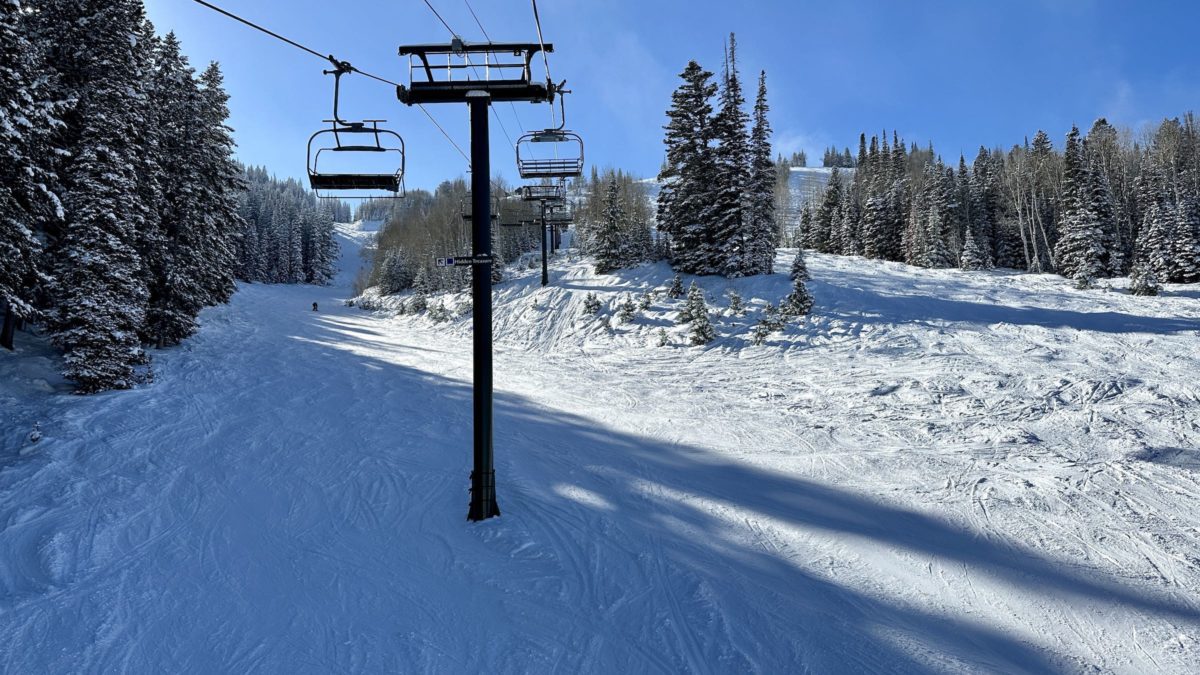
View overlooking Hidden Treasure at Deer Valley Resort. Photo: TownLift // Kevin Cody.
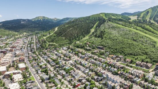
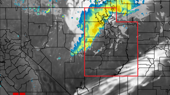
PARK CITY, Utah — Last week’s storm left the state with several feet of fresh snow and frigid temperatures, with nighttime temperatures in Park City falling below zero. The next wave of snow isn’t expected to reach Utah until Tuesday evening or early Wednesday, according to Powderchasers and the National Weather Service.
The initial wave of snow will likely leave 3 to 5 inches of accumulation at resort elevations before the first lifts start to roll. Throughout the day, more snow will increase the resort’s snowfall to somewhere around an additional 5 inches.
The next wave will move into the Pacific Northwest Thursday night. The front will bring warmer temperatures as it moves across the Western U.S. turning snowfall to rain and sleet at ski resorts. For Utah, this will likely reach the area on Friday and could increase avalanche risk throughout the state.
To stay up to date on avalanche risk throughout the state, see the Utah Avalanche Center’s website.
By: Kevin Cody

4539 S Willow Road
Holladay, UT 84117
10584 Basin Canyon Road
Park City, UT 84098
24 South 600 East
Salt Lake City, UT 84102
19 East 100 North
Spring City, UT 84662
965 Goshen Canyon Road
Mona, UT 84645Talk of the Town


Park City Jobs

Assistant Manager, LOMA
3 days ago Full time $35.00 hourly
Property Inspector, Park City Rental Properties
4 days ago Full time $23.00 - $25.00 hourly
Owner Relations Manager, Park City Rental Properties
4 days ago Full time
Operations Manager, Park City Rental Properties
4 days ago Full time

Hiring Barista Assistants and Baristas, Silver King Coffee
6 days ago Part time $17.00 - $30.00 hourly