Weather
More snow expected on Tuesday
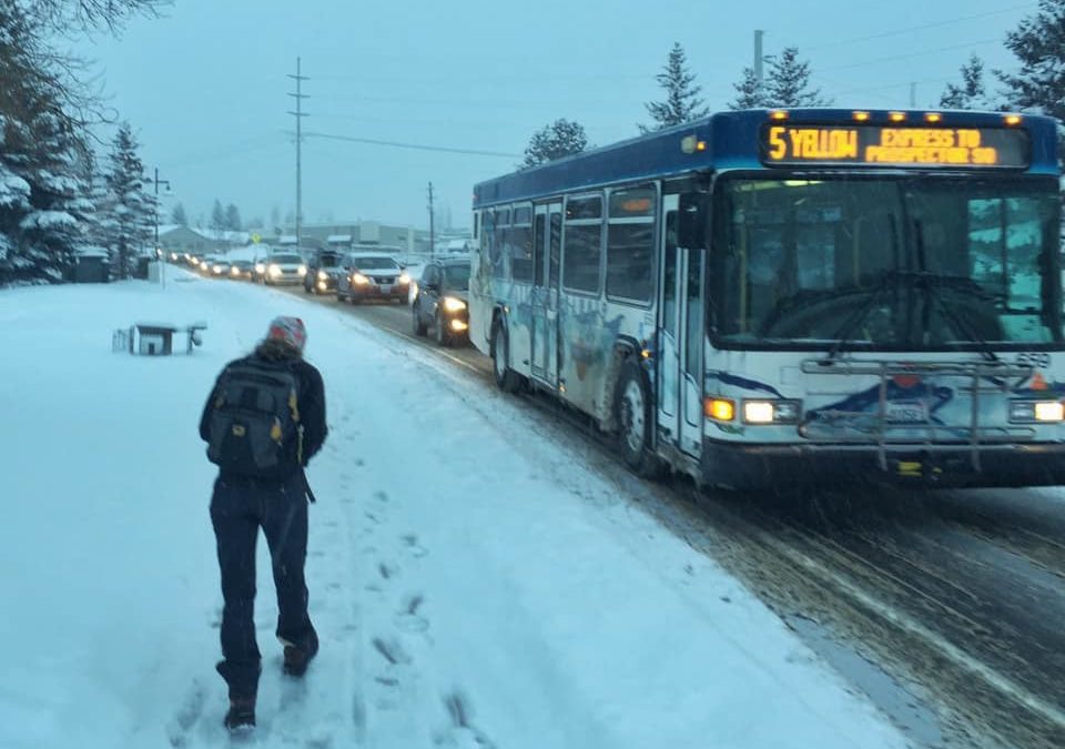
Winter storm Warning. Photo: Park City Municipal
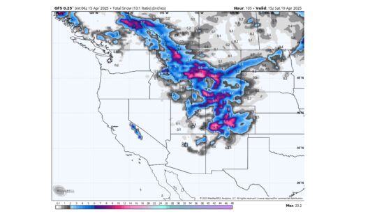
PARK CITY, Utah — Through Friday night, the National Weather Service (NWS) says Park City could see up to 18 fresh inches of snow.
A Winter Weather Advisory will be in effect from 11 pm on Tuesday to 11 am on Wednesday. “Slow down and use caution while traveling,” NWS said.
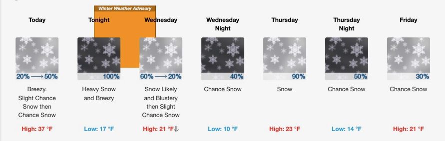
Full forecast:
Tuesday
A 50 percent chance of snow, mainly after 2pm. Increasing clouds, with a high near 37. Breezy, with a south wind 25 to 28 mph, with gusts as high as 41 mph. Total daytime snow accumulation of 1 to 2 inches possible.
Tuesday Night
Snow. The snow could be heavy at times. Low around 17. Breezy, with a south wind 18 to 23 mph becoming west after midnight. Chance of precipitation is 100%. New snow accumulation of 6 to 10 inches possible.
Wednesday
Snow likely, mainly before 11am. Partly sunny, with a temperature falling to around 14 by 5pm. Wind chill values as low as zero. Blustery, with a west wind 13 to 22 mph. Chance of precipitation is 60%. New snow accumulation of less than one inch possible.
Wednesday Night
A 40 percent chance of snow after 11pm. Increasing clouds, with a low around 10. Wind chill values as low as -2. South wind 10 to 18 mph. New snow accumulation of less than one inch possible.
Thursday
Snow. High near 23. South southwest wind 11 to 18 mph. Chance of precipitation is 90%. New snow accumulation of 1 to 3 inches possible.
Thursday Night
A 50 percent chance of snow. Mostly cloudy, with a low around 14. New snow accumulation of less than a half inch possible.
Friday
A 30 percent chance of snow, mainly before 11am. Partly sunny, with a high near 21. New snow accumulation of less than a half inch possible.
By: TownLift

6110 E Blue Wing Loop
Kamas, UT 84036
1545 N Red Castle Circle
Heber City, UT 84032
760 E Edgehill Rd
Salt Lake City, UT 84103
2304 N Cohonina Trail
St. George, UT 84770
3764 Prickly Pear Circle, Unit 5-A6
Moab, UT 84532
1042 W Shoreline Drive
Layton, UT 84041Talk of the Town


Park City Jobs

Digital Marketing Associate, Park City Community Foundation
1 day ago Contractor $24.00 - $27.00 hourly

Equestrian Stall Cleaner/Feed - EVENINGS, Part-time, SkyRidge
2 days ago Part time $22.00 hourly
Barista/ Cashier, chomp donuts
3 days ago Full time $17.00 - $25.00 hourly
Pastry chef/ Donut Chef, chomp donuts
3 days ago Full time $55,000 - $75,000 yearly
Donut chef/ maker, chomp donuts
3 days ago Full time $17.00 - $24.00 hourly