News
Avalanche Watch issued for Wasatch Range
Avalanche Photo: Utah Avalanche Center
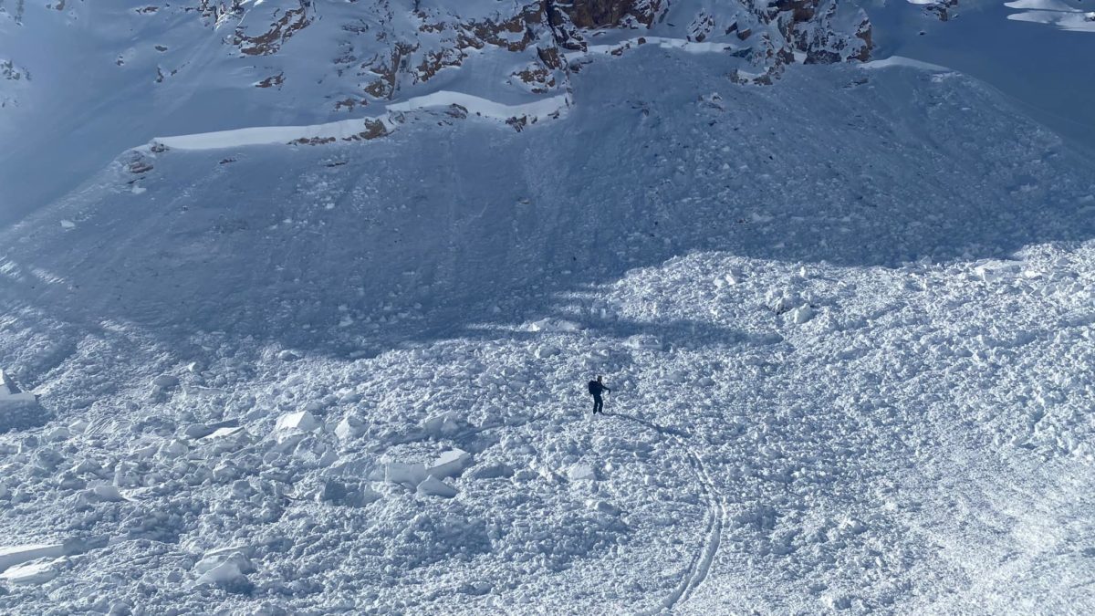
PARK CITY, Utah — The Utah Avalanche Center (UAC) has issued an Avalanche Watch for the Wasatch Range, and the Uinta Mountains through Friday at 6 am.
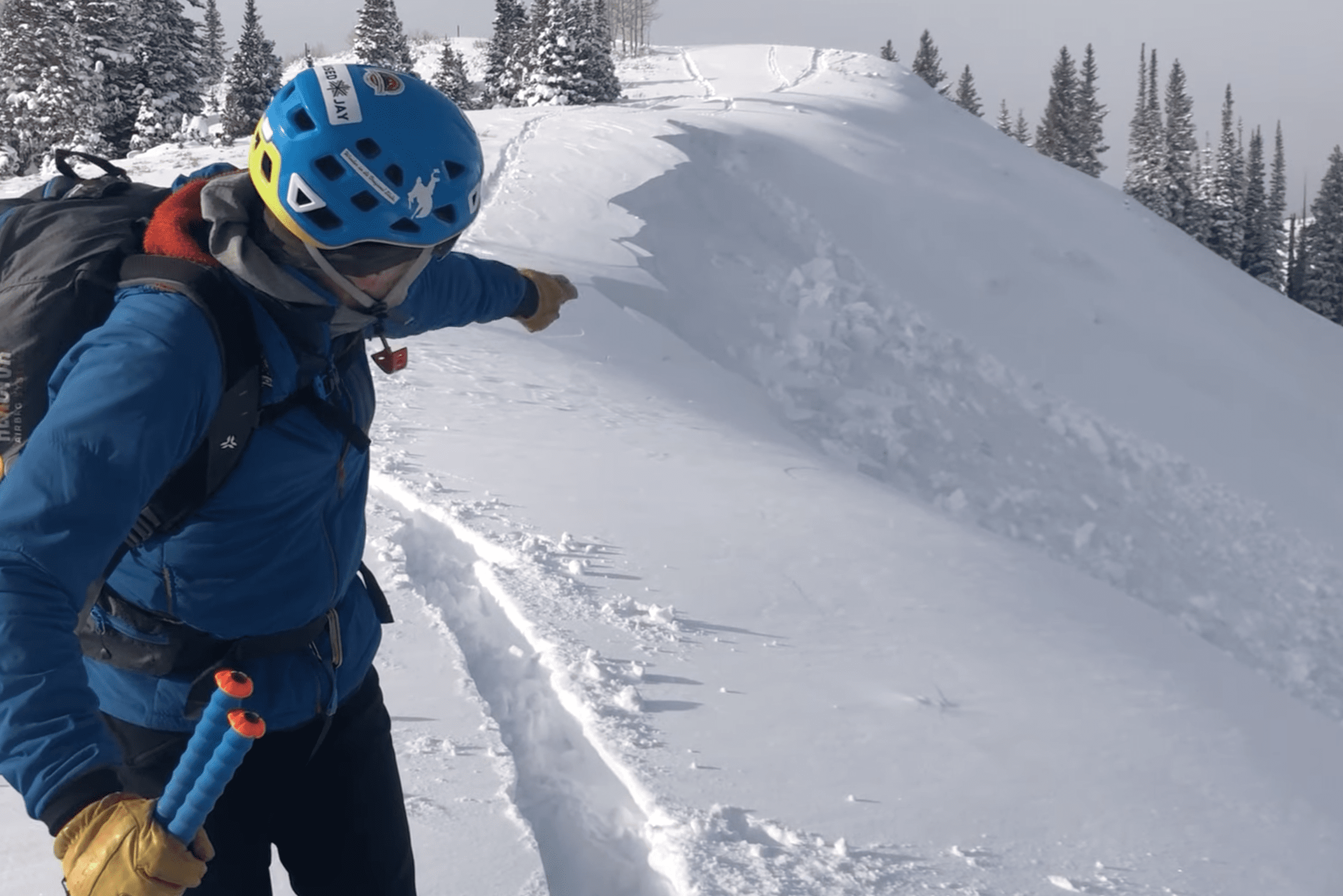
“Heavy, dense snowfall and strong winds will likely create very dangerous avalanche conditions,” UAC said. “Both human triggered and natural avalanches are likely. Stay off of and out from under slopes steeper than 30 degrees.”
UAC said they expect peak precipitation on Thursday night to average 2″ of snow per hour. Winds could reach gusts up to 55 mph at mid-elevations and up to 80 mph at upper elevations.
“There is still plenty of good riding to be found in the backcountry. Southerly slopes have begun to crust over with the multiple days of sunshine, but any shaded terrain still holds soft cold snow. With these past few cold-clear nights, the surface snow in protected, non-solar facing terrain has begun to facet and weaken… as the next storm moves into the area, the new snow may bond poorly to the old snow in these areas or become another weak layer in the future.”
Backcountry travelers should consult utahavalanchecenter.org or call 888-999-4019 for more info.
By: TownLift

6110 E Blue Wing Loop
Kamas, UT 84036
760 E Edgehill Rd
Salt Lake City, UT 84103
1545 N Red Castle Circle
Heber City, UT 84032
1042 W Shoreline Drive
Layton, UT 84041
2304 N Cohonina Trail
St. George, UT 84770
3764 Prickly Pear Circle, Unit 5-A6
Moab, UT 84532Talk of the Town


Park City Jobs

Equestrian Stall Cleaner/Feed - EVENINGS, Part-time, SkyRidge
Today Part time $22.00 hourly
Barista/ Cashier, chomp donuts
1 day ago Full time $17.00 - $25.00 hourly
Pastry chef/ Donut Chef, chomp donuts
1 day ago Full time $55,000 - $75,000 yearly
Donut chef/ maker, chomp donuts
1 day ago Full time $17.00 - $24.00 hourly
Content and Social Media Specialist, National Ability Center
1 day ago Full time $50,000 - $52,000 yearly