Wasatch Back could see heavy rainfall, possible snow as El Niño sends Pacific moisture inland


PARK CITY, Utah — If you’re planning outdoor autumn activities this weekend, make sure to keep an eye on the weather.
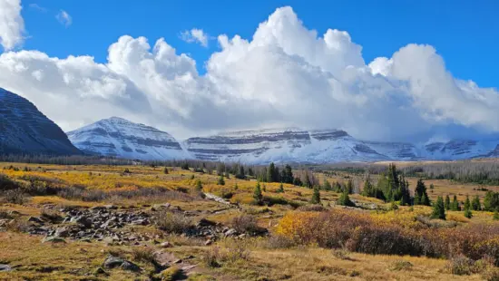
A decaying hurricane moving north from the Pacific is expected to funnel moisture into the interior West starting Saturday evening and continuing into next week, so you can expect wet weather and the potential for the season’s first significant mountain snowfall.
OpenSnow forecasters are predicting “significant precipitation to the Rockies late this weekend and early next week.” Snow is likely to accumulate at higher elevations across Utah, western Wyoming, and Montana, with the heaviest totals expected farther north.
For the Wasatch Back, the timing could mean rain at lower elevations and snow in the mountains, although snow levels are expected to fluctuate throughout the week.
Snow levels Saturday and Sunday could remain as high as about 12,000 feet, according to OpenSnow. A second wave of moisture arriving around midweek is expected to bring colder temperatures and better chances for snow at lower elevations.
By Wednesday, a second wave of moisture is expected to drop snow levels significantly across the mountains as a low-pressure system moves through the region.
The moisture comes in part from Hurricane Rachel, which is currently spinning out in the Pacific Ocean.
The Los Angeles Times reported Thursday that Rachel is the latest named storm in an unusually active, El Niño-fueled hurricane season.


4251 E Lipizzan Jump
Moab, UT 84532