Weather
Storm to roll through Utah, bringing dry spell to an end
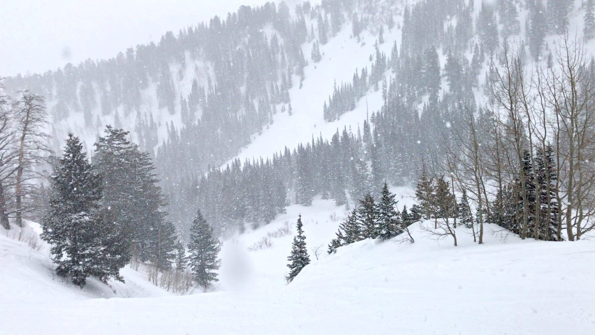
Pow Day at Alta Ski Resort Photo: (TownLift // Kevin Cody)
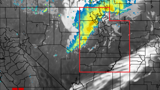
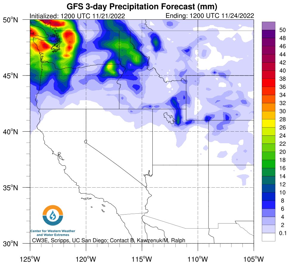
PARK CITY, Utah — November has been an up-and-down month for snow in Utah and the Wasatch, as the last measurable snowfall occurred over a week ago. Things are changing as PowderChasers forecasts, not one, not two, but three storms to bring snowfall to the West, with the first wave starting Monday evening but will not reach Utah till Wednesday.
The first storm is expected to bring two to five inches of snow between Wednesday and Friday, along with cooler temperatures allowing for the snowline to be below base elevations. The second storm will reach the Northwest on Thursday but will likely stay north of Utah.
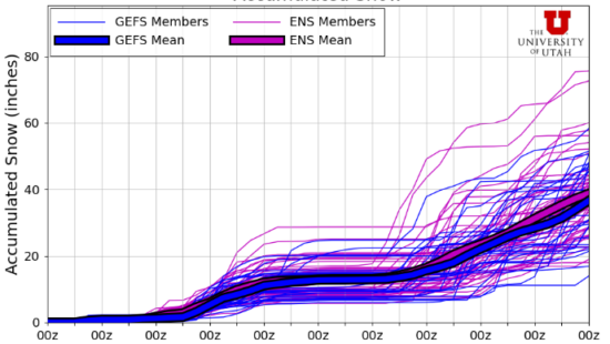
The potential big storm for Utah is the third wave that could produce large snow totals. The storm is still a week away, meaning possible changes to the forecast could happen.
By: Kevin Cody

7457 Buckboard Drive
Park City, UT 84098
2154 S Rio Verde
Moab, UT 84532
2475 W White Pine Lane
Park City, UT 84060
137 W Bridlewood Lane
Midway, UT 84049
2400 E Walker Lane
Holladay, UT 84117Talk of the Town


Park City Jobs
Part Time Dishwasher and Prep Cook, Rebekah's Kitchen
Today Part time $13.00 - $18.00 hourly

Head of Maintenance, Ptarmigan Property Services
3 days ago Full time $70,000 - $85,000 yearly