Weather
Frost warning issued for Thursday night into Friday morning

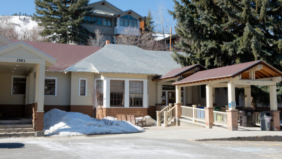
The National Weather Service in Salt Lake City has issued a frost warning for Thursday night in Friday morning. Photo: TownLift.
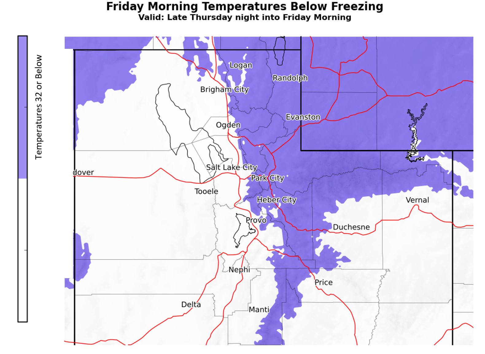
SUMMIT COUNTY, Utah. — According to the National Weather Service in Salt Lake City, a frost warning has been issued throughout Summit County for Thursday night into Friday morning.
Temperatures are anticipated to drop to or below 32 F Thursday night into Friday morning with the potential of continued low temperatures on Saturday morning. Patchy frost is possible across most of the Wasatch Front, Sanpete and Sevier Valleys as well.
Park City forecast:
Thursday Night
A chance of rain showers before 9 p.m., then a chance of snow showers between 9 p.m. and midnight. Mostly cloudy, with a low around 26 and Northwest winds from 14 to 17 mph. Chance of precipitation is 30%. Little or no snow accumulation is expected.
Friday
A 30% chance of snow showers after noon. Some thunder is also possible. Mostly sunny, with a high near 41 and Northwest winds from 11 to 13 mph. New snow accumulation of less than a half inch possible.
Friday Night
A 20% chance of snow showers before midnight. Partly cloudy, with a low around 26.
Saturday
Sunny, with a high near 50.
Saturday Night
Partly cloudy, with a low around 35.
By: TownLift

4539 S Willow Road
Holladay, UT 84117
19 East 100 North
Spring City, UT 84662
24 South 600 East
Salt Lake City, UT 84102
965 Goshen Canyon Road
Mona, UT 84645
10584 Basin Canyon Road
Park City, UT 84098Talk of the Town


Park City Jobs

Assistant Manager, LOMA
6 days ago Full time $35.00 hourly
Property Inspector, Park City Rental Properties
7 days ago Full time $23.00 - $25.00 hourly
Owner Relations Manager, Park City Rental Properties
7 days ago Full time
Operations Manager, Park City Rental Properties
7 days ago Full time

Hiring Barista Assistants and Baristas, Silver King Coffee
10 days ago Part time $17.00 - $30.00 hourly