Weather
Chance of storms over the weekend
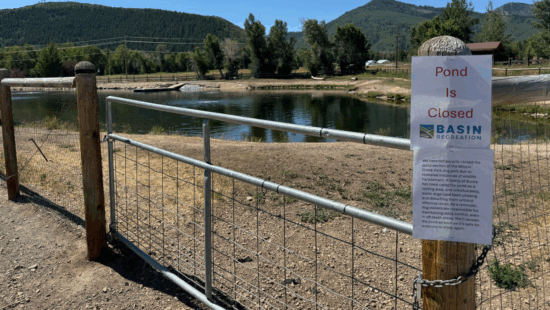
Much of northern Utah is now in a marginal risk for severe thunderstorms. Photo: Liv Bruce
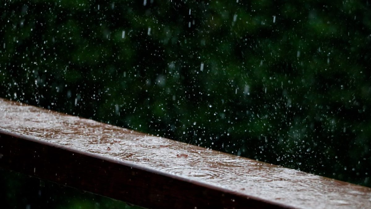
PARK CITY, Utah — Be prepared for potential rain, lightning, and wind on Friday night.
Gusty winds from mainly high-based showers and thunderstorms will be the main hazard on Friday.
There are a lot of outdoor events across northern Utah this afternoon and evening. Before you leave for fairs, football games or outdoor concerts, check the forecast and be prepared for rain, lightning and wind. #utwx
— NWS Salt Lake City (@NWSSaltLakeCity) September 10, 2021
An increase in shower and thunderstorm activity is forecast to develop tonight over northern Utah in conjunction with a cold front.
Isolated showers and thunderstorms will likely continue across central and northern Utah and SW Wyoming through Saturday.
Ready for some good news in the smoke department Utah?
Expect to see smoke concentrations continue to improve into the weekend. #utwx pic.twitter.com/xF5GYUalhp
— NWS Salt Lake City (@NWSSaltLakeCity) September 10, 2021
Below is the forecast from the National Weather Service:
By: TownLift

6110 E Blue Wing Loop
Kamas, UT 84036
1042 W Shoreline Drive
Layton, UT 84041
1545 N Red Castle Circle
Heber City, UT 84032
760 E Edgehill Rd
Salt Lake City, UT 84103
3764 Prickly Pear Circle, Unit 5-A6
Moab, UT 84532
2304 N Cohonina Trail
St. George, UT 84770Talk of the Town


Park City Jobs
Soccer Coach August Through October (Mon - Thu 3:15pm - 5:15pm), City League PC
Today Part time $25.00 hourly

Tour Guide & Driver Park City, Heber Valley &, Midway PT, Park City Travel and Tours LLC
1 day ago Contractor $15.00 - $18.00 hourly
Technician, Trails, Basin Recreation
1 day ago Full time $49,927 - $62,409 yearly
Education Coordinator and Summer Camp Manager , Kimball Art Center
1 day ago Full time $23.00 hourly

Digital Marketing Associate, Park City Community Foundation
4 days ago Contractor $24.00 - $27.00 hourly