Environment
Utah snowpack hovers near record lows as water officials warn of poor runoff season
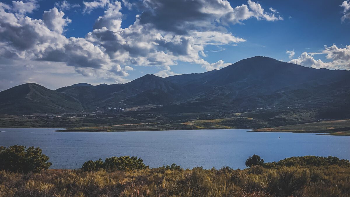
The Jordanelle Reservoir. Photo: TownLift
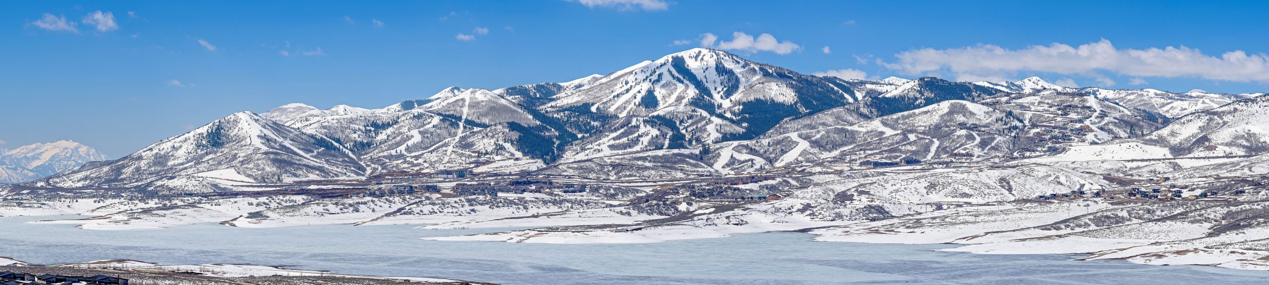
SALT LAKE CITY, UT — Utah’s snowpack is hovering near record-low levels despite a modestly wet February, and federal water officials are warning that spring and summer runoff could fall far short of normal across most of the state.
The March 1 Water Supply Outlook Report from the Natural Resources Conservation Service paints a stark picture: statewide snow water equivalent sits at just 61% of the median, with 29 of Utah’s 140 SNOTEL monitoring sites reporting their lowest readings on record as of March 5. Another 11 sites are at their second-lowest levels — meaning roughly 30% of the state’s snowpack monitoring network is tracking its worst or second-worst conditions ever observed.
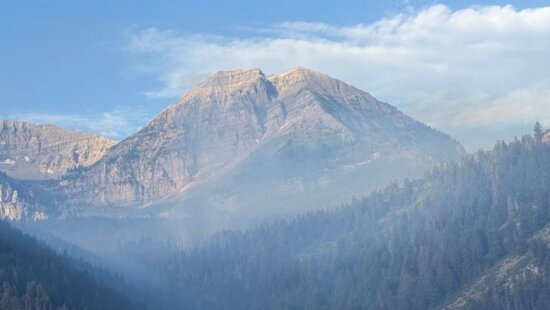
The problem, according to the report, is not simply a lack of storms. Record winter warmth has pushed rain-snow lines higher in the mountains, concentrating whatever snow exists at the highest elevations while leaving mid-elevation terrain largely bare. The contrast is dramatic: Spirit Lake SNOTEL, perched at 10,240 feet on the north slope of the Uinta Mountains, reported 9.0 inches of snow water equivalent on March 1, or 97% of normal. Just to the north and roughly 1,100 feet lower, the Hickerson Park SNOTEL held only 3.5 inches — 56% of normal and in the bottom 5th percentile of its 41-year record.
Six of Utah’s major basins have hit record-low snow water equivalent: Raft, Tooele Valley-Vernon Creek, Southeastern Utah, Dirty Devil, and the Upper and Lower Sevier. Most other basins are hovering near their records, the report states. Only the Bear and Duchesne watersheds are faring somewhat better, though both remain well below normal.
The snowpack conditions are creating significant challenges for runoff modeling. NRCS forecasts for April through July snowmelt volume range from 21% to 83% of average at the 50th exceedance probability level. But the agency is urging water users to plan for the lower end of the range, noting that the 70th exceedance probability forecasts — spanning 7% to 77% of average — may offer more realistic guidance this year.
The reason for the added caution: there are no good historical analogs for this winter. The unusual combination of snow concentrated only at the highest elevations, along with a wet but snow-free October, may be producing overly optimistic model outputs, the report states. Forecast teams have attempted to adjust by using snow-water-equivalent-only predictor sets and focusing on recent precipitation, but the agency acknowledges the challenge remains unresolved.
At the 70th exceedance probability level, several waterways face potentially historic lows. Seven Mile Creek near Fish Lake could see its worst runoff season on record. Mill Creek at Sheley Tunnel near Moab and East Canyon Creek near Jeremy Ranch are on track for their second-lowest. Even under the most optimistic scenarios, the Price-San Rafael, Dirty Devil, and Strawberry River headwaters would still come in well below average.
February brought above-normal precipitation statewide, at 105% of the monthly average, pushing the water-year-to-date total to 98% of the median. Mountain soil moisture is elevated at 57% of saturation — up 12% from this time last year and at roughly the 95th percentile of observations. But much of that moisture came as midwinter rain rather than snow. Utah’s current reservoir storage stands at 66% of capacity, excluding Lake Powell and Flaming Gorge, down 12% from a year ago.
Surface Water Supply Indices, which combine reservoir storage with anticipated runoff, project below-normal conditions across all areas of the state except the Bear and Price watersheds. Twelve basins fall in the bottom 25th percentile of historical observations. Conditions are particularly concerning in the San Pitch, Sevier, and Beaver basins, as well as across much of eastern and southeastern Utah.
In the Great Salt Lake basin, snow water equivalent sits at 61% of the median. February precipitation came in at 106% of normal, and water-year-to-date precipitation is tracking at the median. Reservoir storage in the basin is at 70% of capacity, down 12% from last year. The projected April-through-July inflow at the 70th exceedance level is 260,000 acre-feet, or 36% of average. The agency estimates the lake could rise anywhere from not at all to an additional foot from its March 1 elevation of 4,192 feet.
The NRCS emphasized that its estimates of Great Salt Lake inflows and lake-level rise are advisory only. But the broader message of the March report is clear: Utah should prepare for a water year defined by scarcity, with the real possibility of record-low runoff in multiple basins.
By: Rebecca Brenner

597 Deer Valley Loop Road
Park City, UT 84060
137 W Bridlewood Lane
Midway, UT 84049
2475 W White Pine Lane
Park City, UT 84060
2154 S Rio Verde
Moab, UT 84532
2400 E Walker Lane
Holladay, UT 84117Talk of the Town


Park City Jobs

Architect/Architectural Designer, Vera Iconica Architecture
1 day ago Full time $60,000 - $95,000 yearly

Assistant Pit Master, Lush's BBQ
1 day ago Part time $20.00 - $25.00 hourly

Chef de Cuisine, Washington School House Hotel
2 days ago Full time $50,000 - $60,000 yearly
Housekeeper, Washington School House Hotel
2 days ago Full time $20.00 - $22.00 hourly