Environment
Officials clarify costs as Utah rolls out new wildfire preparedness fees
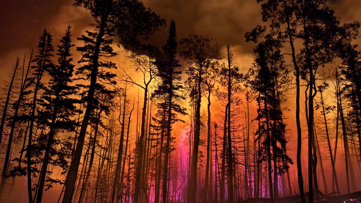
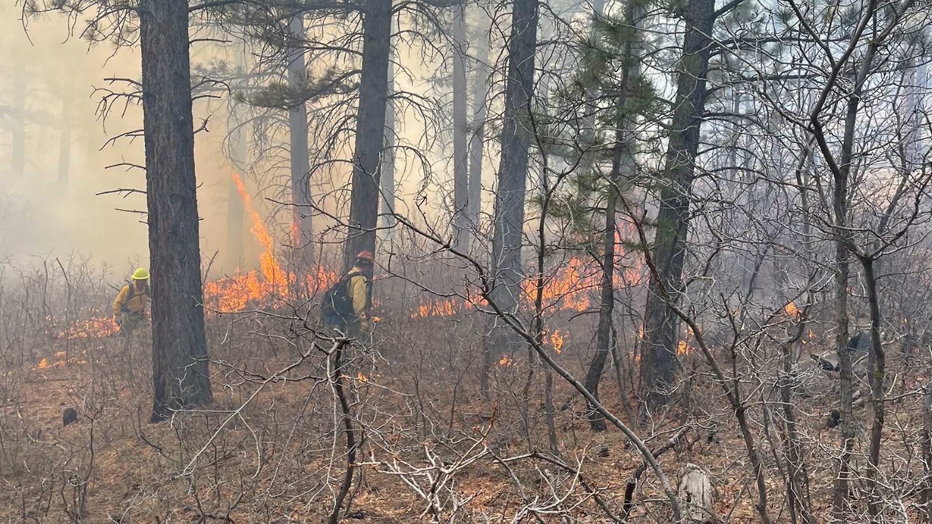
The Monroe Canyon Fire blazes near Monroe, Utah, July 16, 2025. Photo: Hurricane Valley Fire District via AP
PARK CITY, Utah — A new Utah law will require homeowners in areas at high risk of wildfire to pay an annual fee to support a statewide program that standardizes wildfire risk assessments and helps communities better prepare for wildfires.
Summit County Manager Shayne Scott commented, “The primary desire of Summit County at this time is to inform those who find themselves in these wildland fire vulnerable areas about this state requirement and how they might minimize their susceptibility to fire, and thus their fee at the same time.”
This month, officials from the Utah Division of Forestry, Fire, and State Lands are hosting public meetings throughout the state to gather public input as they finalize how the program will be implemented.
Annual homeowner fees
At the beginning of the meeting, division director Jamie Barnes addressed common misconceptions about the bill, particularly around the cost of the new fees. “There’s been a lot of rumors about fees being thousands of dollars or hundreds of thousands of dollars,” Barnes said. “The fees are not thousands of dollars. They are not hundreds of thousands of dollars. The division’s not looking to make money off of this.”
Joseph Anderson with the division announced that in the first two years, the fees will range from $20 to $100 per property, depending on square footage. The funds collected will go toward launching Utah’s new Wildfire Preparedness Program, which applies to homes in designated high-risk areas known as the Wildland Urban Interface (WUI).
Anderson cited recent fires across the West — including Colorado’s Marshall Fire and California’s Palisades Fire — as examples of how quickly blazes can jump from home to home in dense neighborhoods. “Utah has the same potential for catastrophic wildfire. We are not an exception to the rule,” said Anderson.
Protecting high-risk homes
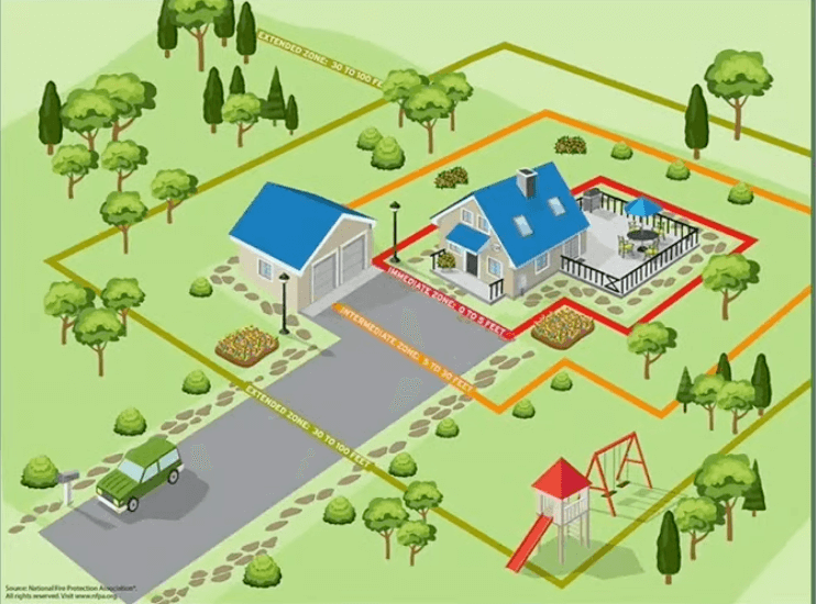
The legislation aims to reduce that risk by assessing individual properties in high-risk areas and educating homeowners on how to better protect their homes. That includes creating defensible space between structures and vegetation, and “home hardening” by using ignition-resistant materials and designs to prevent embers from igniting homes.
Trained employees of the division will conduct the property evaluations over the next two years, at which point the fee structure may become more specialized based on each property’s risk level.
The division also announced they are currently developing a high-risk WUI boundary map that will determine which properties are subject to the fee. That map will be finalized by January 1, 2026, though they did share an unfinished draft at the meeting.

Impact on home insurance
The law also requires property insurers to use the state’s high-risk WUI map when setting rates or deciding whether to renew coverage. “The key here is uniformity,” said Anderson.
Under House Bill 48, all properties in WUI areas will be assessed using a single, state-developed high-risk wildfire map, replacing the patchwork of different methods previously used and bringing greater consistency and transparency to insurance decisions.
Looking ahead
Officials said public input will continue as the administrative rules are finalized over the coming months. Once the map is complete, property owners within the high-risk boundary will receive notice of the fee in early 2026. Starting in 2028, properties without a lot assessment will be classified at the highest risk level.
“We have a shared responsibility in taking care of wildfire in the high-risk WUI,” Barnes said. “This program is about helping homeowners understand what they can do to protect their homes and communities.”
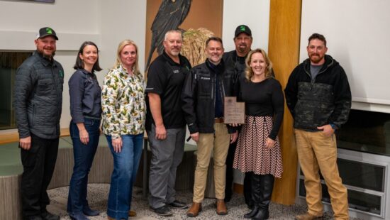
By: Heather Bergeson

325 White Pine Canyon Road
Park City, UT 84060
80 West 300 North
Salt Lake City, UT 84103
2349 S Lava Vista Drive, Lot 32
Santa Clara, UT 84765
438 Castle Valley Drive
Castle Valley, UT 84532
3267 W Deer Hollow Road, Unit 2305
Park City, UT 84060
1511 S Valley View Circle
Springville, UT 84663Talk of the Town


Park City Jobs

Hiring Barista Assistants and Baristas, Silver King Coffee
3 days ago Part time $17.00 - $30.00 hourly
General Maintenance Technician, Moose Management Vacation Rentals
7 days ago Full time

Office Coordinator, Park City Community Foundation
10 days ago Full time $50,000 - $55,000 yearly

Summit Land Conservancy Programs Specialist, Summit Land Conservancy
10 days ago Full time
Vice President of Finance, Park City Community Foundation
10 days ago Full time $115,000 - $130,000 yearly