Weather
Miracle March set to bring two more feet of snow to Wasatch mountains by Friday
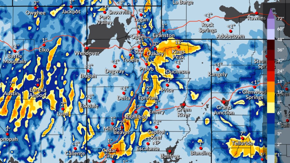
Expected Snowfall through 6 a.m. Friday March 14 Photo: NWS
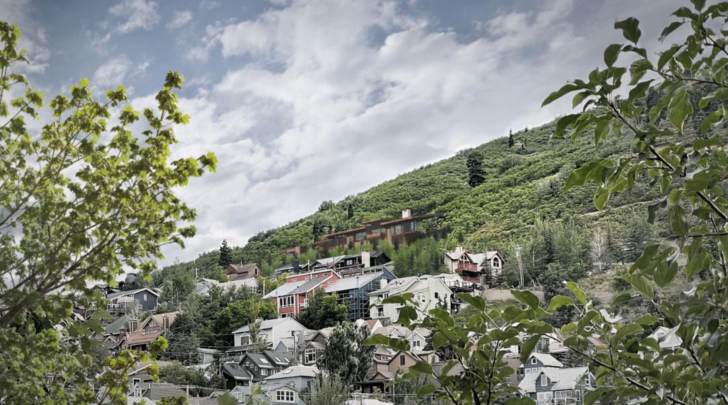
PARK CITY, Utah — March snowfall in Utah can be unpredictable, but this year is shaping up to be a classic “Miracle March.” Despite recent warm and sunny weather, the Wasatch Mountains have already seen impressive snowfall, with the last storm—ending on March 7—delivering several feet of fresh snow.
The next storm system is expected to arrive early Thursday morning around 3:00 a.m., bringing significant accumulation through Friday.
Ski Resort Forcasted Snow Totals Through Friday March 14
| Location | Low-End Amount | Expected Amount | High-End Amount |
| Alta, UT | 15″ | 23″ | 28″ |
| Brighton Resort, UT | 12″ | 19″ | 22″ |
| Canyons Village, UT | 6″ | 11″ | 14″ |
| Deer Valley, UT | 5″ | 10″ | 12″ |
| Park City Mountain Resort, UT | 7″ | 12″ | 15″ |
| Snowbasin Resort, UT | 2″ | 6″ | 8″ |
| Snowbird Ski and Summer Resort, UT | 16″ | 24″ | 29″ |
| Solitude Mountain Resort, UT | 11″ | 18″ | 21″ |
In town we will see 3 – 5″ of snow Thursday night.
Another wave is expected Friday night into Saturday, adding 4–8 inches in the Cottonwood Canyons, with temperatures remaining low.
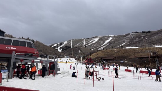
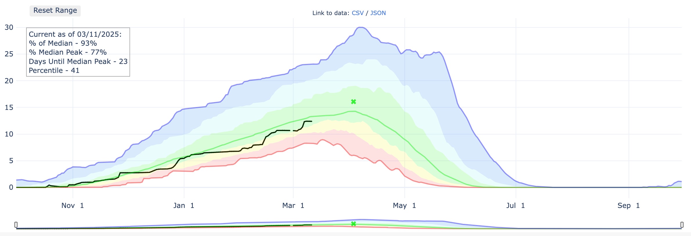
Currently, Utah’s snowpack sits at 93% of its 30-year median average. However, this incoming system could push it above average for the 2024–25 season. Park City Mountain is reporting 220″ for the season, Deer Valley at 205″ and Alta had just crested 400″ reporting 402″.
By: TownLift

325 White Pine Canyon Road
Park City, UT 84060
2349 S Lava Vista Drive, Lot 32
Santa Clara, UT 84765
438 Castle Valley Drive
Castle Valley, UT 84532
1511 S Valley View Circle
Springville, UT 84663
80 West 300 North
Salt Lake City, UT 84103
3267 W Deer Hollow Road, Unit 2305
Park City, UT 84060Talk of the Town


Park City Jobs

Hiring Barista Assistants and Baristas, Silver King Coffee
3 days ago Part time $17.00 - $30.00 hourly
General Maintenance Technician, Moose Management Vacation Rentals
7 days ago Full time

Office Coordinator, Park City Community Foundation
10 days ago Full time $50,000 - $55,000 yearly

Summit Land Conservancy Programs Specialist, Summit Land Conservancy
10 days ago Full time
Vice President of Finance, Park City Community Foundation
10 days ago Full time $115,000 - $130,000 yearly