Snow
Storm set to bring very dangerous avalanche conditions
by TownLift
Published: Last updated:
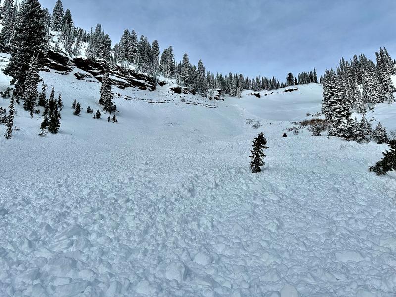
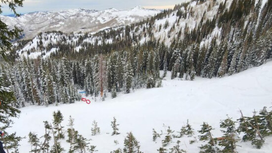
Two brothers are safe after being involved in an avalanche on Christmas Eve morning in the Steep Hollow area of Franklin Basin in Cache County. Photo: Utah Avalance Center
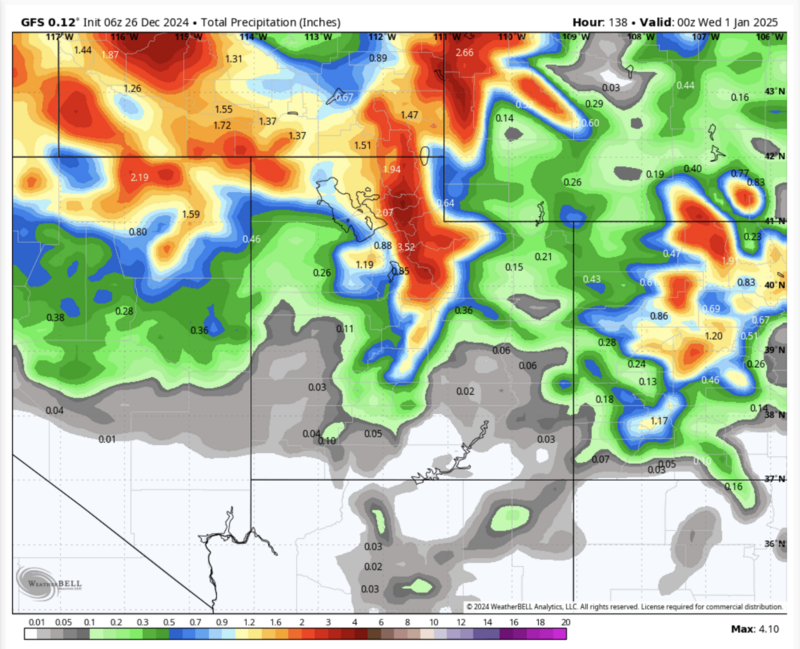
The Utah Avalanche Center (UAC) has issued an Avalanche Watch extending through the weekend and into next week, with a series of storms forecasted to bring 15–30 inches of snow and strong winds to area mountains through Monday.
“Heavy snowfall and drifting by strong winds will elevate backcountry avalanche danger over the next several days,” the UAC warns. “Very dangerous conditions and HIGH avalanche danger are expected to develop in many areas.”
Similar Reads On TownLift
Currently, the UAC reports MODERATE avalanche danger across most mid-elevation northerly facing slopes and upper-elevation southeast and west slopes. Avalanches 1–3 feet deep could be triggered on a persistent weak layer of faceted snow.
Backcountry travelers are advised to avoid steep terrain at mid and upper elevations. Always carry avalanche rescue equipment and ensure you know how to use it.
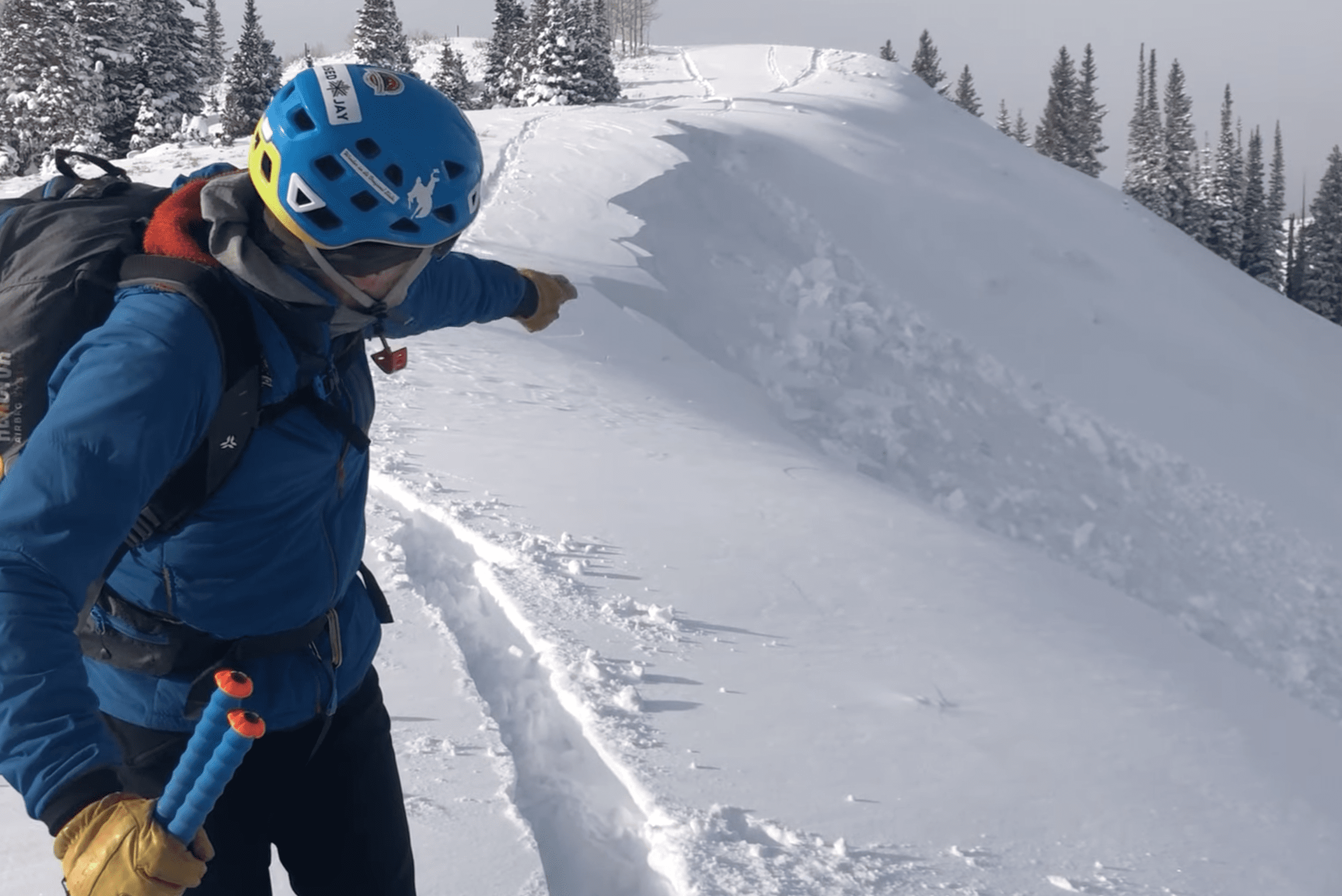
A recent snowpit test on the Park City ridgeline, shared by @utahavyjobs, highlighted the instability. The observer noted a large collapse on a northeast-facing slope and conducted pit tests. They reported that “most of the snowpack is weak and faceted, but the previous week of warm temperatures must have helped consolidate the upper pack enough to form a slab.” A column test failed after just two light taps. Closer to the ridgeline, the snowpack was more than two feet deep, with a harder slab about a foot thick. Both tests failed on 1.5mm facets, with one recording an ECTP5 result.
On Tuesday Dec. 24 , there were two avalanches. One was a very close call in Logan, where a rider was fully buried. The other was a skier-triggered slide in Upper Little Cottonwood.
Similar Reads On TownLift
- TAGGED:
- Avalance
- UAC
- LOCATION:
- Park City, Utah
By: TownLift
Contact: info@townlift.com
The TownLift News Desk specializes in delivering concise, accurate, and community-focused news for Park City, Utah. Our expertise is in covering local stories that matter most to the Park City community.
Submit a news tip, Share a photo or video, or contact TownLift with your local Park City news and feedback.


325 White Pine Canyon Road
Park City, UT 84060
3267 W Deer Hollow Road, Unit 2305
Park City, UT 84060
1511 S Valley View Circle
Springville, UT 84663
80 West 300 North
Salt Lake City, UT 84103
438 Castle Valley Drive
Castle Valley, UT 84532
2349 S Lava Vista Drive, Lot 32
Santa Clara, UT 84765Talk of the Town
Park City Jobs
Hiring Barista Assistants and Baristas, Silver King Coffee
5 days ago Part time $17.00 - $30.00 hourly
General Maintenance Technician, Moose Management Vacation Rentals
9 days ago Full time
Office Coordinator, Park City Community Foundation
12 days ago Full time $50,000 - $55,000 yearly
Summit Land Conservancy Programs Specialist, Summit Land Conservancy
12 days ago Full time
Vice President of Finance, Park City Community Foundation
12 days ago Full time $115,000 - $130,000 yearly
