Weather
Above-average snowpack levels are starting to make an impact in Utah’s severe drought areas

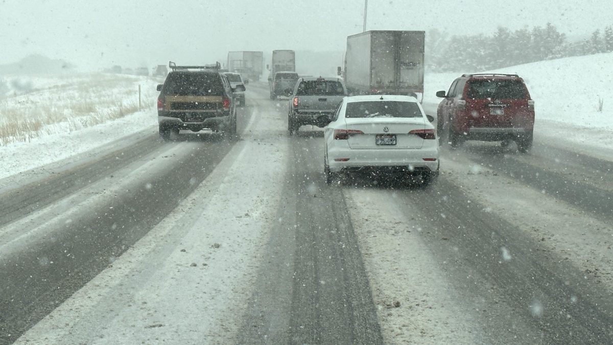
Driving on I-80 between Parleys and Kimball Junction. Photo: TownLift // Kevin Cody
UTAH — The 2022-23 winter season has already made an impact by putting Utah’s snow water equivalent well above average for this time of year.
Although this heavy snow will not make up for multiple years of severe drought all at once, it will set the state on the correct path away from drought conditions. As of January 2, the statewide median for snow water equivalent is 169% above average. Typically, snowpack levels would not reach this high until mid-February.
Adequate snowpack levels are essential for healthy ecosystems to survive around the state. According to the U.S. Drought Monitor, every part of the state is still experiencing some degree of drought conditions. Over the last month, the areas labeled as Extreme Drought have started to shrink, going from around 50% of the state to only 31%.
2022 was the 18th driest year in the past 128 years. Only two days into 2023, with more snow on the horizon, one can only hope snowpack levels continue to rise.
❄Snowpack update ❄
The state-wide snow water equivalent has soared to 169% of median as of 1/2
The basin by basin average as of 1/1 are all well above normal (and later today's update should be even more above normal). #utwx pic.twitter.com/8WbWORrFFx
— NWS Salt Lake City (@NWSSaltLakeCity) January 2, 2023


