Park City Snow & Weather Report


Deer Valley Resort
0″ 24 HRS
0″ 48 HRS
30″ Base
0° Temp
40° / 31° High / Low

Alta Ski Area
0″ 24 HRS
0″ 48 HRS
60″ Base
0° Temp
38° / 31° High / Low

Snowbird
0″ 24 HRS
0″ 48 HRS
58″ Base
0° Temp
45° / 30° High / Low

Snowbasin Resort
0″ 24 HRS
0″ 48 HRS
39″ Base
32° Temp
42° / 34° High / Low

Powder Mountain
0″ 24 HRS
0″ 48 HRS
32″ Base
32° Temp
36° / 33° High / Low

Brighton
0″ 24 HRS
0″ 48 HRS
67″ Base
0° Temp
37° / 28° High / Low

Solitude Mountain Resort
0″ 24 HRS
0″ 48 HRS
47″ Base
0° Temp
36° / 31° High / Low

Park City Mountain
0″ 24 HRS
0″ 48 HRS
40″ Base
0° Temp
38° / 31° High / Low
Snow report powered by Ski Utah - For a more detailed report visit skiutah.com/snowreport
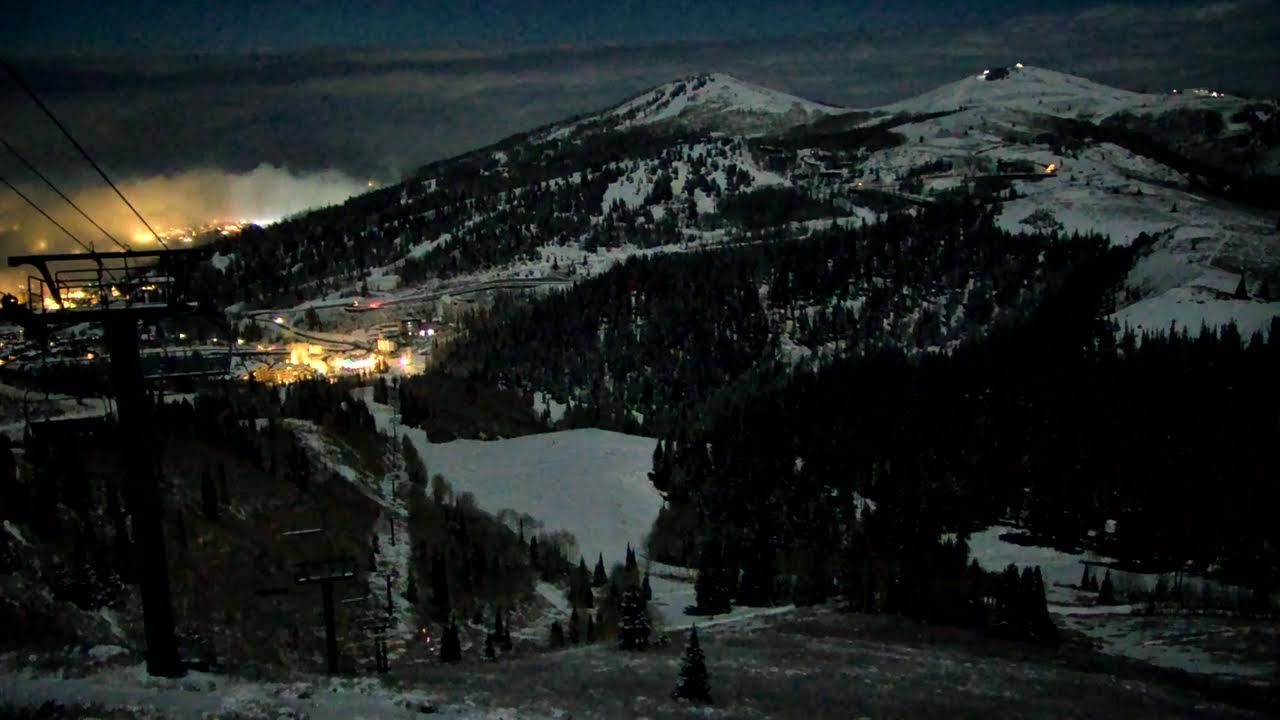
Empire Canyon Lodge
Deer Valley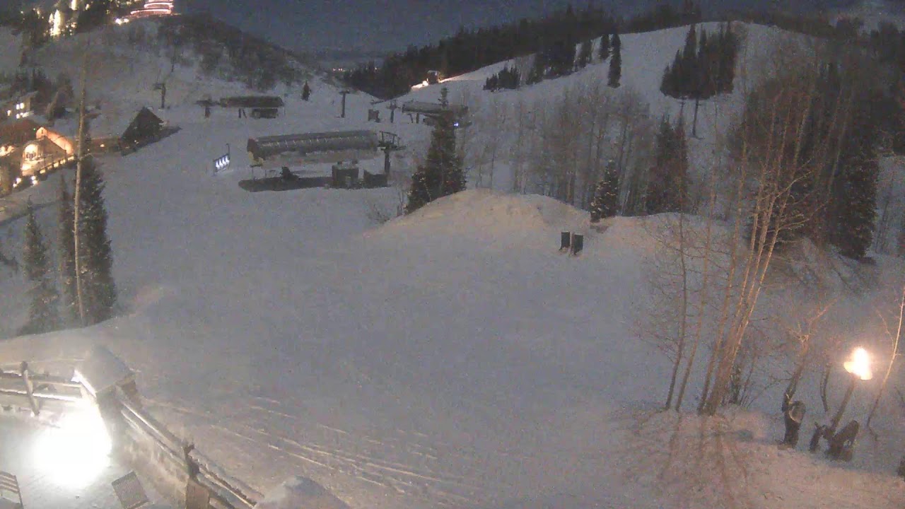
Steinlodge SkiCam
Steinlodge
Lookout Cabin
Park City Mountain
Top Crescent Camera
Park City Mountain
Mountain Village Camera
Park City Mountain
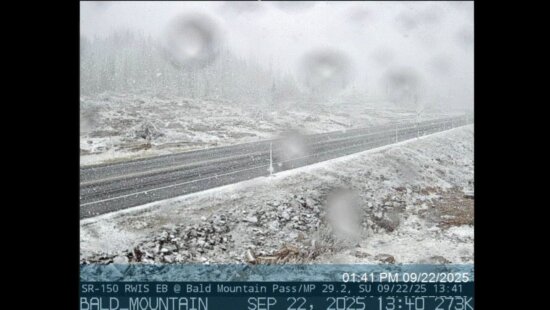
Parleys Canyon
UDOT: Parley's Canyon @ East Canyon on I-80
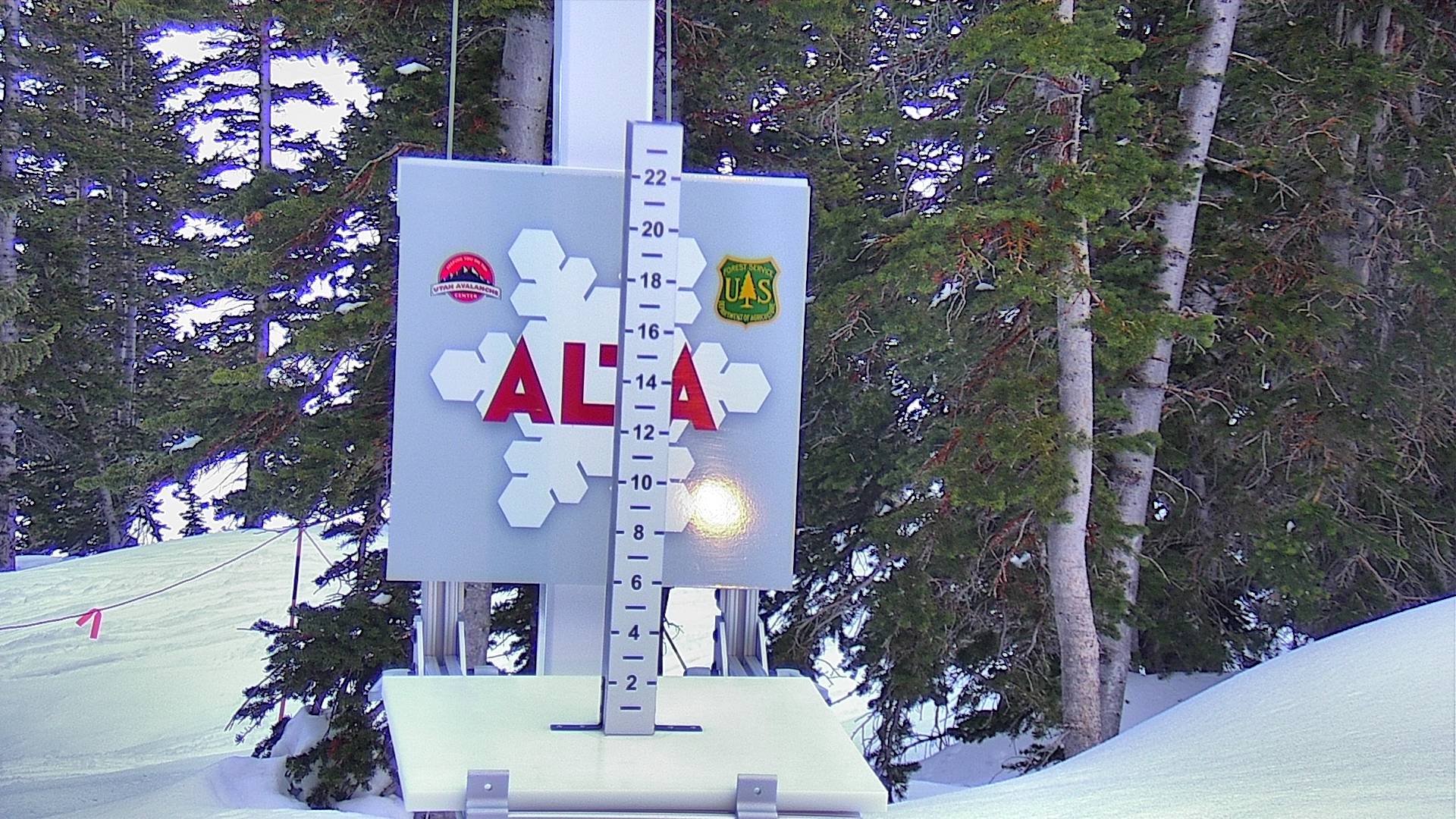
Alta Snow Stake
AltaSnowbird Snow Stake
SnowbirdSnowbasin Snow Stake
SnowbasinWed
Clear
45°/22°
Thu
Clear
50°/35°
Fri
Clouds
51°/37°
Sat
Clouds
46°/36°
Sun
Clouds
47°/34°
Mon
Snow
45°/32°