PC School District says there’s no Trailside development to oppose as petition tops 1,000

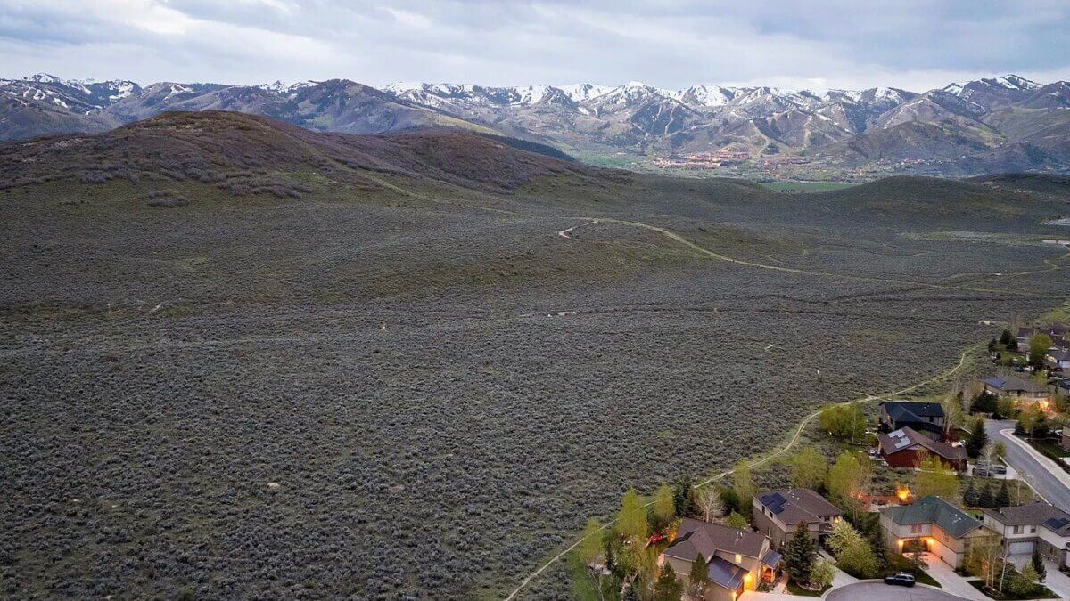
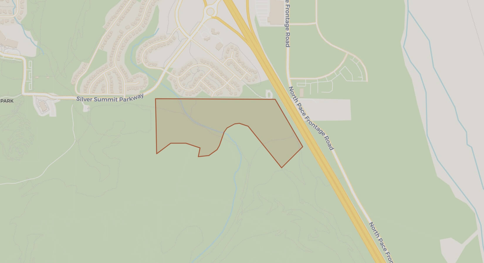
PARK CITY, Utah — The Park City School District says no decisions have been made about the future of its 55-acre Trailside property, pushing back on characterizations of an active development proposal as organized opposition to a conceptual housing presentation continues to grow.
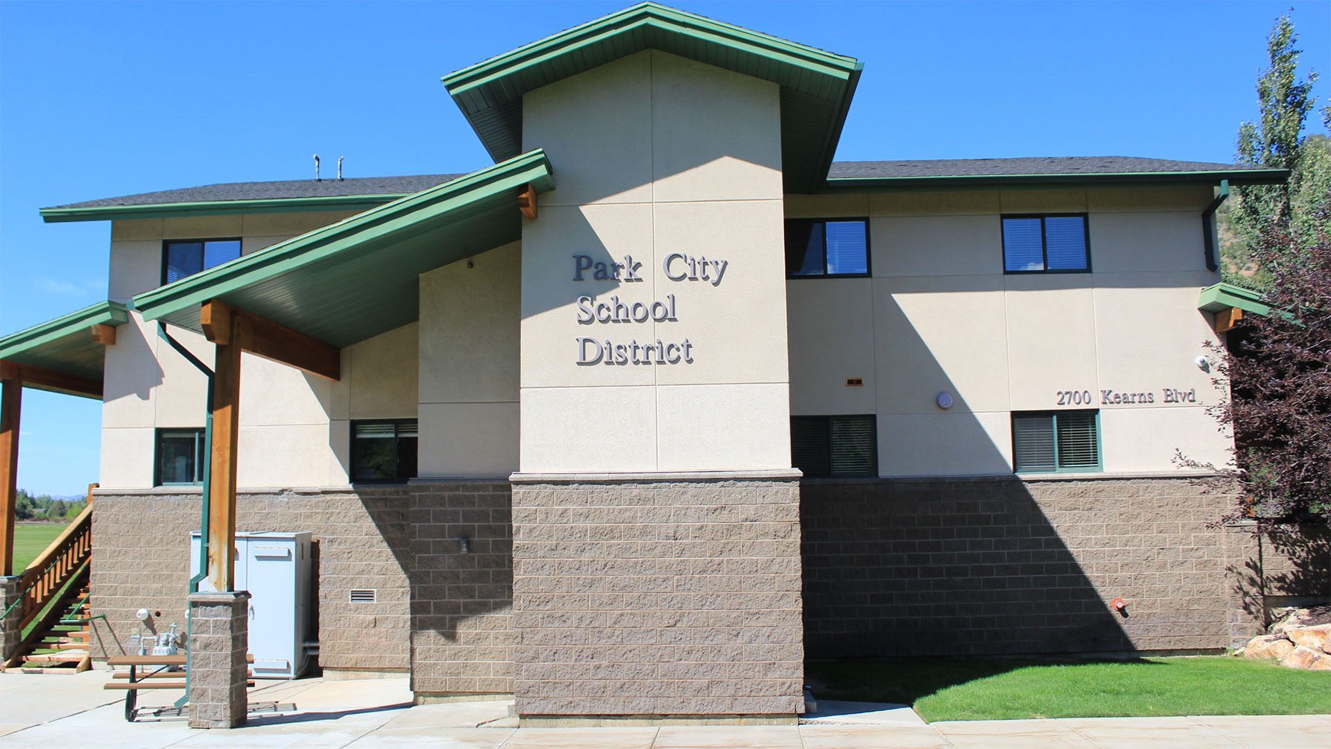
In a statement released this week, the district said a June 16 presentation to the Board of Education by the YMCA of Northern Utah and nonprofit developer Mercy Housing was “informational only,” and that the board did not vote on the concept, direct staff to pursue it or make any decision regarding the property.
The presentation, marked “draft only,” contains no site plan for the parcel.
“No decisions or commitments have been made regarding the future of the Trailside property, and any potential plans for District land will always involve public discussion and opportunities for community input.” The Board of Education said in the statement.
The statement comes as Trailside Together, a coalition of residents opposing the concept, reports more than 1,000 petition signatures since launching in late July following the June presentation. The group’s website describes the concept as a proposed 200-unit development and urges residents to contact school board members, the Summit County Council and the Snyderville Basin Planning Commission, including pre-written letters asking planning commissioners to oppose a rezone of the parcel.
District officials also noted that presentations to the board do not signal endorsement.
The district’s statement described the Trailside parcel as one of several properties acquired over time to maintain flexibility for the long-term educational needs of a growing community, calling the practice a common way to respond to changing enrollment, educational priorities and community needs.
Coalition organizers have said their concern is location rather than housing itself. The group points to the parcel’s Rural Residential zoning, its position within what it describes as mapped wildlife habitat bordering the Round Valley open space preserve, a single access point via Highland Drive, and a county land prioritization analysis it says scored the site’s developability at 1 out of 10. The coalition also says the 2015 Snyderville Basin General Plan designated the parcel as preserved open space on its future land use map.
Should the board consider a specific proposal for any district-owned property, the district said, that discussion would occur during public meetings with opportunities for community input.


4251 E Lipizzan Jump
Moab, UT 84532