Weather
Weekend storm set to drop first significant snowfall of the season for the Wasatch
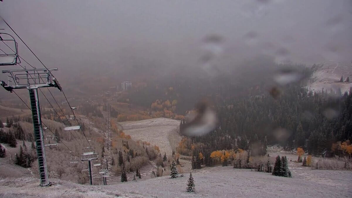
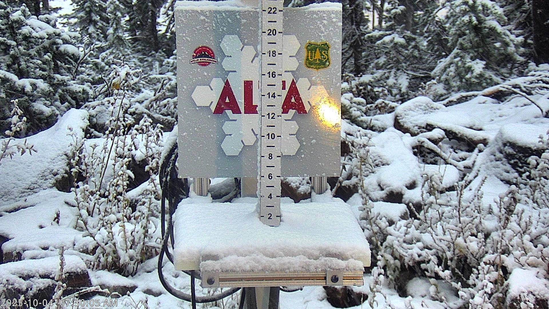
Dusting of snow at Empire Express Chairlift at Deer Valley Resort Oct 4, 2025. Photo: Deer Valley Resort
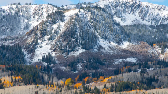
This will be a widespread event, bringing winter conditions to the higher elevations with snow totals approaching 7 inches in some areas.
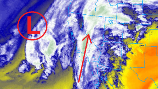
PARK CITY, Utah – A winter-like storm system is forecast to move through northern Utah this evening and into the weekend, bringing widespread snow to the upper elevations of the Wasatch Mountains. Scattered rain showers and thunderstorms will start to develop this morning and into the evening, before snow levels begin to drop as colder air funnels in overnight. The storm is coming in slightly warmer than previously anticipated, with snow levels expected to reach 9000 feet.
Sign up for First Chair a morning snow and weather email newsletter from TownLift
The main cold front is forecast to arrive late Saturday morning, along with the possibility of some embedded thunderstorms. Most of the precipitation will fall as rain even in the upper elevation mountains until the cold front moves through, potentially limiting snow accumulations. Snow totals are looking to be 3 – 7 inches for upper Little Cottonwood Canyon, and slightly lower on the Park City / Deer Valley side with 2 – 5 inches. The High Uintas will receive similar amounts, up to 5 inches of snow. Temperatures will drop about 20 degrees F in most northern Utah locations on Saturday, with overnight lows in the 30s in Park City.
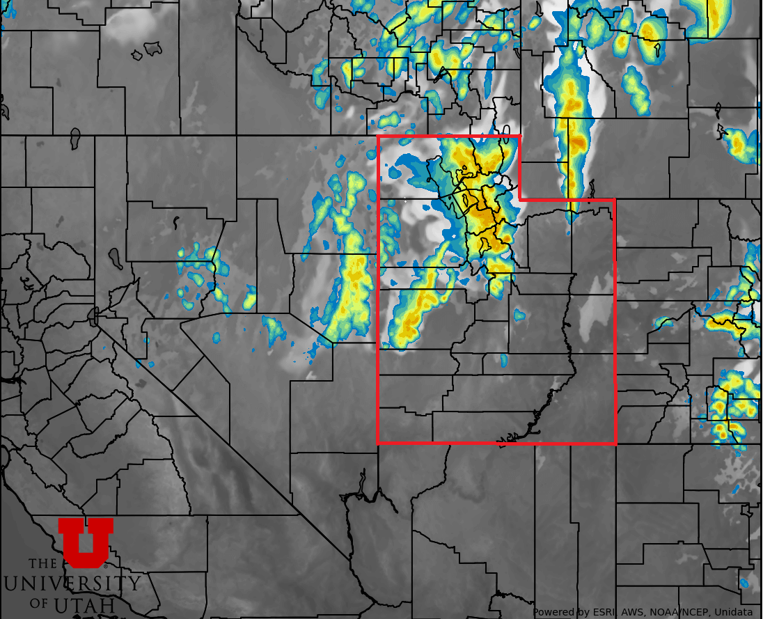
All in all, this will be a widespread event bringing winter conditions to the higher elevations for mountain ranges in northern Utah. With fall colors still peaking in many areas, the snowfall could provide some spectacular views on Sunday as the storm begins to dissipate, although some scattered showers may remain. According to UDOT’s website, all seasonal high elevation roadways are still open, such as Guardsman Pass and the Mirror Lake Highway.
Utah ski resorts announce 2025–26 opening dates
Utah ski resorts announce 2025–26 opening dates
By: Adam Lenkowski

2349 S Lava Vista Drive, Lot 32
Santa Clara, UT 84765
80 West 300 North
Salt Lake City, UT 84103
438 Castle Valley Drive
Castle Valley, UT 84532
3267 W Deer Hollow Road, Unit 2305
Park City, UT 84060Talk of the Town


Park City Jobs

Sales & Marketing Coordinator – B2B Publishing, Power Trade Media
1 day ago Full time $40,000 - $45,000 yearly

Computer / Website Assistant, Summit Support
6 days ago Part time $20.00 - $30.00 hourly

Garden Steward and Educator, Summit Community Gardens and EATS
6 days ago Seasonal
PROGRAM AND EVENT COORDINATOR, PC READS
6 days ago Part time $25.00 hourly
Development Manager, Blue Sky Utah
7 days ago Part time $28.00 - $32.00 hourly