Environment
SNAPPED: Snow up high and floods below; the Wasatch’s wettest weekend
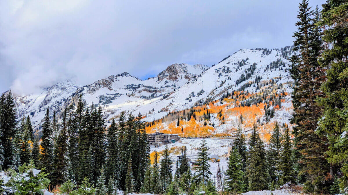
Photo: Adam Lenkowski
UTAH — An early season storm blew through the northern part of the state on Saturday, drenching Salt Lake Valley and delivering some early season powder to the peaks.
In Utah, the upper Wasatch peaks, from 10,000 to 11,000 feet, were among the hardest-hit areas. Snow accumulations ranged from 8 to 16 inches, according to reports.
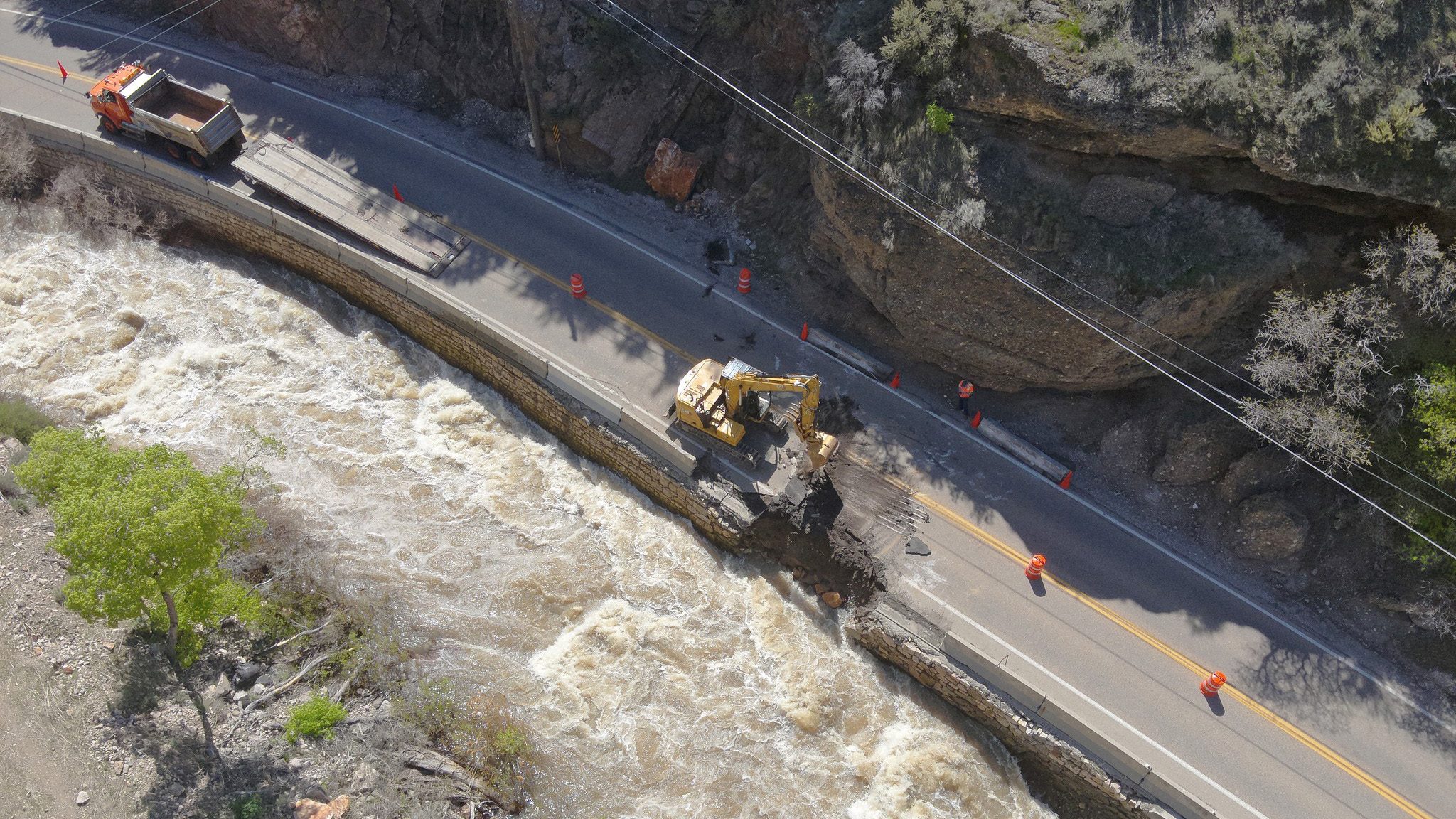
Conditions on Guardsman Pass, the mountain pass linking Park City and Big Cottonwood Canyon on SR-190, quickly became dangerous during the storm. The Utah Department of Transportation (UDOT) closed the road around 11:30 a.m. to ensure safety amid accumulating snow and rapidly changing conditions. The road reopened Sunday afternoon.
In the valley, Salt Lake City saw 2.47 inches of rain — the second wettest day in the area’s history, according to the National Weather Service. The official wettest day happened in May 1901 when a storm brought in 2.64 inches of precipitation.
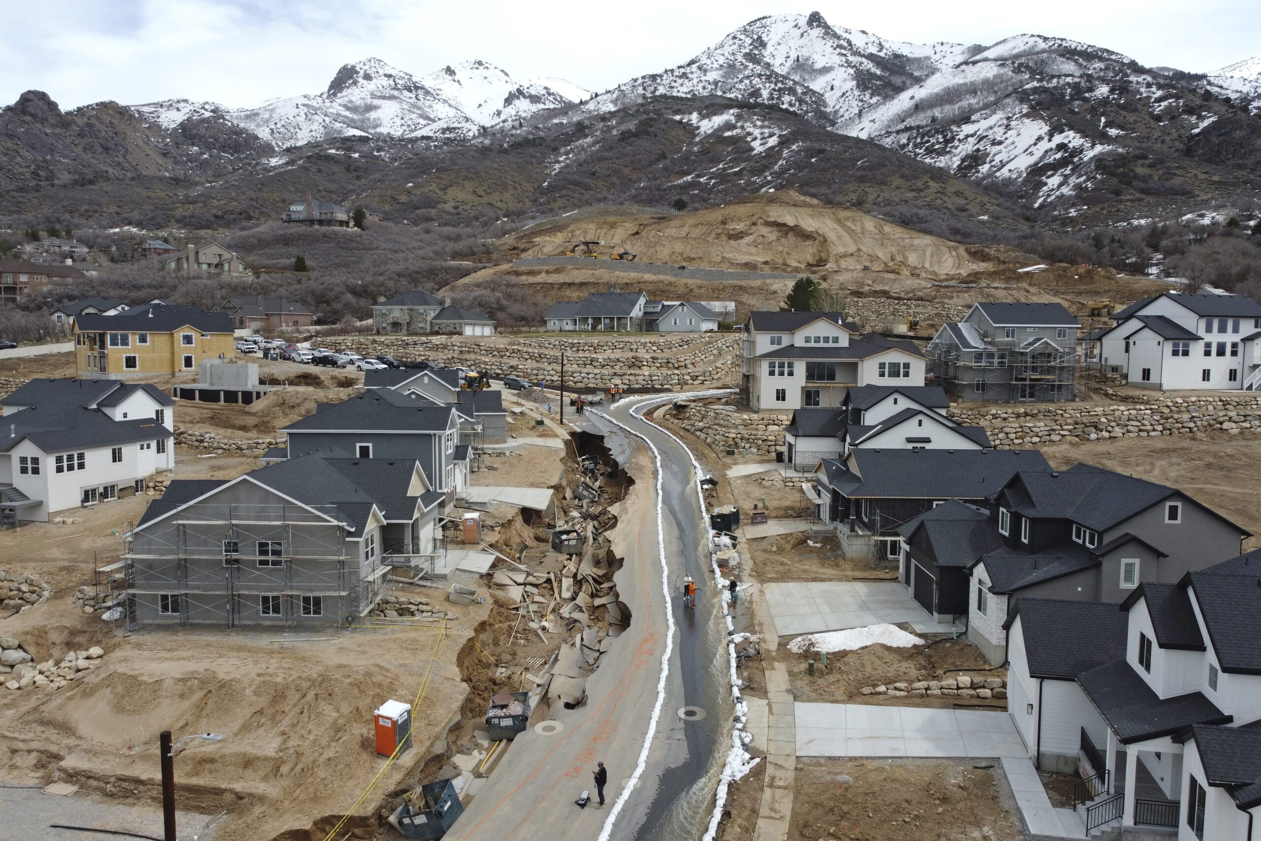
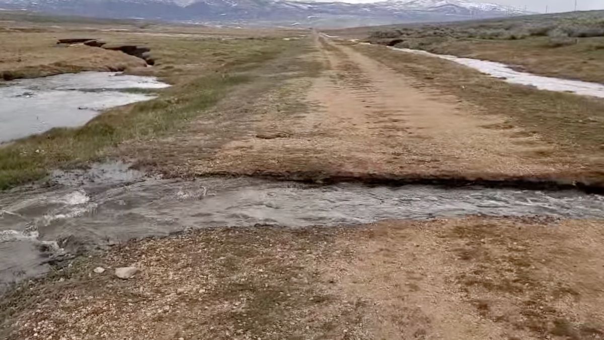
Home owners in Tooele County and Salt Lake County reported flooded streets and basements as canals and gutters filled and then overflowed. Salt Lake County officials said their flood control team was working to clear debris and brought in as many pumps as possible to clear the flooding, according to reporting by ABC4.
By: Heather Bergeson

325 White Pine Canyon Road
Park City, UT 84060
3267 W Deer Hollow Road, Unit 2305
Park City, UT 84060
438 Castle Valley Drive
Castle Valley, UT 84532
80 West 300 North
Salt Lake City, UT 84103
1511 S Valley View Circle
Springville, UT 84663
2349 S Lava Vista Drive, Lot 32
Santa Clara, UT 84765Talk of the Town


Park City Jobs

Hiring Barista Assistants and Baristas, Silver King Coffee
4 days ago Part time $17.00 - $30.00 hourly
General Maintenance Technician, Moose Management Vacation Rentals
8 days ago Full time

Office Coordinator, Park City Community Foundation
11 days ago Full time $50,000 - $55,000 yearly

Summit Land Conservancy Programs Specialist, Summit Land Conservancy
11 days ago Full time
Vice President of Finance, Park City Community Foundation
11 days ago Full time $115,000 - $130,000 yearly