Snow
Will Utah’s legendary powder show up this winter? Here’s what forecasters say
2025–2026 U.S. Winter Weather Forecast Photo: Old Farmer’s Almanac
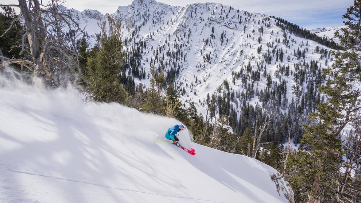
The Wasatch Range consistently delivers the deepest snowfall in the Rockies, meaning that even a “below-average” year here can still outperform other ski regions.
PARK CITY, Utah – With fewer than 100 days until ski season, skiers and riders have been watching the winter forecasts for months. This year’s outlook is similar to many before it: Utah’s slopes face a season of uncertainty, with climate signals pointing toward below-average snowfall and warmer-than-normal temperatures across much of the state.
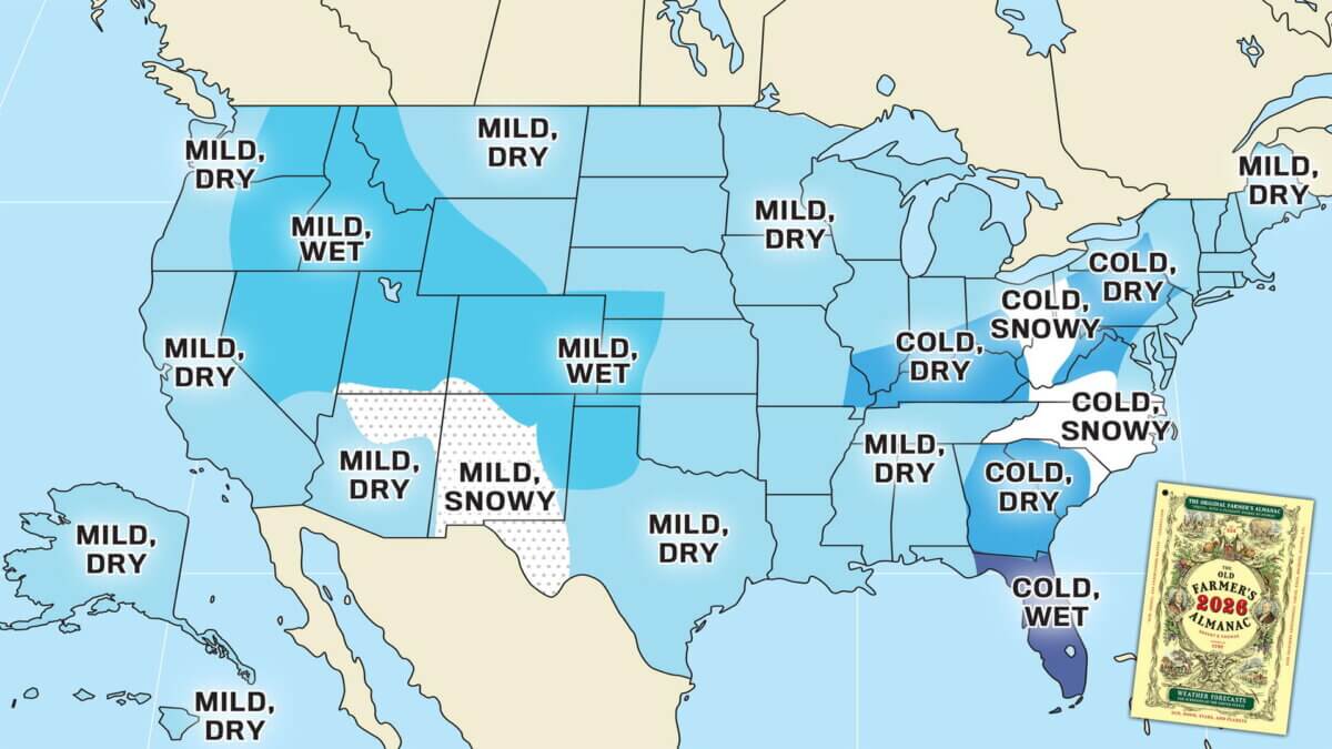
Old Farmers Almanac Winter 2025 / 2026 weather outlook
The Old Farmer’s Almanac offers a more optimistic view, projecting a “mild and wet” winter across the Central Rockies. That could translate to snow at higher elevations — a potential boost for Utah’s upper mountain terrain — though valley floors may see more rain than usual.

NOAA Winter 2025 / 2026 weather outlook
NOAA is currently forecasting temps for Dec, Jan and Feb are leaning above average while equal chances of above or below average precipitation.
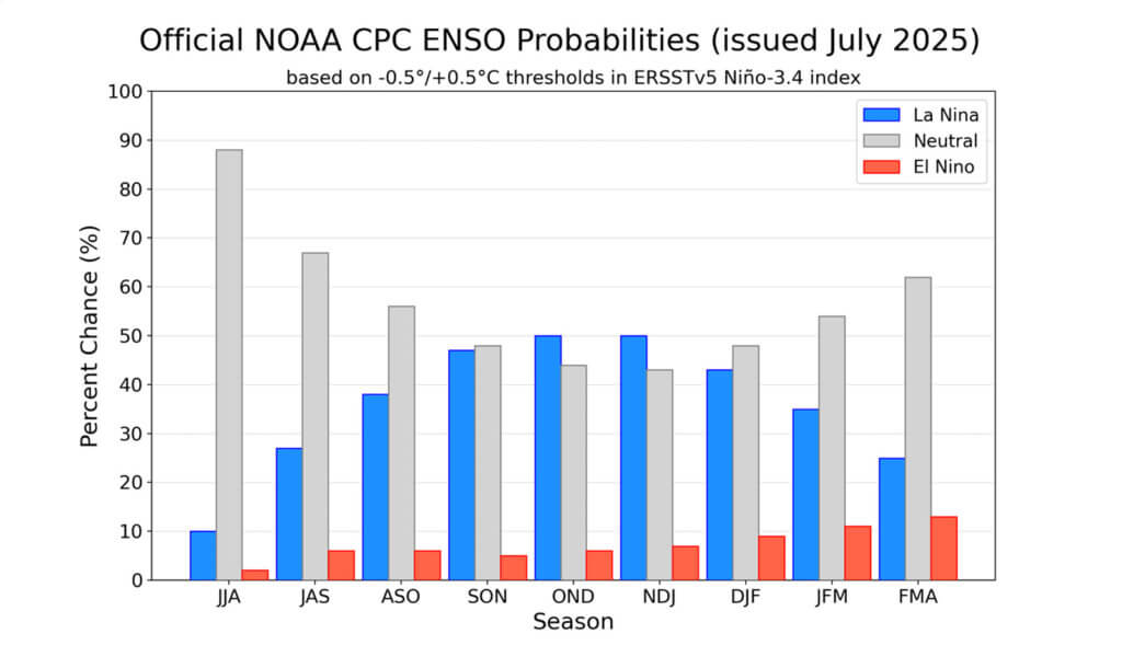
Other long-range outlooks are less rosy. According to Open Snow, historical analog years tied to neutral or weak La Niña conditions suggest below-normal snowfall for Utah, California, Nevada, and southern Oregon. Models indicate a 50% chance of La Niña developing by early winter, but by February through April, odds favor a return to Neutral conditions.
That means the early season — November through January — is expected to be near to below normal for snowfall. The Northern Rockies and Western Canada could pick up steam later in the winter, but those signals are weaker for the Wasatch.
Even so, forecasters caution against writing Utah off. The Wasatch Range consistently delivers the deepest snowfall in the Rockies, meaning that even a “below-average” year here can still outperform other ski regions. And in two of the seven past analog years (1997 and 2017), the Wasatch actually logged above-average totals despite the broader pattern.
Adding another wrinkle is the Quasi-Biennial Oscillation (QBO), which is expected to be in its easterly phase this winter. While not as influential as ENSO cycles, it can encourage high pressure near the West Coast and stormier conditions in the Northeast — another sign Utah may sit on the drier side of the pattern.
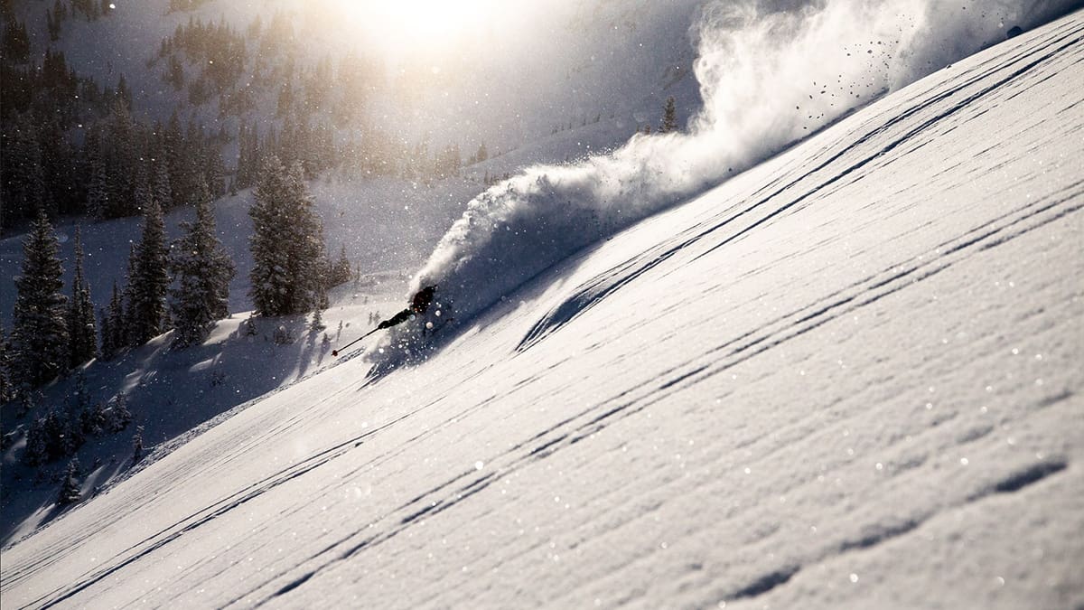
Bottom line: Utah skiers should expect a slower start to the season, with near to below-average snowfall overall. But given the Wasatch’s track record, storms could still deliver memorable powder days — even if totals fall short of the region’s legendary norms.
Utah Powder Odds: Winter 2025–26
Early Season (Nov–Jan):
- Odds lean below average snowfall.
- Expect a slower start, with fewer big dumps than usual.
- Base depths may lag behind some northern neighbors.
Midseason (Feb–Mar):
- Chances improve — weak La Niña/neutral patterns historically tip toward better late-season storms in the Rockies.
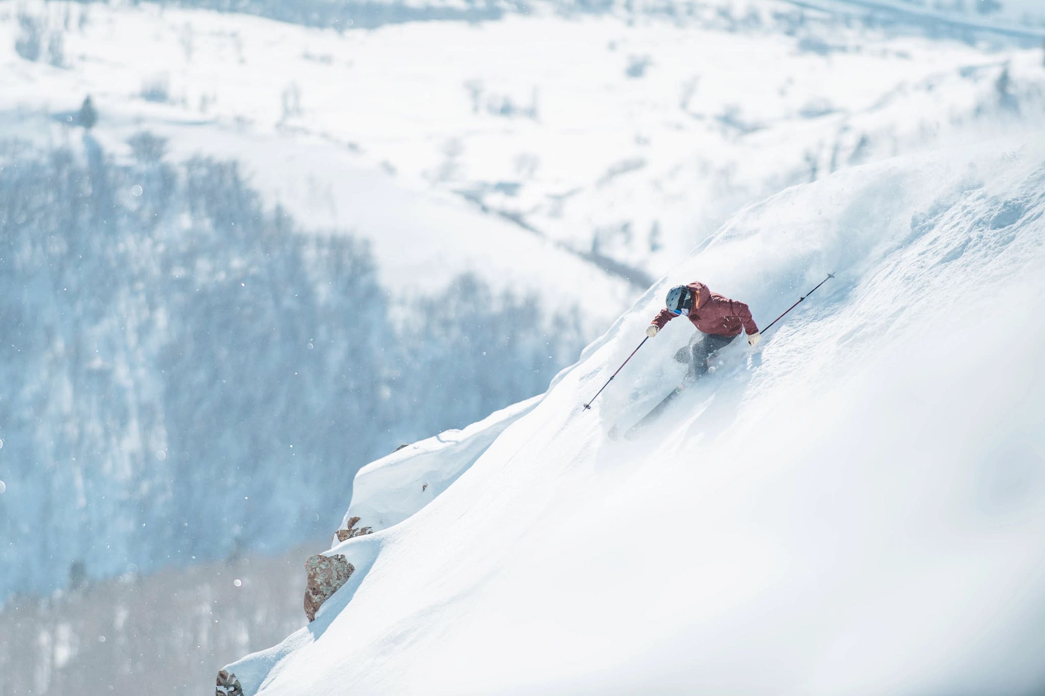
- The Wasatch often flips the script this time of year, stacking up accumulation fast.
Late Season (Apr+):
- Outlook favors near-normal conditions, but keep in mind the Wasatch usually wrings every drop of moisture into snow.
- “Bonus season” storms are always on the table.
Overall Outlook:
- Forecast signals point to slightly below-average snowfall statewide.
- BUT — remember: below-average in the Wasatch can still beat above-average almost anywhere else.
By: Marina Knight

325 White Pine Canyon Road
Park City, UT 84060
3267 W Deer Hollow Road, Unit 2305
Park City, UT 84060
2349 S Lava Vista Drive, Lot 32
Santa Clara, UT 84765
80 West 300 North
Salt Lake City, UT 84103
1511 S Valley View Circle
Springville, UT 84663
438 Castle Valley Drive
Castle Valley, UT 84532Talk of the Town


Park City Jobs

Hiring Barista Assistants and Baristas, Silver King Coffee
8 days ago Part time $17.00 - $30.00 hourly
General Maintenance Technician, Moose Management Vacation Rentals
11 days ago Full time

Office Coordinator, Park City Community Foundation
14 days ago Full time $50,000 - $55,000 yearly

Summit Land Conservancy Programs Specialist, Summit Land Conservancy
14 days ago Full time
Vice President of Finance, Park City Community Foundation
14 days ago Full time $115,000 - $130,000 yearly