Snow
Early winter weather 2025-2026 prediction: La Niña could be on the horizon
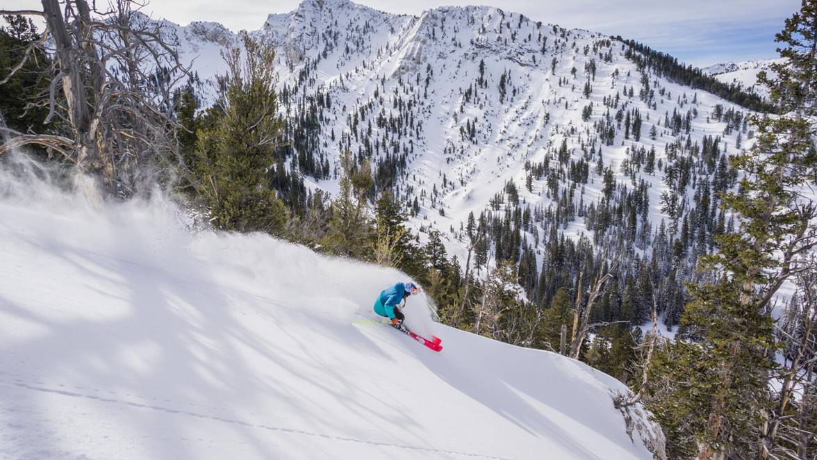
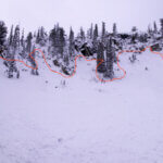
A skier on a powder day at Solitude Mountain Resort. Photo: Solitude Mountain Resort.
PARK CITY, Utah — While it’s still mid-summer, snow lovers across Utah are already speculating about the kind of winter the 2025–26 season might bring. This week, OpenSnow meteorologist Alan Smith released an early outlook based on long-range climate signals—and for now, all eyes are on the Pacific.
According to Smith, current conditions in the Pacific Ocean are “ENSO-neutral.” That’s science speak meaning sea-surface temps in the Pacific near the equator are close to average. But recent climate models are beginning to shift. Both NOAA and the European model show increasing odds—around 50%—that a weak La Niña could develop between October and January, with only a 10% chance of an El Niño returning.
That potential shift has big implications for Utah, which historically straddles the dividing line between northern and southern U.S. weather patterns. During La Niña winters, the jet stream often pushes north, bringing colder and wetter conditions to the northern U.S. and drier, warmer air to the south. Utah sits in the transition zone—but has often benefited when storm tracks dip southward from the Pacific Northwest.

Utah’s 2022–23 La Niña season brought over 900 inches of snow to Alta, remembered as the snowiest winter on record. While 2023-24’s El Niño also brought deep snow totals—over 600 inches—La Niña winters like 2010–11 and 2016–17 are remembered as banner years for the Beehive State. “If those cold, wet storms push down from the Pacific Northwest,” last year’s outlook observed, “their path can intercept Northern Utah.”

The NOAA Seasonal Precipitation Forecast for Dec, Jan, Feb 2026 currently shows equal changes of Above average or Below average winter for Utah.
This year, OpenSnow is also watching other key signals, including cooling North Atlantic Ocean temperatures, a shift to an easterly phase of the Quasi-Biennial Oscillation (QBO), and unusually cold waters off the California coast. While these patterns are not as dominant as ENSO, they may reinforce storm-friendly “troughing” patterns in the West. Still, Smith cautioned that some of these trends could reverse by winter.
Another wild card? Siberian snow cover in October. Research has shown that above-average snowpack in Siberia can weaken the polar vortex, potentially increasing cold air intrusions into the U.S. Midwest and Northeast—sometimes extending as far west as Utah.
For now, it’s too early to make specific snowfall predictions. But with early signals pointing toward a neutral to weak La Niña winter, and recent history showing how favorable that can be for Utah’s mountains, anticipation is already building among the state’s ski and snowboard community.
OpenSnow’s full winter forecast will be released in August.
By: Marina Knight

4170 Vista Antigua Road
Moab, UT 84532
4155 S Parkview Drive
Salt Lake City, UT 84124
4028 E Outcrop Road
Park City, UT 84098
1355 E Snow Canyon Parkway, Lot 27
Ivins, UT 84738
1104 West 10125 South
South Jordan, UT 84095Talk of the Town


Park City Jobs

Dog Walker, wagging tails on the trails
4 days ago Part time $20.00 - $25.00 hourly
Retail Sales Associate - Promontory Club, Promontory Club
5 days ago Part time $23.00 hourly
SENIOR HOA BOOKKEEPER WANTED, Compass Management Services
12 days ago Full time

Systems Administrator, Basin Recreation
16 days ago Full time $70,645 - $88,306 yearly
Accounts Payable Lead Coordinator, Basin Recreation
16 days ago Full time $58,871 - $73,588 yearly